
Distance between  Sandy and
  Downham Market
43.56 mi Straight Distance
56.82 mi Driving Distance
1 hour 20 mins Estimated Driving Time
The straight distance between Sandy (England) and Downham Market (England) is 43.56 mi, but the driving distance is 56.82 mi.
It takes 1 hour 20 mins to go from Sandy to Downham Market.
Driving directions from Sandy to Downham Market
Distance in kilometers
Straight distance: 70.09 km. Route distance: 91.43 km
Sandy, United Kingdom
Latitude: 52.1281 // Longitude: -0.286788
Photos of Sandy


Sandy Weather

Forecast: Light rain
Temperature: 6.7°
Humidity: 73%
Current time: 01:28 PM
Sunrise: 06:31 AM
Sunset: 05:52 PM
Downham Market, United Kingdom
Latitude: 52.6066 // Longitude: 0.385472
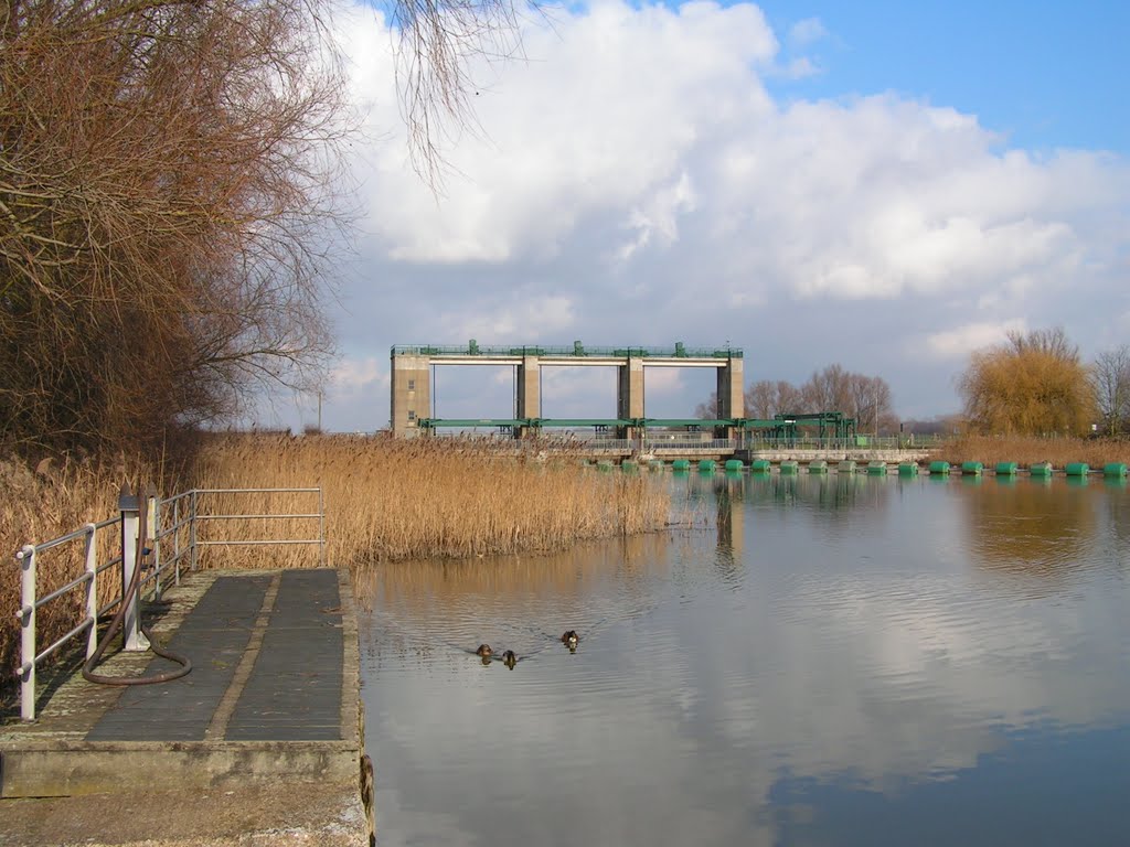
Photos of Downham Market


Downham Market Weather
Forecast: Light rain
Temperature: 6.3°
Humidity: 99%
Current time: 01:28 PM
Sunrise: 06:29 AM
Sunset: 05:49 PM


