
Distance between  Penmaenmawr and
  Llangollen
37.24 mi Straight Distance
51.11 mi Driving Distance
1 hour 20 mins Estimated Driving Time
The straight distance between Penmaenmawr (Wales) and Llangollen (Wales) is 37.24 mi, but the driving distance is 51.11 mi.
It takes 1 hour 17 mins to go from Penmaenmawr to Llangollen.
Driving directions from Penmaenmawr to Llangollen
Distance in kilometers
Straight distance: 59.92 km. Route distance: 82.24 km
Penmaenmawr, United Kingdom
Latitude: 53.2666 // Longitude: -3.92065
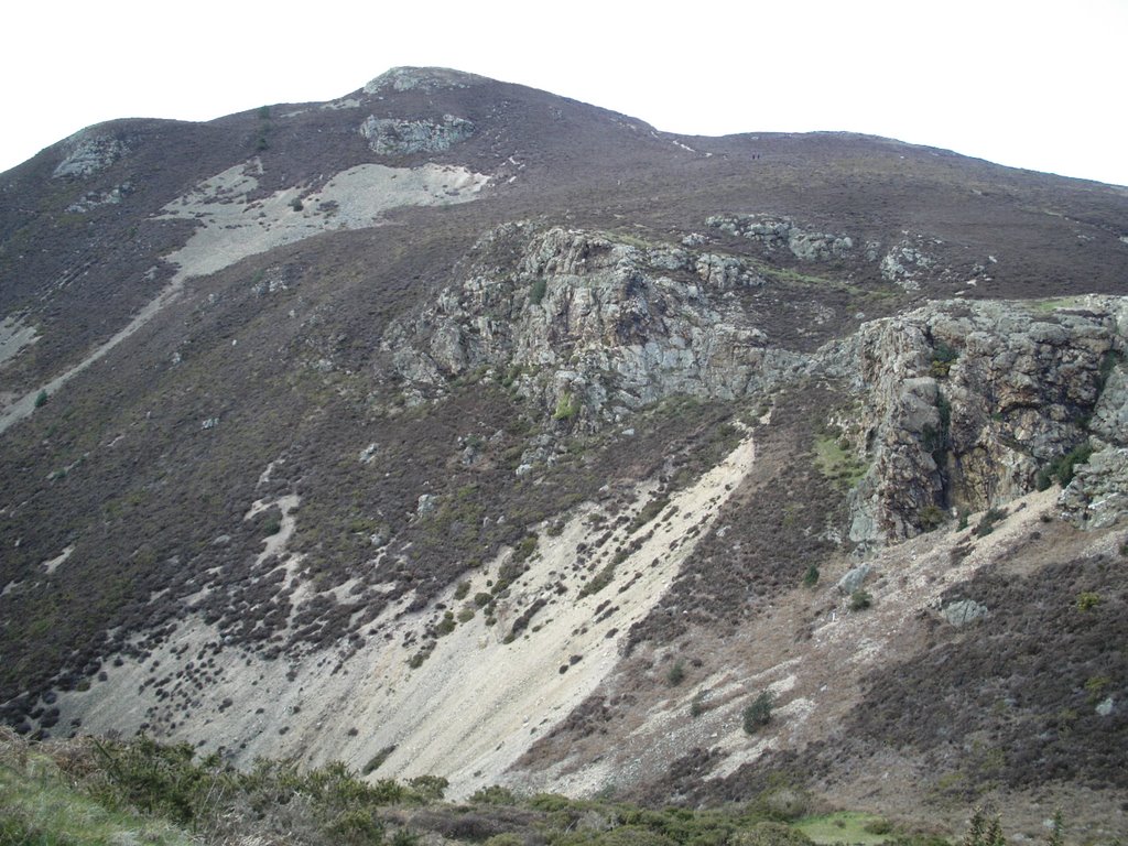
Photos of Penmaenmawr


Penmaenmawr Weather

Predicción: Cielo claro
Temperatura: 18.0°
Humedad: 40%
Hora actual: 02:43 PM
Amanece: 07:48 AM
Anochece: 05:10 PM
Llangollen, United Kingdom
Latitude: 52.9692 // Longitude: -3.17166
Photos of Llangollen


Llangollen Weather
Predicción: Cielo claro
Temperatura: 18.0°
Humedad: 40%
Hora actual: 02:43 PM
Amanece: 07:44 AM
Anochece: 05:08 PM


