
Distance between  Matlock and
  Aghadrumsee
245.28 mi Straight Distance
317.61 mi Driving Distance
7 hours 51 mins Estimated Driving Time
The straight distance between Matlock (England) and Aghadrumsee (Northern Ireland) is 245.28 mi, but the driving distance is 317.61 mi.
It takes 7 hours 51 mins to go from Matlock to Aghadrumsee.
Driving directions from Matlock to Aghadrumsee
Distance in kilometers
Straight distance: 394.65 km. Route distance: 511.03 km
Matlock, United Kingdom
Latitude: 53.1372 // Longitude: -1.55177
Photos of Matlock


Matlock Weather

Forecast: Overcast clouds
Temperature: 5.3°
Humidity: 89%
Current time: 10:50 AM
Sunrise: 06:37 AM
Sunset: 05:56 PM
Aghadrumsee, United Kingdom
Latitude: 54.2252 // Longitude: -7.25916
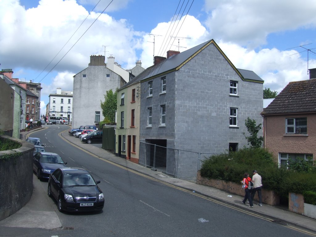
Photos of Aghadrumsee


Aghadrumsee Weather
Forecast: Overcast clouds
Temperature: 3.4°
Humidity: 89%
Current time: 10:50 AM
Sunrise: 07:01 AM
Sunset: 06:18 PM


