
Distance between  Eccleshall and
  Penmaenmawr
74.76 mi Straight Distance
94.52 mi Driving Distance
2 hours 0 mins Estimated Driving Time
The straight distance between Eccleshall (England) and Penmaenmawr (Wales) is 74.76 mi, but the driving distance is 94.52 mi.
It takes 2 hours 0 mins to go from Eccleshall to Penmaenmawr.
Driving directions from Eccleshall to Penmaenmawr
Distance in kilometers
Straight distance: 120.28 km. Route distance: 152.08 km
Eccleshall, United Kingdom
Latitude: 52.8587 // Longitude: -2.25302
Photos of Eccleshall


Eccleshall Weather

Forecast: Clear sky
Temperature: 18.0°
Humidity: 40%
Current time: 10:55 AM
Sunrise: 06:37 AM
Sunset: 06:01 PM
Penmaenmawr, United Kingdom
Latitude: 53.2666 // Longitude: -3.92065
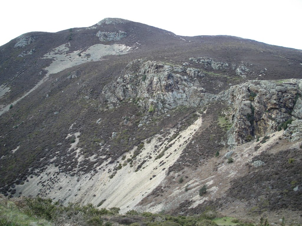
Photos of Penmaenmawr


Penmaenmawr Weather
Forecast: Clear sky
Temperature: 18.0°
Humidity: 40%
Current time: 10:55 AM
Sunrise: 06:44 AM
Sunset: 06:08 PM


