
Distance between  Downham Market and
  Middlesbrough
151.31 mi Straight Distance
189.38 mi Driving Distance
3 hours 41 mins Estimated Driving Time
The straight distance between Downham Market (England) and Middlesbrough (England) is 151.31 mi, but the driving distance is 189.38 mi.
It takes 3 hours 28 mins to go from Downham Market to Middlesbrough.
Driving directions from Downham Market to Middlesbrough
Distance in kilometers
Straight distance: 243.46 km. Route distance: 304.72 km
Downham Market, United Kingdom
Latitude: 52.6066 // Longitude: 0.385472
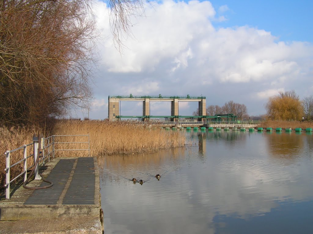
Photos of Downham Market


Downham Market Weather

Forecast: Overcast clouds
Temperature: 1.7°
Humidity: 86%
Current time: 11:22 AM
Sunrise: 07:12 AM
Sunset: 05:12 PM
Middlesbrough, United Kingdom
Latitude: 54.5742 // Longitude: -1.23496
Photos of Middlesbrough


Middlesbrough Weather
Forecast: Overcast clouds
Temperature: 2.8°
Humidity: 79%
Current time: 11:22 AM
Sunrise: 07:23 AM
Sunset: 05:14 PM


