
Distance between  Downham Market and
  Caistor
68.09 mi Straight Distance
85.13 mi Driving Distance
1 hour 59 mins Estimated Driving Time
The straight distance between Downham Market (England) and Caistor (England) is 68.09 mi, but the driving distance is 85.13 mi.
It takes 2 hours 1 min to go from Downham Market to Caistor.
Driving directions from Downham Market to Caistor
Distance in kilometers
Straight distance: 109.56 km. Route distance: 136.97 km
Downham Market, United Kingdom
Latitude: 52.6066 // Longitude: 0.385472
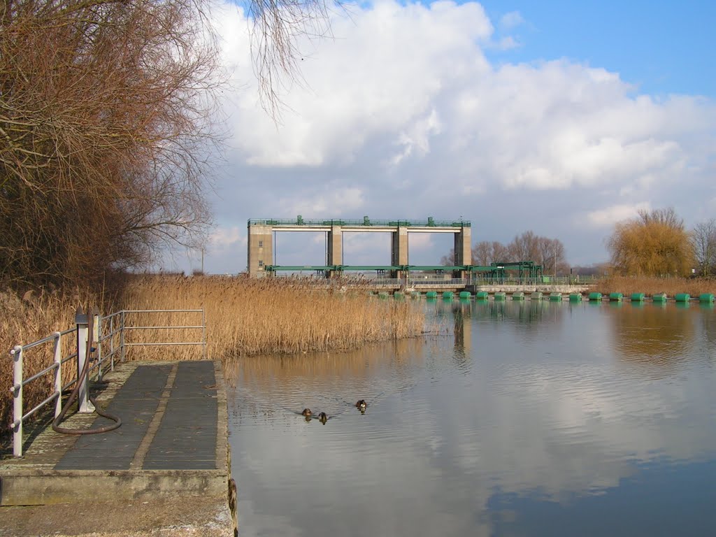
Photos of Downham Market


Downham Market Weather

Forecast: Broken clouds
Temperature: 11.3°
Humidity: 91%
Current time: 09:33 AM
Sunrise: 06:58 AM
Sunset: 05:25 PM
Caistor, United Kingdom
Latitude: 53.4975 // Longitude: -0.315393
Photos of Caistor

 Approaching \"Roman Hole\" near Thoresway")


Caistor Weather

Forecast: Scattered clouds
Temperature: 11.7°
Humidity: 94%
Current time: 09:33 AM
Sunrise: 07:02 AM
Sunset: 05:26 PM


