
Distance between  Derrymacash and
  Aghadrumsee
38.64 mi Straight Distance
56.76 mi Driving Distance
1 hour 9 mins Estimated Driving Time
The straight distance between Derrymacash (Northern Ireland) and Aghadrumsee (Northern Ireland) is 38.64 mi, but the driving distance is 56.76 mi.
It takes 1 hour 9 mins to go from Derrymacash to Aghadrumsee.
Driving directions from Derrymacash to Aghadrumsee
Distance in kilometers
Straight distance: 62.17 km. Route distance: 91.32 km
Derrymacash, United Kingdom
Latitude: 54.4787 // Longitude: -6.40389
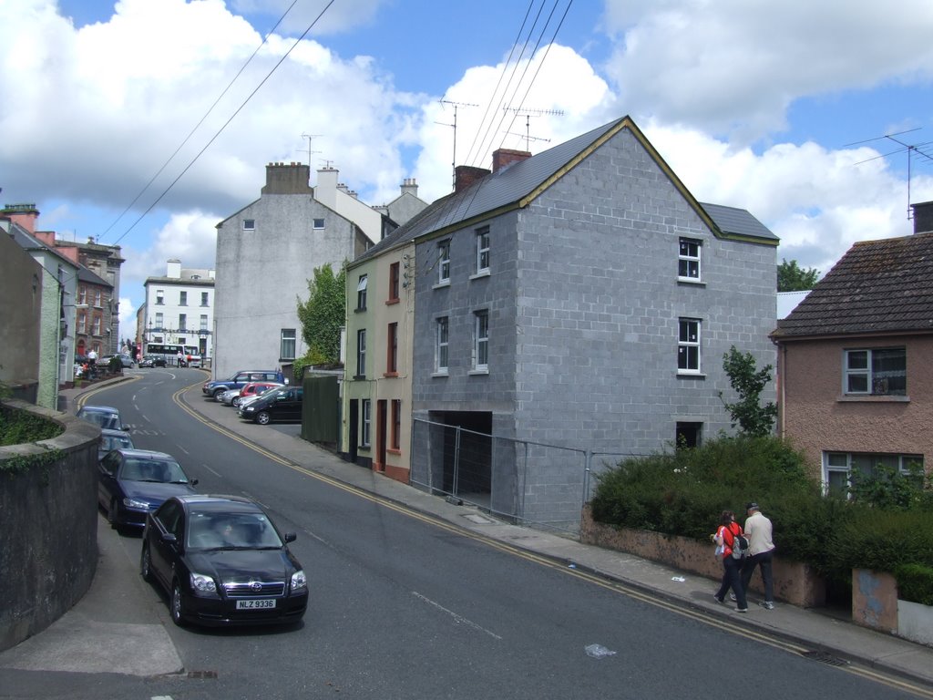
Photos of Derrymacash


Derrymacash Weather

Forecast: Scattered clouds
Temperature: 2.3°
Humidity: 87%
Current time: 06:20 AM
Sunrise: 06:43 AM
Sunset: 06:26 PM
Aghadrumsee, United Kingdom
Latitude: 54.2252 // Longitude: -7.25916
Photos of Aghadrumsee


Aghadrumsee Weather

Forecast: Overcast clouds
Temperature: 2.4°
Humidity: 88%
Current time: 06:20 AM
Sunrise: 06:46 AM
Sunset: 06:30 PM


