
Distance between  Clitheroe and
  Penmaenmawr
75.32 mi Straight Distance
115.62 mi Driving Distance
2 hours 16 mins Estimated Driving Time
The straight distance between Clitheroe (England) and Penmaenmawr (Wales) is 75.32 mi, but the driving distance is 115.62 mi.
It takes to go from Clitheroe to Penmaenmawr.
Driving directions from Clitheroe to Penmaenmawr
Distance in kilometers
Straight distance: 121.19 km. Route distance: 186.03 km
Clitheroe, United Kingdom
Latitude: 53.8711 // Longitude: -2.39308
Photos of Clitheroe


Clitheroe Weather

Predicción: Broken clouds
Temperatura: 3.4°
Humedad: 91%
Hora actual: 05:33 PM
Amanece: 07:28 AM
Anochece: 05:18 PM
Penmaenmawr, United Kingdom
Latitude: 53.2666 // Longitude: -3.92065
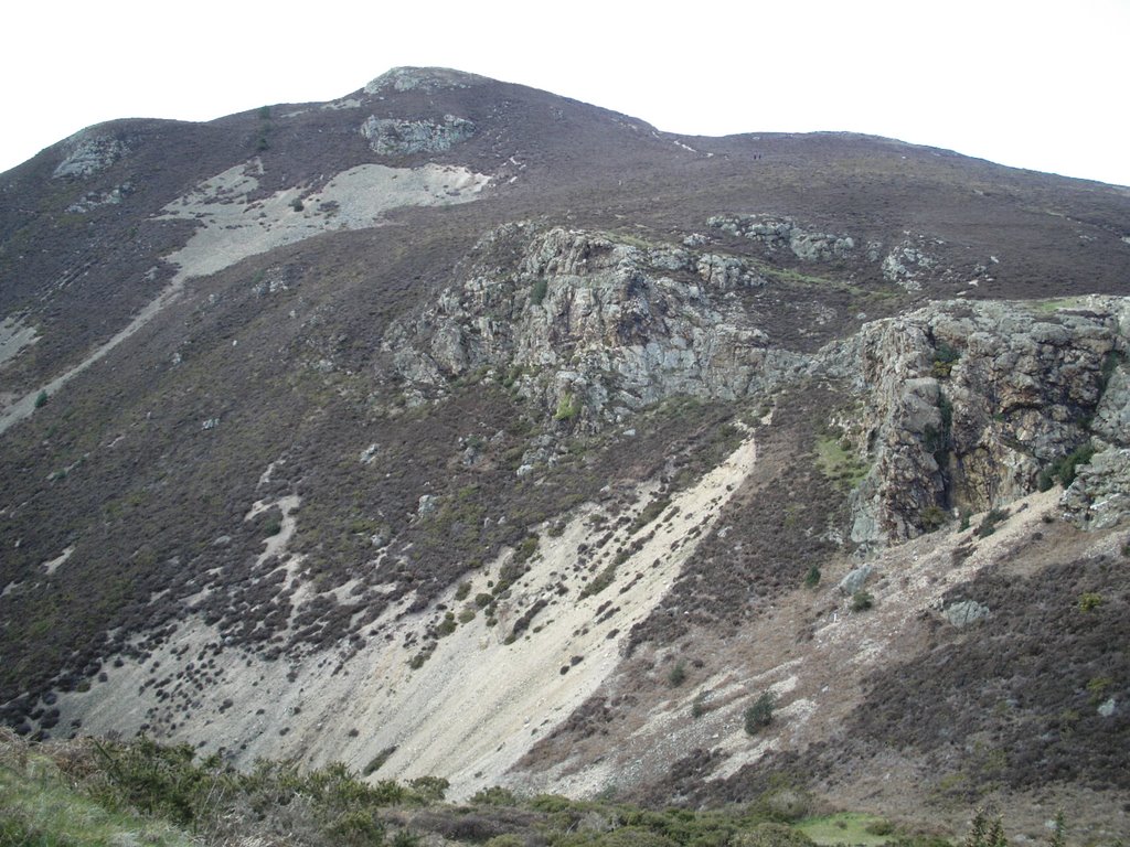
Photos of Penmaenmawr


Penmaenmawr Weather
Predicción: Overcast clouds
Temperatura: 4.0°
Humedad: 77%
Hora actual: 05:33 PM
Amanece: 07:33 AM
Anochece: 05:26 PM


