
Distance between  Bready and
  Aghadrumsee
48.23 mi Straight Distance
56.22 mi Driving Distance
1 hour 16 mins Estimated Driving Time
The straight distance between Bready (Northern Ireland) and Aghadrumsee (Northern Ireland) is 48.23 mi, but the driving distance is 56.22 mi.
It takes 1 hour 16 mins to go from Bready to Aghadrumsee.
Driving directions from Bready to Aghadrumsee
Distance in kilometers
Straight distance: 77.59 km. Route distance: 90.45 km
Bready, United Kingdom
Latitude: 54.917 // Longitude: -7.41894
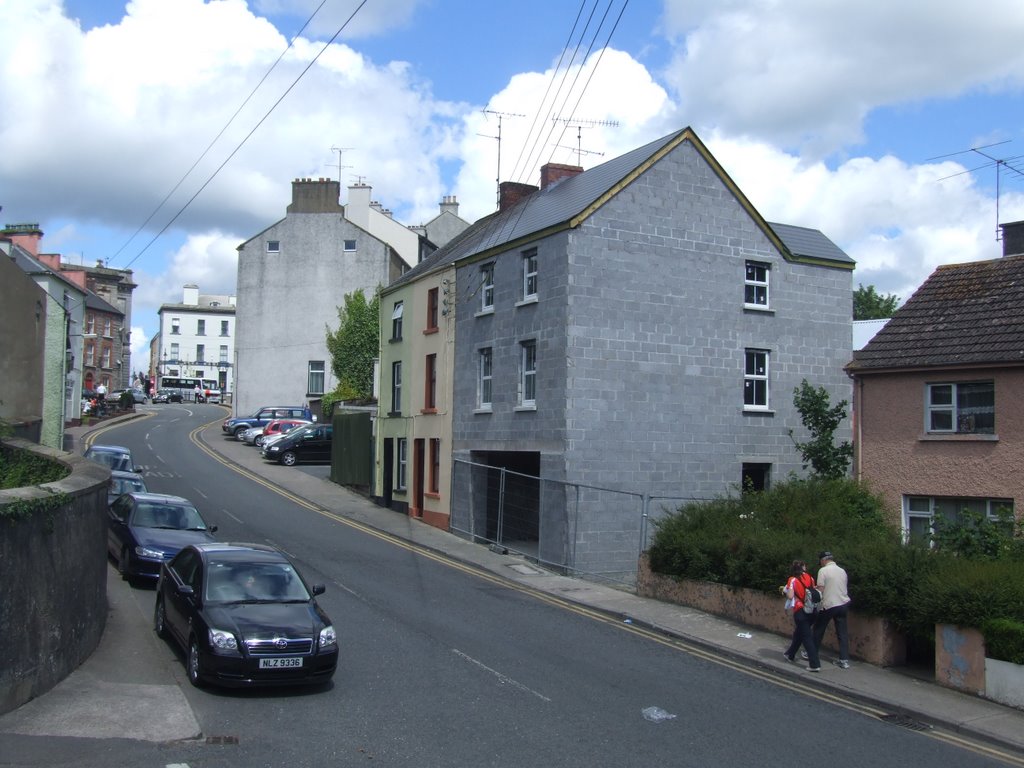
Photos of Bready


Bready Weather

Forecast: Moderate rain
Temperature: 10.9°
Humidity: 82%
Current time: 04:58 PM
Sunrise: 06:54 AM
Sunset: 06:24 PM
Aghadrumsee, United Kingdom
Latitude: 54.2252 // Longitude: -7.25916
Photos of Aghadrumsee


Aghadrumsee Weather
Forecast: Moderate rain
Temperature: 11.0°
Humidity: 91%
Current time: 04:58 PM
Sunrise: 06:53 AM
Sunset: 06:24 PM


