
Distance between  Berkeley and
  Penmaenmawr
125.10 mi Straight Distance
188.80 mi Driving Distance
3 hours 43 mins Estimated Driving Time
The straight distance between Berkeley (England) and Penmaenmawr (Wales) is 125.10 mi, but the driving distance is 188.80 mi.
It takes 3 hours 21 mins to go from Berkeley to Penmaenmawr.
Driving directions from Berkeley to Penmaenmawr
Distance in kilometers
Straight distance: 201.28 km. Route distance: 303.78 km
Berkeley, United Kingdom
Latitude: 51.6907 // Longitude: -2.45682
Photos of Berkeley


Berkeley Weather

Forecast: Overcast clouds
Temperature: 11.3°
Humidity: 94%
Current time: 02:06 AM
Sunrise: 07:03 AM
Sunset: 05:42 PM
Penmaenmawr, United Kingdom
Latitude: 53.2666 // Longitude: -3.92065
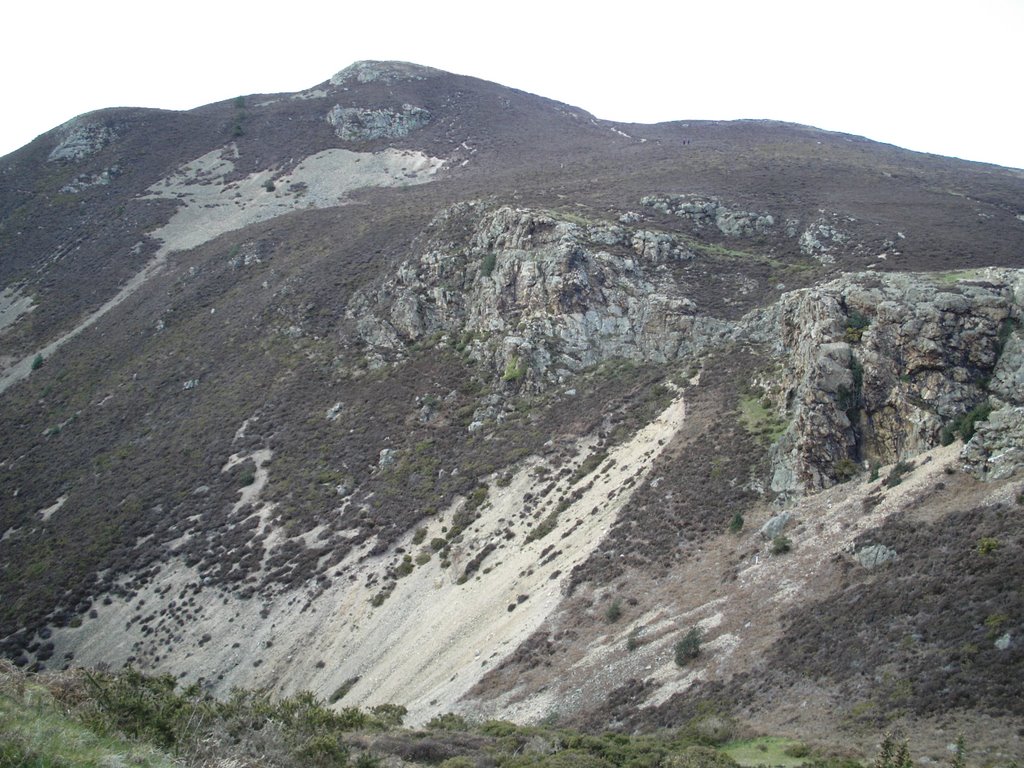
Photos of Penmaenmawr


Penmaenmawr Weather
Forecast: Overcast clouds
Temperature: 10.4°
Humidity: 92%
Current time: 02:06 AM
Sunrise: 07:12 AM
Sunset: 05:45 PM


