Distance between  Ballintoy and
  Armagh
62.42 mi Straight Distance
83.68 mi Driving Distance
1 hour 46 mins Estimated Driving Time
The straight distance between Ballintoy (Northern Ireland) and Armagh (Northern Ireland) is 62.42 mi, but the driving distance is 83.68 mi.
It takes 1 hour 57 mins to go from Ballintoy to Armagh.
Driving directions from Ballintoy to Armagh
Distance in kilometers
Straight distance: 100.44 km. Route distance: 134.65 km
Ballintoy, United Kingdom
Latitude: 55.2364 // Longitude: -6.35914
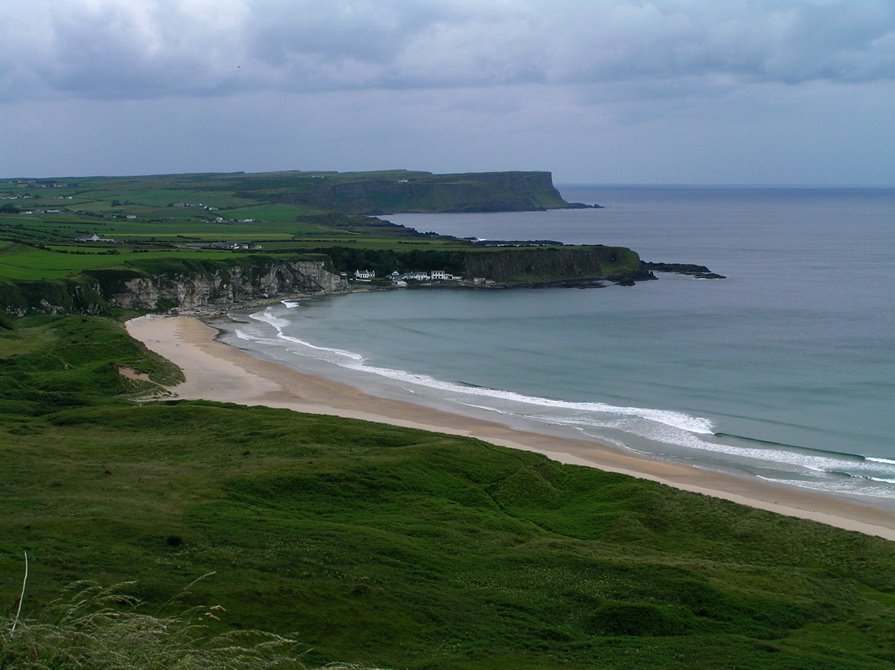
Photos of Ballintoy
Ballintoy Weather

Forecast: Light rain
Temperature: 9.8°
Humidity: 80%
Current time: 07:40 PM
Sunrise: 07:20 AM
Sunset: 05:55 PM
Armagh, United Kingdom
Latitude: 54.3488 // Longitude: -6.65161
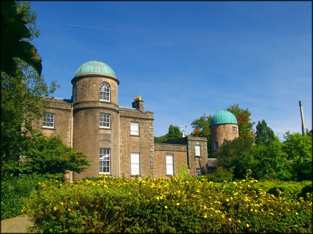
Photos of Armagh
Armagh Weather

Forecast: Light rain
Temperature: 8.7°
Humidity: 90%
Current time: 07:40 PM
Sunrise: 07:20 AM
Sunset: 05:58 PM


