
Distance between  Altamuskin and
  Aghadowey
39.39 mi Straight Distance
51.68 mi Driving Distance
1 hour 19 mins Estimated Driving Time
The straight distance between Altamuskin (Northern Ireland) and Aghadowey (Northern Ireland) is 39.39 mi, but the driving distance is 51.68 mi.
It takes 1 hour 28 mins to go from Altamuskin to Aghadowey.
Driving directions from Altamuskin to Aghadowey
Distance in kilometers
Straight distance: 63.38 km. Route distance: 83.15 km
Altamuskin, United Kingdom
Latitude: 54.5167 // Longitude: -7.08333
Photos of Altamuskin


Altamuskin Weather

Predicción: Cielo claro
Temperatura: 18.0°
Humedad: 40%
Hora actual: 12:00 AM
Amanece: 08:05 AM
Anochece: 05:19 PM
Aghadowey, United Kingdom
Latitude: 55.0296 // Longitude: -6.65189
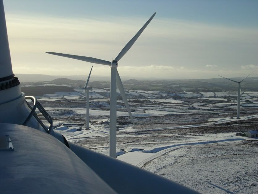
Photos of Aghadowey


")


Aghadowey Weather
Predicción: Cielo claro
Temperatura: 18.0°
Humedad: 40%
Hora actual: 01:20 PM
Amanece: 08:05 AM
Anochece: 05:15 PM


