Distance between  Ystradgynlais and
  Bala
Bala
78.36 mi Straight Distance
120.57 mi Driving Distance
2 hours 24 mins Estimated Driving Time
The straight distance between Ystradgynlais (Wales) and Bala (Wales) is 78.36 mi, but the driving distance is 120.57 mi.
It takes 2 hours 59 mins to go from Ystradgynlais to Bala.
Driving directions from Ystradgynlais to Bala
Distance in kilometers
Straight distance: 126.08 km. Route distance: 194.00 km
Ystradgynlais, United Kingdom
Latitude: 51.7796 // Longitude: -3.7536
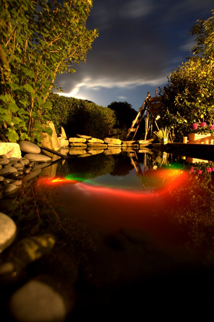
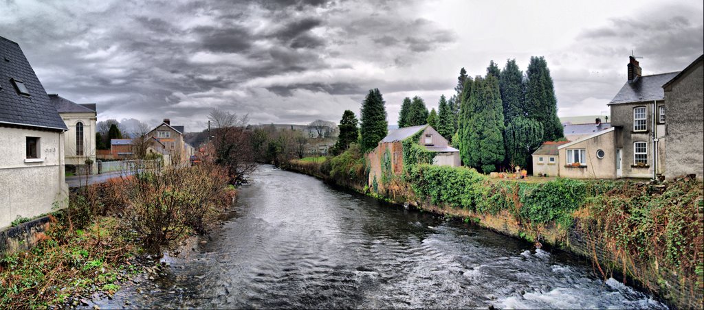
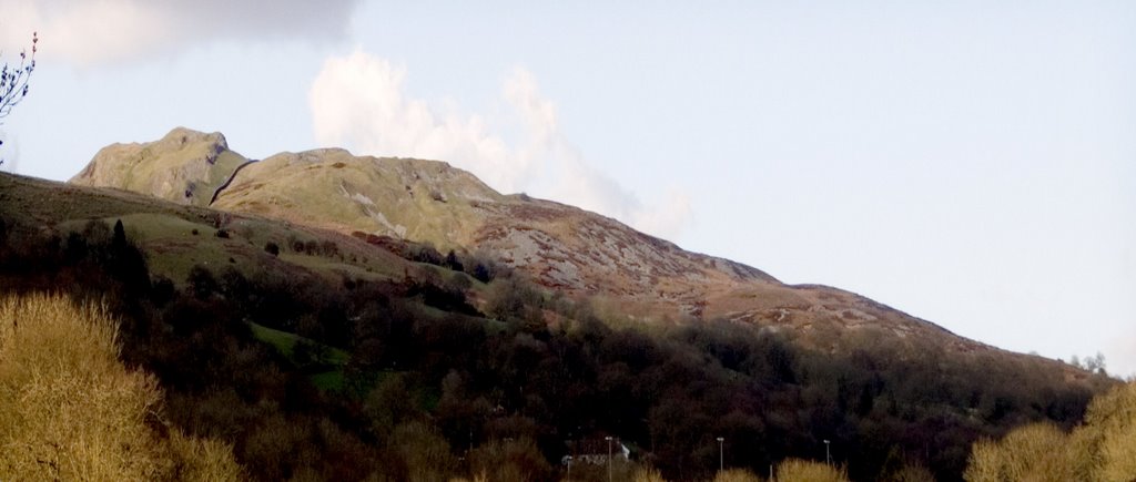
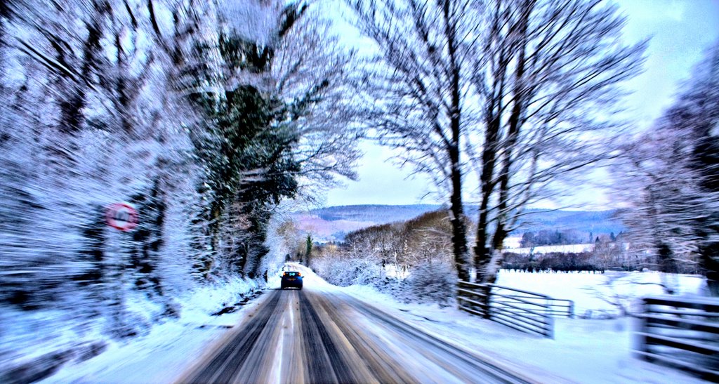
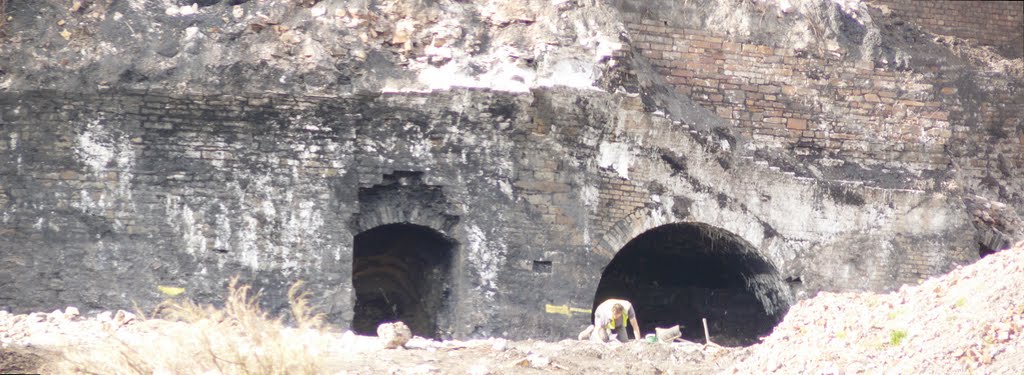
Photos of Ystradgynlais
Ystradgynlais Weather

Predicción: Few clouds
Temperatura: 11.9°
Humedad: 58%
Hora actual: 05:23 PM
Amanece: 06:14 AM
Anochece: 08:15 PM
Bala, United Kingdom
Latitude: 52.9099 // Longitude: -3.60158
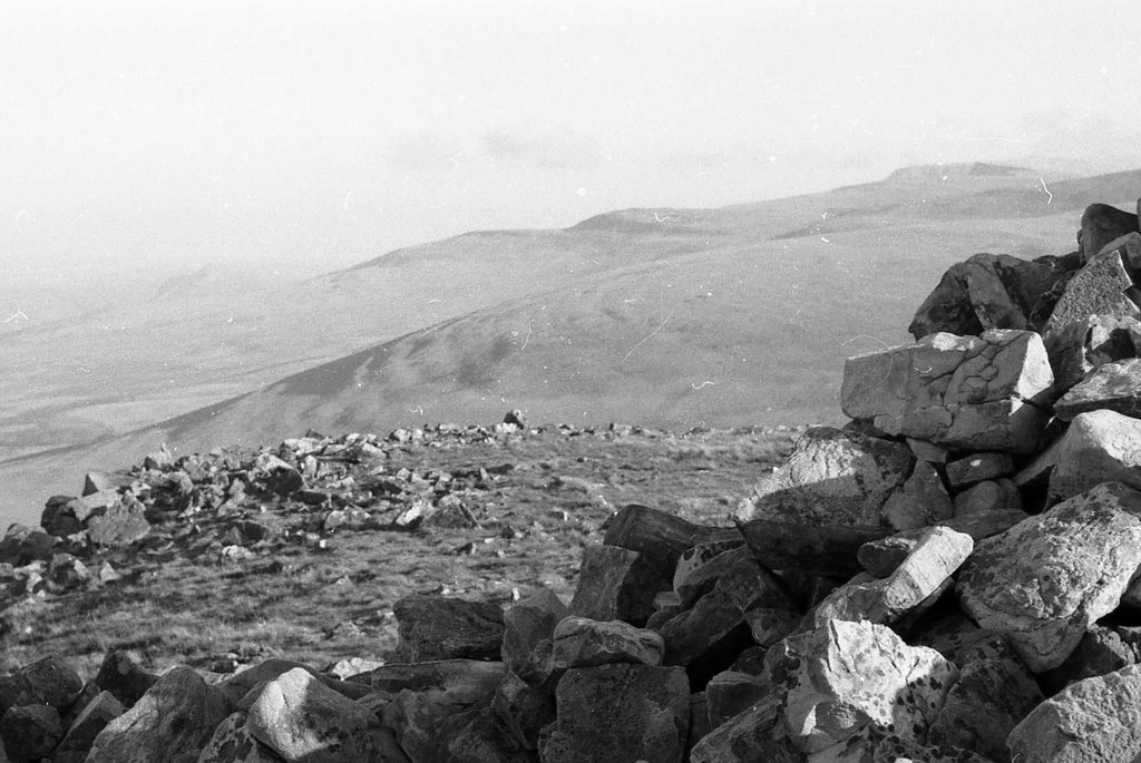
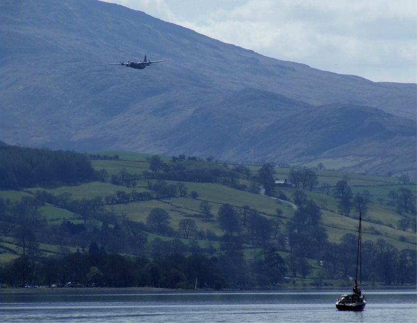
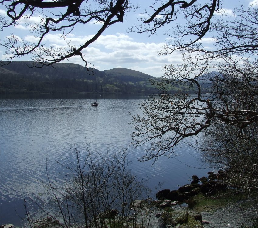
Photos of Bala
Bala Weather

Predicción: Few clouds
Temperatura: 10.6°
Humedad: 61%
Hora actual: 05:23 PM
Amanece: 06:10 AM
Anochece: 08:17 PM


