Distance between  Winsford and
  Warwick
74.16 mi Straight Distance
90.59 mi Driving Distance
1 hour 33 mins Estimated Driving Time
The straight distance between Winsford (England) and Warwick (England) is 74.16 mi, but the driving distance is 90.59 mi.
It takes 1 hour 41 mins to go from Winsford to Warwick.
Driving directions from Winsford to Warwick
Distance in kilometers
Straight distance: 119.32 km. Route distance: 145.76 km
Winsford, United Kingdom
Latitude: 53.1943 // Longitude: -2.51967
Photos of Winsford
Winsford Weather

Predicción: Overcast clouds
Temperatura: 9.5°
Humedad: 65%
Hora actual: 10:52 AM
Amanece: 06:01 AM
Anochece: 08:16 PM
Warwick, United Kingdom
Latitude: 52.2823 // Longitude: -1.58493
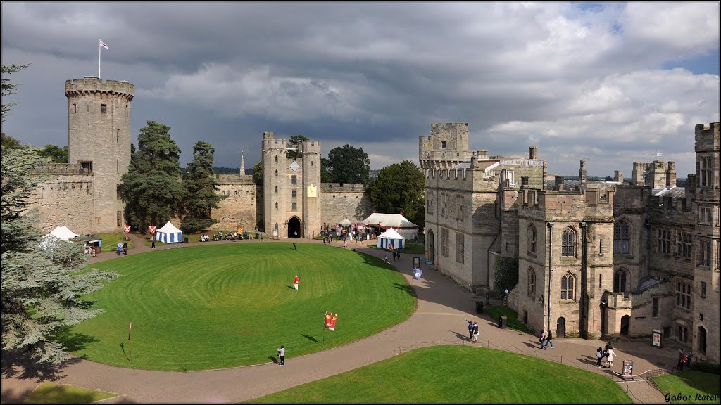
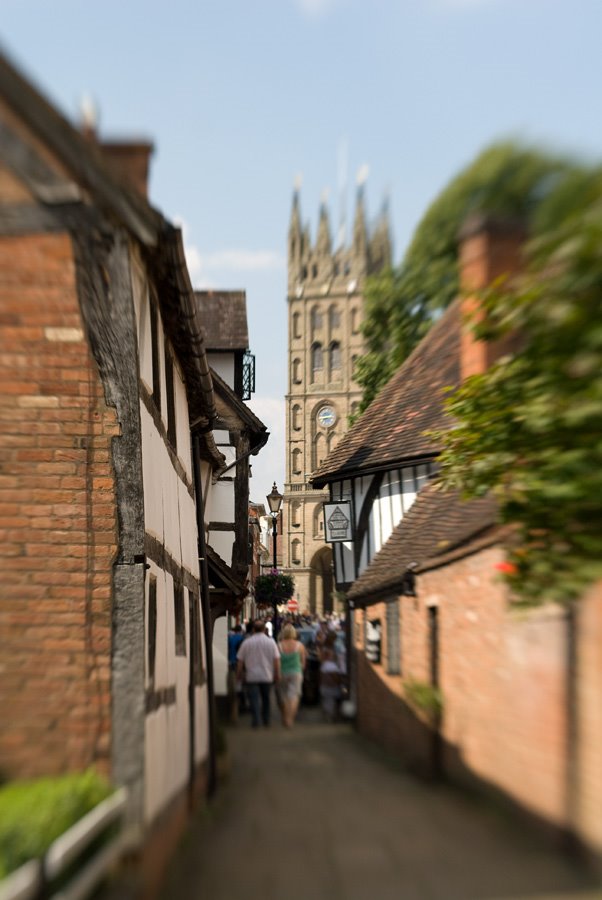
Photos of Warwick
Warwick Weather

Predicción: Overcast clouds
Temperatura: 9.4°
Humedad: 60%
Hora actual: 10:52 AM
Amanece: 05:59 AM
Anochece: 08:11 PM


