Distance between  Winsford and
  Steyning
184.62 mi Straight Distance
230.89 mi Driving Distance
3 hours 39 mins Estimated Driving Time
The straight distance between Winsford (England) and Steyning (England) is 184.62 mi, but the driving distance is 230.89 mi.
It takes to go from Winsford to Steyning.
Driving directions from Winsford to Steyning
Distance in kilometers
Straight distance: 297.05 km. Route distance: 371.51 km
Winsford, United Kingdom
Latitude: 53.1943 // Longitude: -2.51967
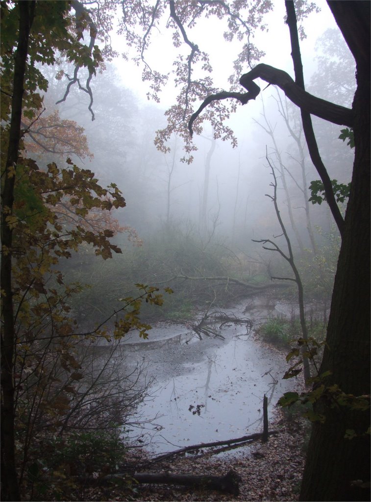
Photos of Winsford
Winsford Weather

Predicción: Light rain
Temperatura: 10.0°
Humedad: 74%
Hora actual: 03:37 PM
Amanece: 06:01 AM
Anochece: 08:16 PM
Steyning, United Kingdom
Latitude: 50.8874 // Longitude: -0.326676
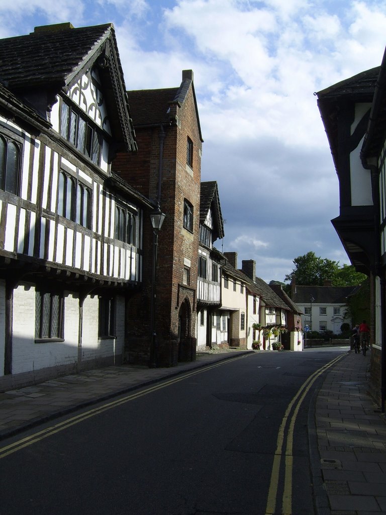
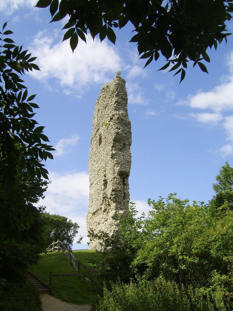
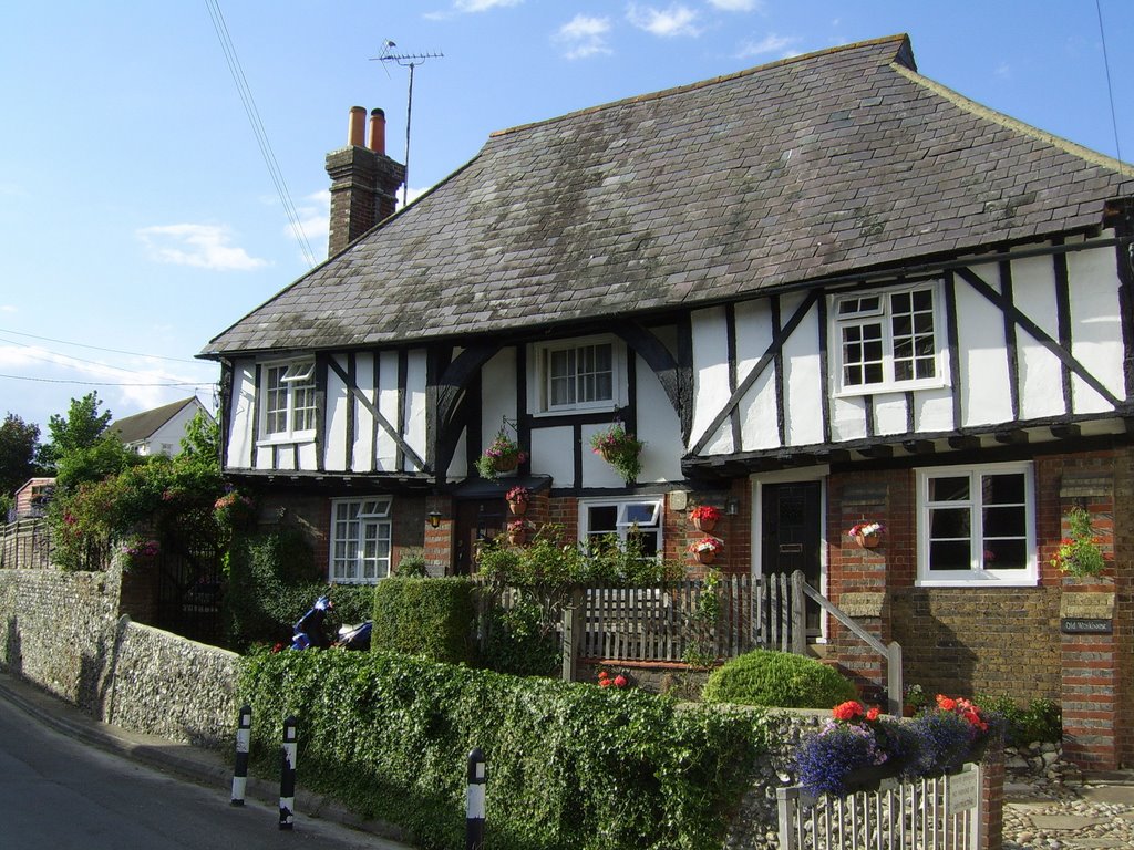
Photos of Steyning
Steyning Weather

Predicción: Broken clouds
Temperatura: 13.0°
Humedad: 57%
Hora actual: 03:37 PM
Amanece: 05:58 AM
Anochece: 08:02 PM


