Distance between  Whitehead and
  Mullaghglass
19.69 mi Straight Distance
24.19 mi Driving Distance
32 minutes Estimated Driving Time
The straight distance between Whitehead (Northern Ireland) and Mullaghglass (Northern Ireland) is 19.69 mi, but the driving distance is 24.19 mi.
It takes to go from Whitehead to Mullaghglass.
Driving directions from Whitehead to Mullaghglass
Distance in kilometers
Straight distance: 31.68 km. Route distance: 38.93 km
Whitehead, United Kingdom
Latitude: 54.7537 // Longitude: -5.71873
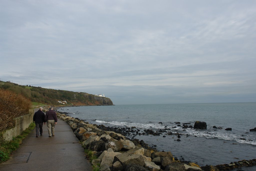
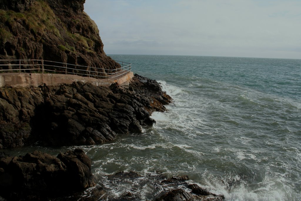
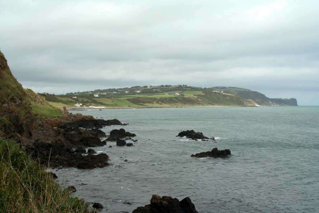
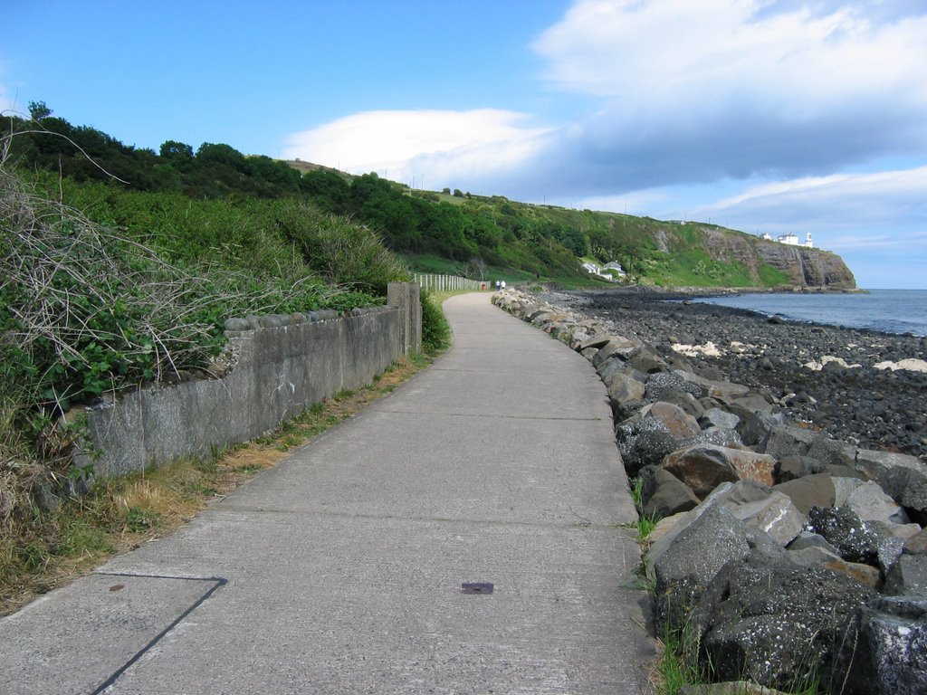
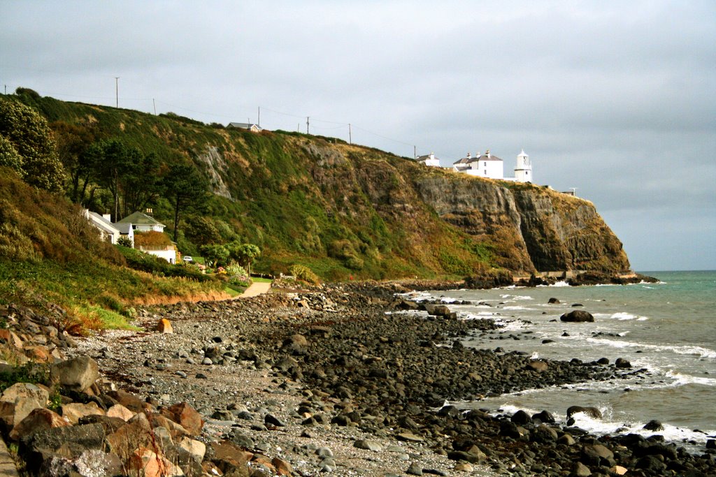
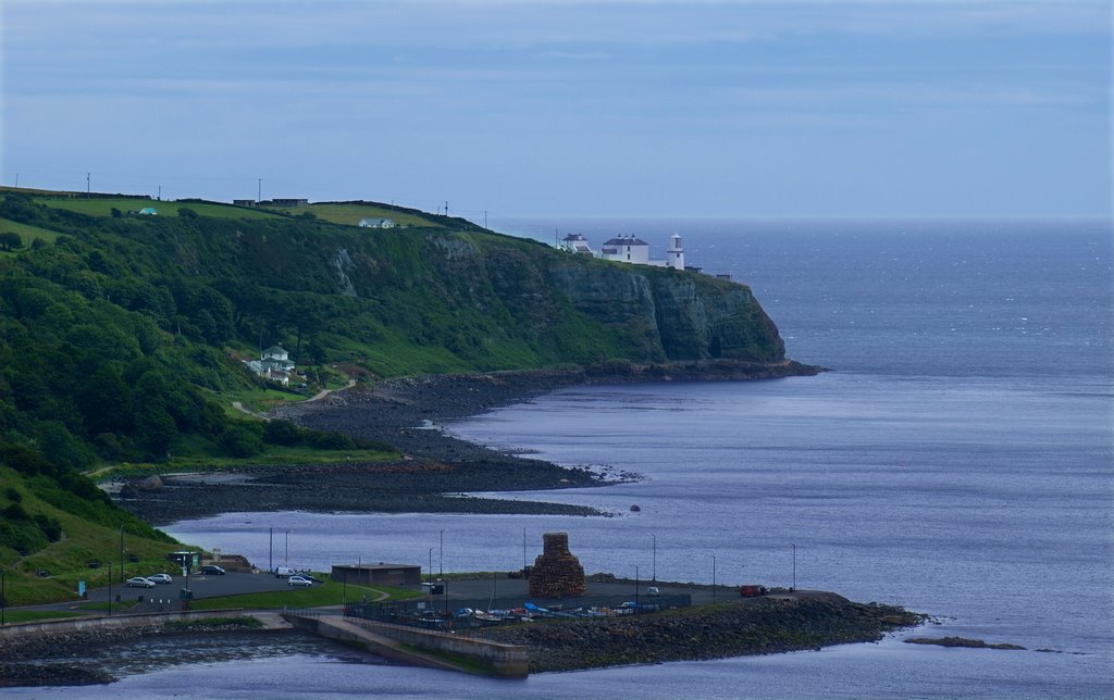
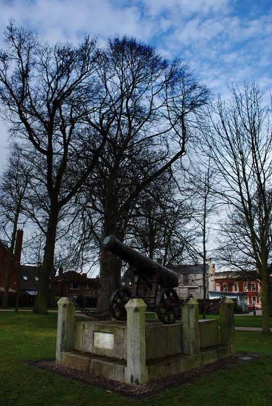
Photos of Whitehead
Whitehead Weather

Predicción: Broken clouds
Temperatura: 9.4°
Humedad: 93%
Hora actual: 11:41 PM
Amanece: 06:10 AM
Anochece: 08:33 PM
Mullaghglass, United Kingdom
Latitude: 54.553 // Longitude: -6.06845
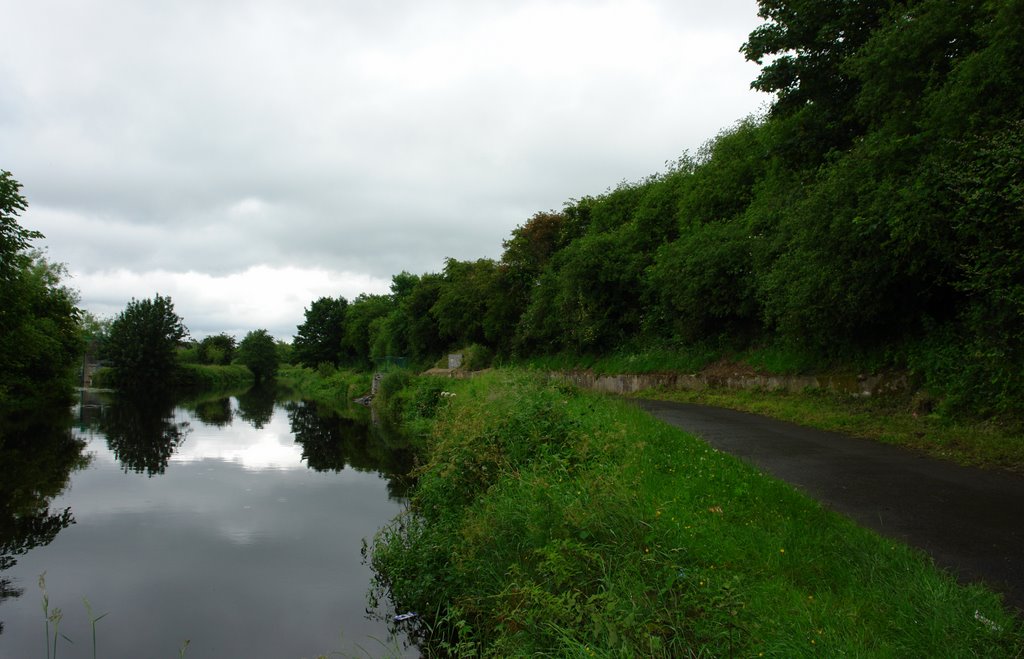
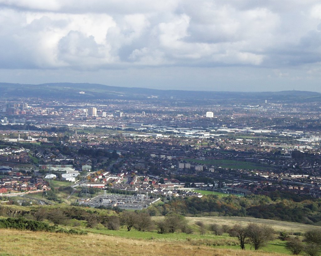
Photos of Mullaghglass
Mullaghglass Weather

Predicción: Broken clouds
Temperatura: 8.4°
Humedad: 93%
Hora actual: 11:41 PM
Amanece: 06:12 AM
Anochece: 08:34 PM


