Distance between  West Malling and
  Wembley
35.47 mi Straight Distance
42.13 mi Driving Distance
1 hour 6 mins Estimated Driving Time
The straight distance between West Malling (England) and Wembley (England) is 35.47 mi, but the driving distance is 42.13 mi.
It takes 1 hour 17 mins to go from West Malling to Wembley.
Driving directions from West Malling to Wembley
Distance in kilometers
Straight distance: 57.08 km. Route distance: 67.79 km
West Malling, United Kingdom
Latitude: 51.2944 // Longitude: 0.408784
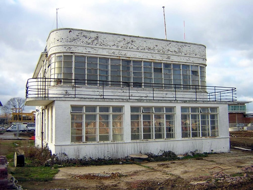
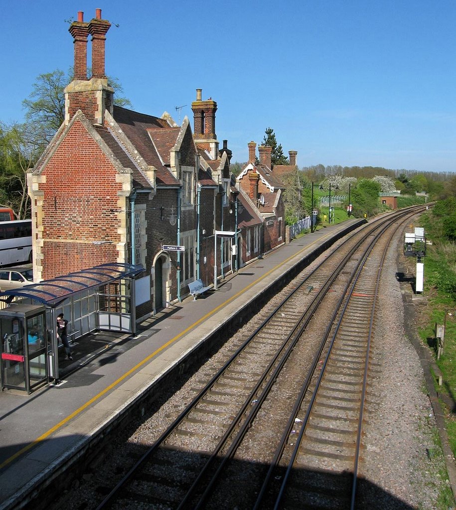
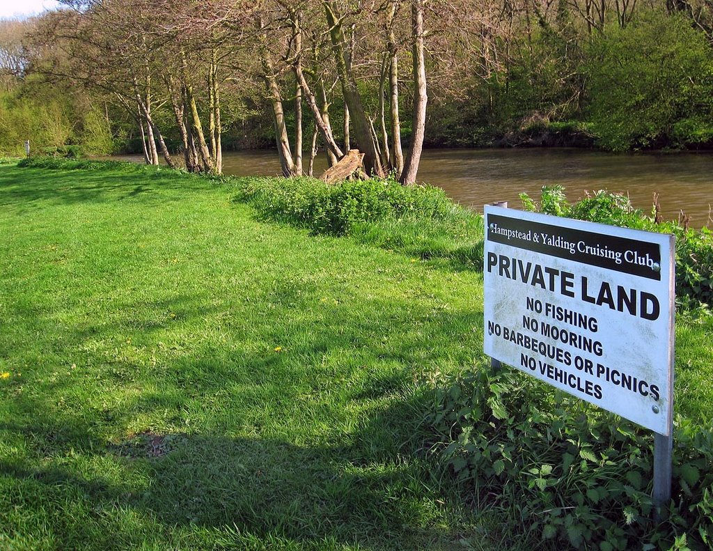
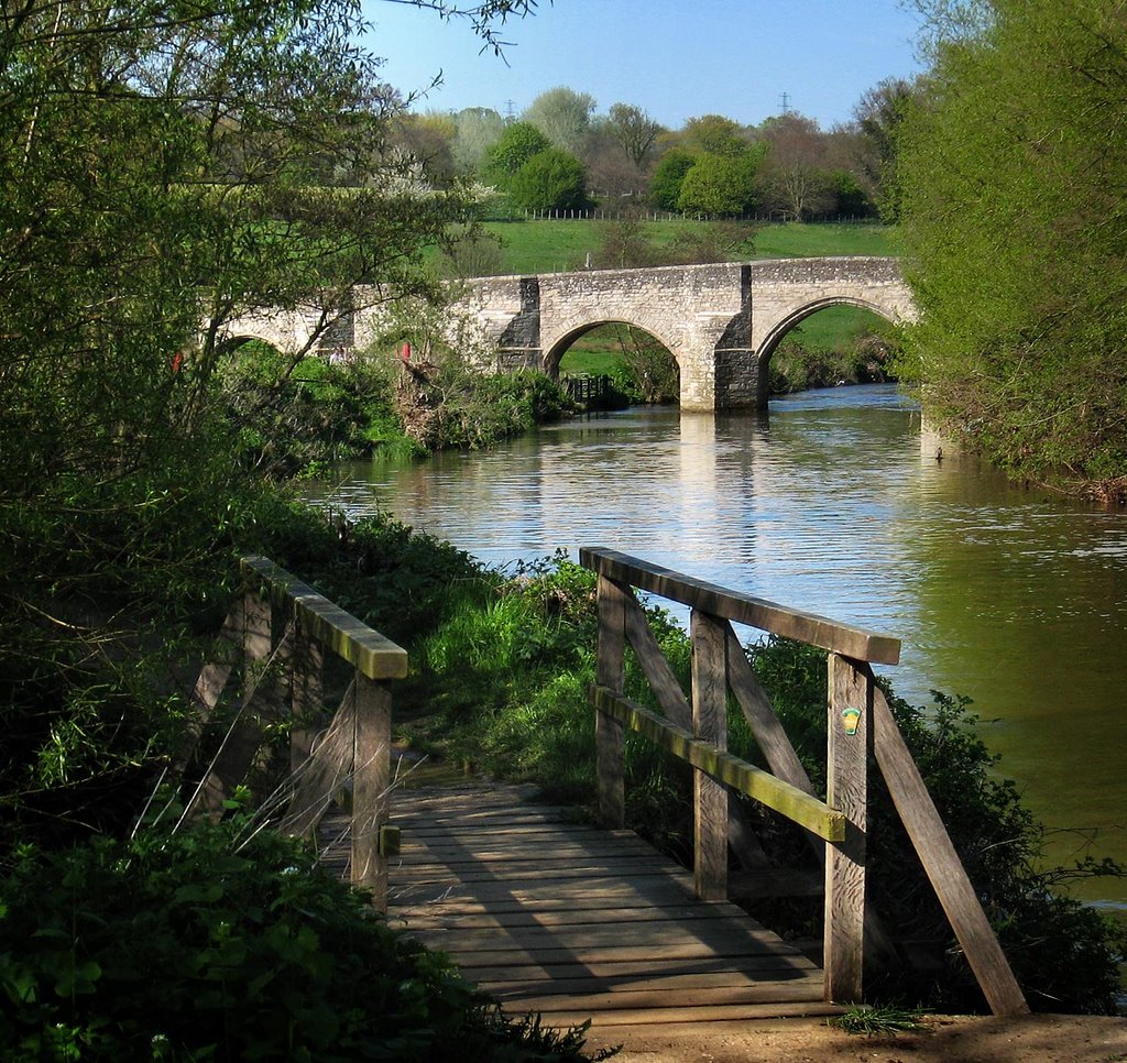
Photos of West Malling
West Malling Weather

Predicción: Few clouds
Temperatura: 5.7°
Humedad: 83%
Hora actual: 02:59 AM
Amanece: 05:54 AM
Anochece: 08:00 PM
Wembley, United Kingdom
Latitude: 51.5505 // Longitude: -0.304841
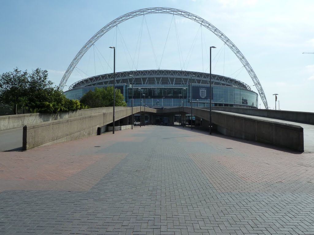
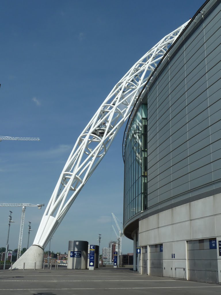
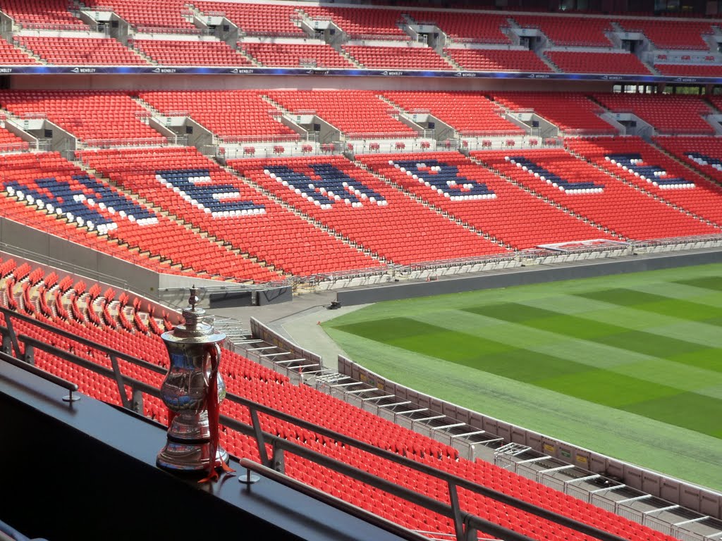
Photos of Wembley
Wembley Weather

Predicción: Broken clouds
Temperatura: 6.0°
Humedad: 86%
Hora actual: 02:59 AM
Amanece: 05:56 AM
Anochece: 08:04 PM


