Distance between  Watford and
  Tadcaster
158.12 mi Straight Distance
183.21 mi Driving Distance
2 hours 49 mins Estimated Driving Time
The straight distance between Watford (England) and Tadcaster (England) is 158.12 mi, but the driving distance is 183.21 mi.
It takes 2 hours 58 mins to go from Watford to Tadcaster.
Driving directions from Watford to Tadcaster
Distance in kilometers
Straight distance: 254.41 km. Route distance: 294.78 km
Watford, United Kingdom
Latitude: 51.6565 // Longitude: -0.39032
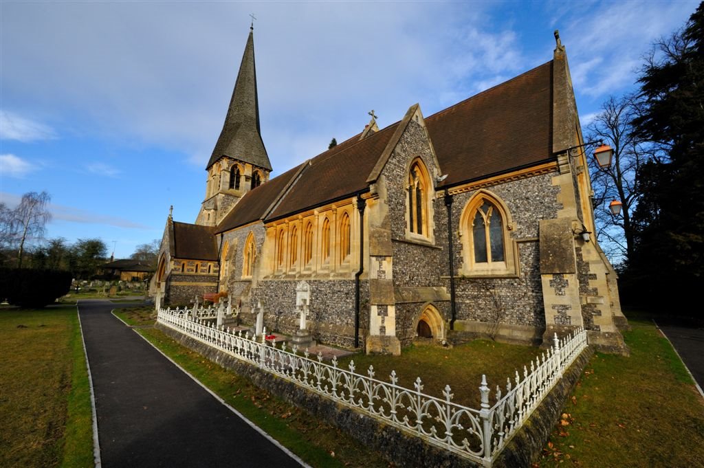
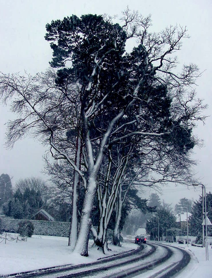
Photos of Watford
Watford Weather

Predicción: Few clouds
Temperatura: 7.9°
Humedad: 79%
Hora actual: 09:11 AM
Amanece: 05:56 AM
Anochece: 08:04 PM
Tadcaster, United Kingdom
Latitude: 53.8836 // Longitude: -1.26089
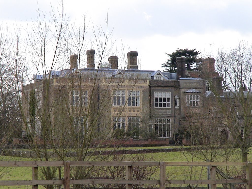
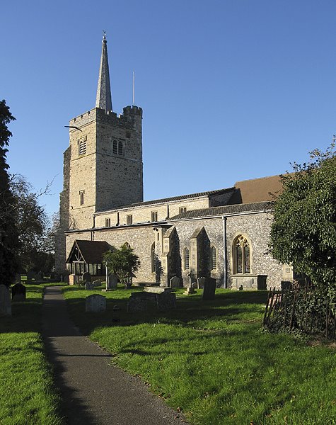
Photos of Tadcaster
Tadcaster Weather

Predicción: Overcast clouds
Temperatura: 6.5°
Humedad: 75%
Hora actual: 09:11 AM
Amanece: 05:54 AM
Anochece: 08:13 PM


