Distance between  Walton-on-Thames and
  Wallingford
34.04 mi Straight Distance
43.64 mi Driving Distance
52 minutes Estimated Driving Time
The straight distance between Walton-on-Thames (England) and Wallingford (England) is 34.04 mi, but the driving distance is 43.64 mi.
It takes to go from Walton-on-Thames to Wallingford.
Driving directions from Walton-on-Thames to Wallingford
Distance in kilometers
Straight distance: 54.77 km. Route distance: 70.22 km
Walton-on-Thames, United Kingdom
Latitude: 51.3885 // Longitude: -0.416969
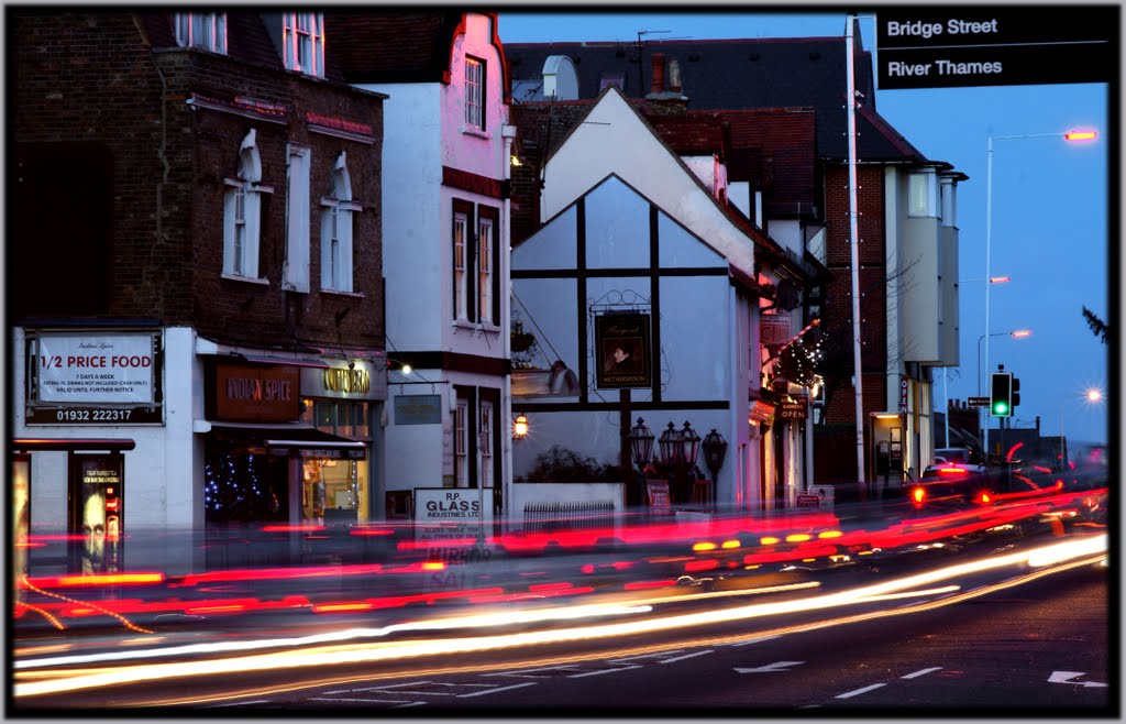
Photos of Walton-on-Thames
Walton-on-Thames Weather

Predicción: Scattered clouds
Temperatura: 4.5°
Humedad: 89%
Hora actual: 05:51 AM
Amanece: 05:57 AM
Anochece: 08:04 PM
Wallingford, United Kingdom
Latitude: 51.5974 // Longitude: -1.13356
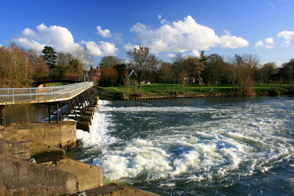
Photos of Wallingford
Wallingford Weather

Predicción: Broken clouds
Temperatura: 3.6°
Humedad: 90%
Hora actual: 05:51 AM
Amanece: 05:59 AM
Anochece: 08:07 PM


