Distance between  Ventnor and
  Tow Law
287.68 mi Straight Distance
331.35 mi Driving Distance
6 hours 9 mins Estimated Driving Time
The straight distance between Ventnor (England) and Tow Law (England) is 287.68 mi, but the driving distance is 331.35 mi.
It takes 7 hours 1 min to go from Ventnor to Tow Law.
Driving directions from Ventnor to Tow Law
Distance in kilometers
Straight distance: 462.87 km. Route distance: 533.14 km
Ventnor, United Kingdom
Latitude: 50.5955 // Longitude: -1.2061
Photos of Ventnor
Ventnor Weather

Predicción: Overcast clouds
Temperatura: 8.9°
Humedad: 84%
Hora actual: 02:39 AM
Amanece: 06:00 AM
Anochece: 08:07 PM
Tow Law, United Kingdom
Latitude: 54.7429 // Longitude: -1.8115
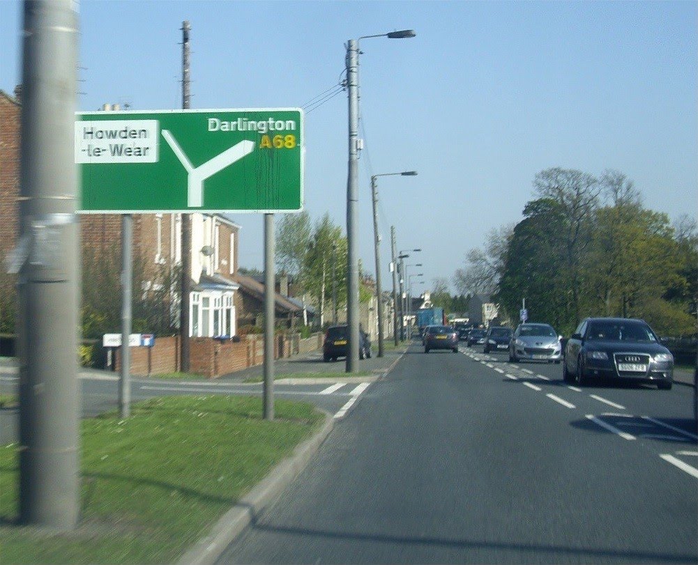
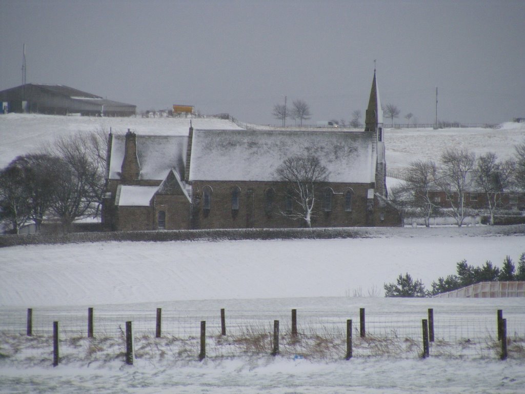
Photos of Tow Law
Tow Law Weather

Predicción: Scattered clouds
Temperatura: 7.5°
Humedad: 75%
Hora actual: 02:39 AM
Amanece: 05:52 AM
Anochece: 08:20 PM


