Distance between  Clady (Co. Tyrone) and
  Drumbo
45.90 mi Straight Distance
55.62 mi Driving Distance
54 minutes Estimated Driving Time
The straight distance between Clady (Co. Tyrone) (Northern Ireland) and Drumbo (Northern Ireland) is 45.90 mi, but the driving distance is 55.62 mi.
It takes 1 hour 11 mins to go from Clady (Co. Tyrone) to Drumbo.
Driving directions from Clady (Co. Tyrone) to Drumbo
Distance in kilometers
Straight distance: 73.86 km. Route distance: 89.49 km
Clady (Co. Tyrone), United Kingdom
Latitude: 54.603 // Longitude: -7.0941
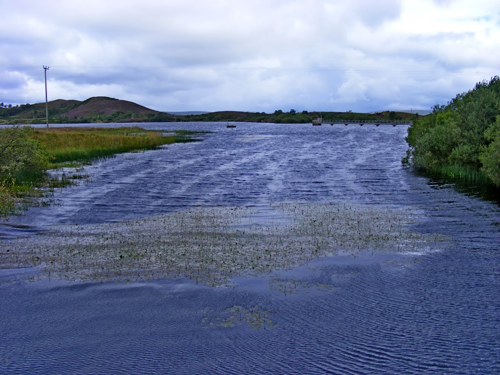
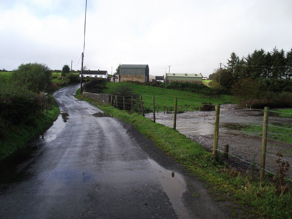
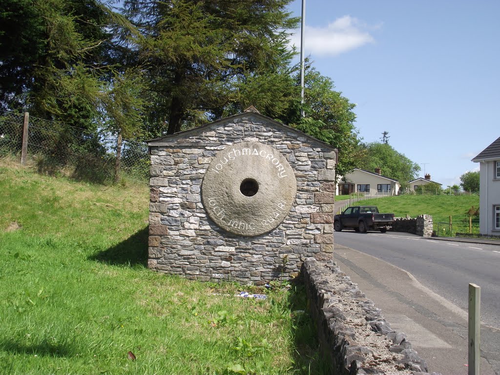
Photos of Clady (Co. Tyrone)
Clady (Co. Tyrone) Weather

Predicción: Light rain
Temperatura: 10.1°
Humedad: 71%
Hora actual: 12:00 AM
Amanece: 05:20 AM
Anochece: 07:35 PM
Drumbo, United Kingdom
Latitude: 54.5163 // Longitude: -5.95813
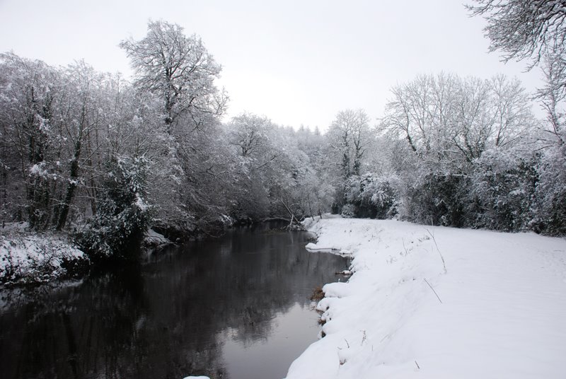
Photos of Drumbo
Drumbo Weather

Predicción: Few clouds
Temperatura: 9.3°
Humedad: 57%
Hora actual: 10:43 AM
Amanece: 06:16 AM
Anochece: 08:30 PM


