Distance between  Troon and
  Burntisland
65.92 mi Straight Distance
83.26 mi Driving Distance
1 hour 28 mins Estimated Driving Time
The straight distance between Troon (Scotland) and Burntisland (Scotland) is 65.92 mi, but the driving distance is 83.26 mi.
It takes 1 hour 41 mins to go from Troon to Burntisland.
Driving directions from Troon to Burntisland
Distance in kilometers
Straight distance: 106.06 km. Route distance: 133.97 km
Troon, United Kingdom
Latitude: 55.5413 // Longitude: -4.65995
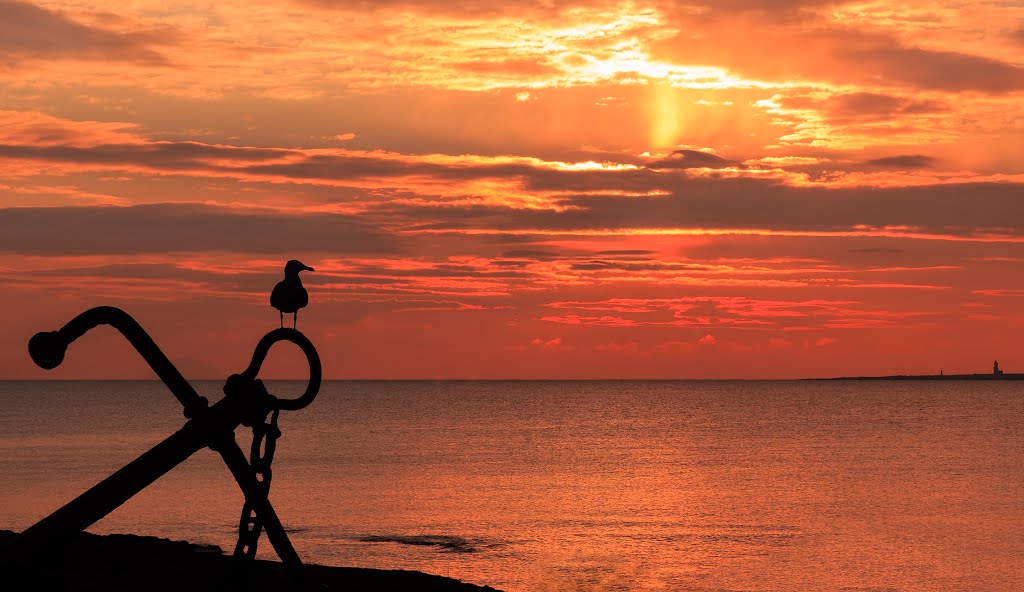
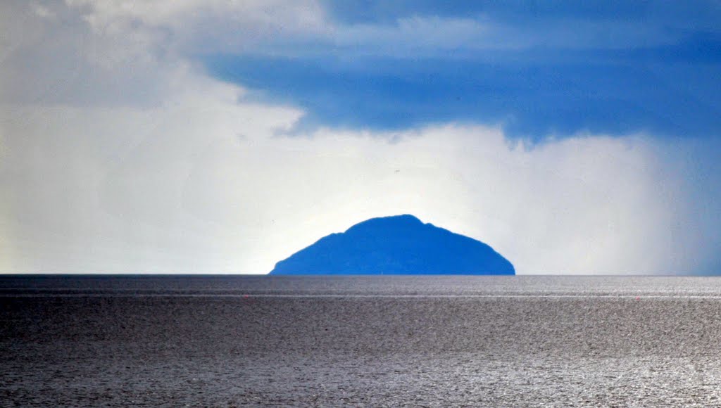
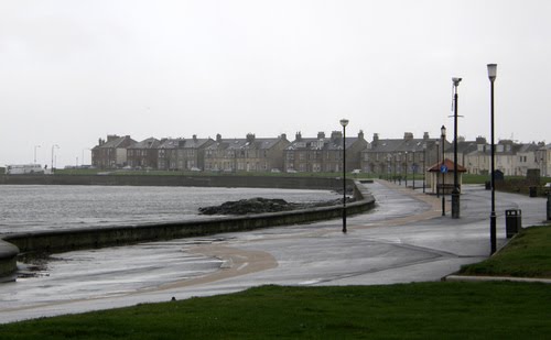
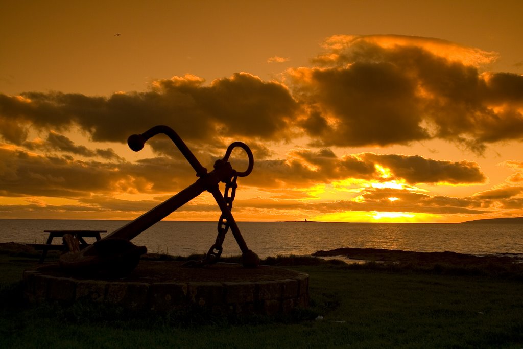
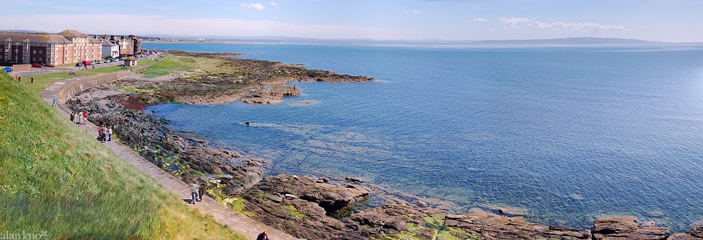
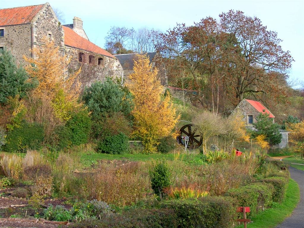
Photos of Troon
Troon Weather

Predicción: Scattered clouds
Temperatura: 11.1°
Humedad: 66%
Hora actual: 01:14 PM
Amanece: 06:08 AM
Anochece: 08:27 PM
Burntisland, United Kingdom
Latitude: 56.0588 // Longitude: -3.23392
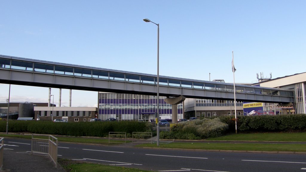
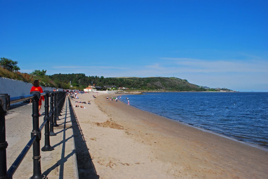
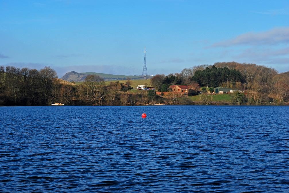
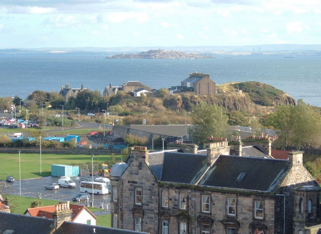
Photos of Burntisland
Burntisland Weather

Predicción: Scattered clouds
Temperatura: 11.1°
Humedad: 49%
Hora actual: 01:14 PM
Amanece: 06:01 AM
Anochece: 08:23 PM


