Distance between  Totton and Eling and
  Rothbury
304.24 mi Straight Distance
355.81 mi Driving Distance
5 hours 26 mins Estimated Driving Time
The straight distance between Totton and Eling (England) and Rothbury (England) is 304.24 mi, but the driving distance is 355.81 mi.
It takes to go from Totton and Eling to Rothbury.
Driving directions from Totton and Eling to Rothbury
Distance in kilometers
Straight distance: 489.52 km. Route distance: 572.50 km
Totton and Eling, United Kingdom
Latitude: 50.9141 // Longitude: -1.49859
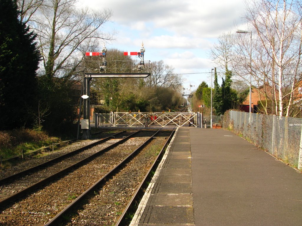
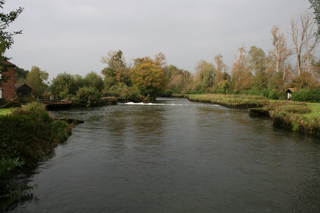
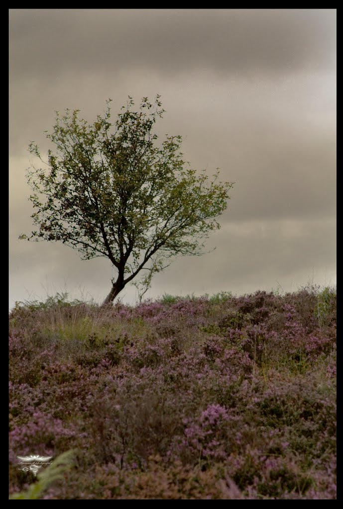
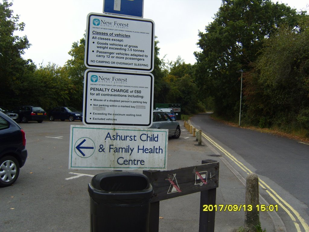
Photos of Totton and Eling
Totton and Eling Weather

Predicción: Clear sky
Temperatura: 5.7°
Humedad: 78%
Hora actual: 01:07 AM
Amanece: 06:02 AM
Anochece: 08:07 PM
Rothbury, United Kingdom
Latitude: 55.3105 // Longitude: -1.90955
Photos of Rothbury
Rothbury Weather

Predicción: Clear sky
Temperatura: 1.7°
Humedad: 90%
Hora actual: 01:07 AM
Amanece: 05:53 AM
Anochece: 08:20 PM


