Distance between  Thaxted and
  Skelmersdale
170.90 mi Straight Distance
213.69 mi Driving Distance
3 hours 24 mins Estimated Driving Time
The straight distance between Thaxted (England) and Skelmersdale (England) is 170.90 mi, but the driving distance is 213.69 mi.
It takes to go from Thaxted to Skelmersdale.
Driving directions from Thaxted to Skelmersdale
Distance in kilometers
Straight distance: 274.98 km. Route distance: 343.83 km
Thaxted, United Kingdom
Latitude: 51.9531 // Longitude: 0.344673
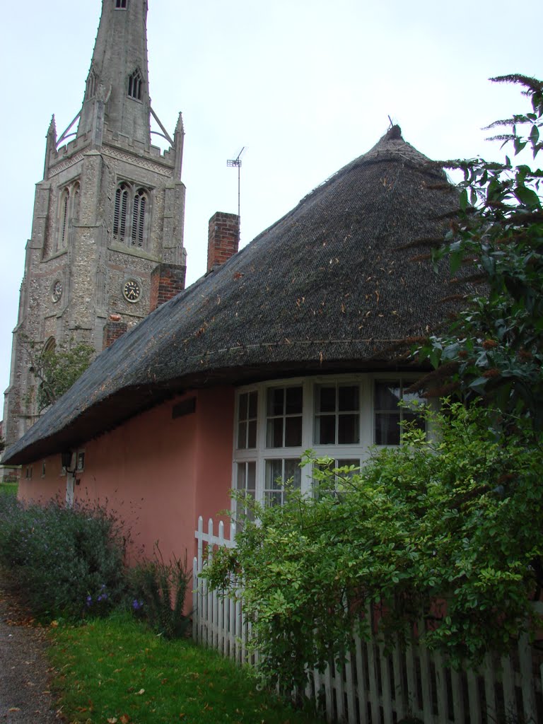
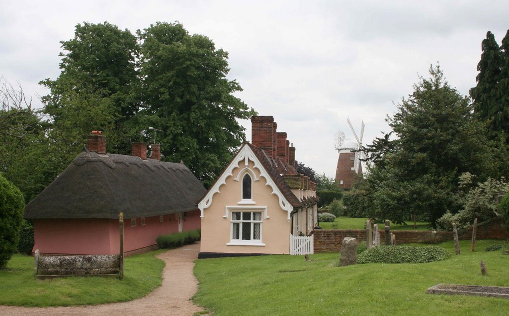
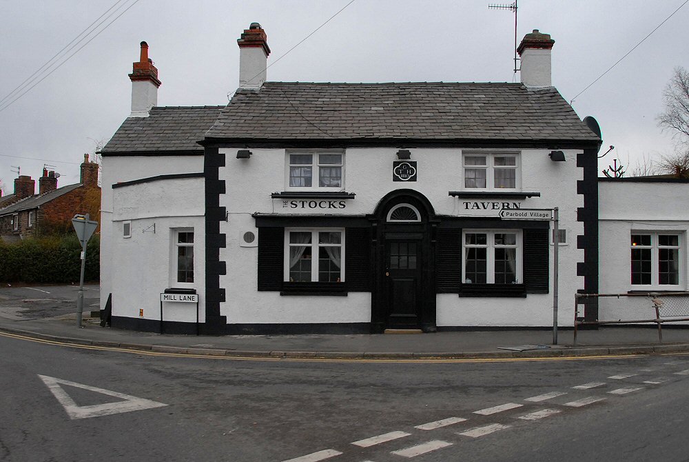
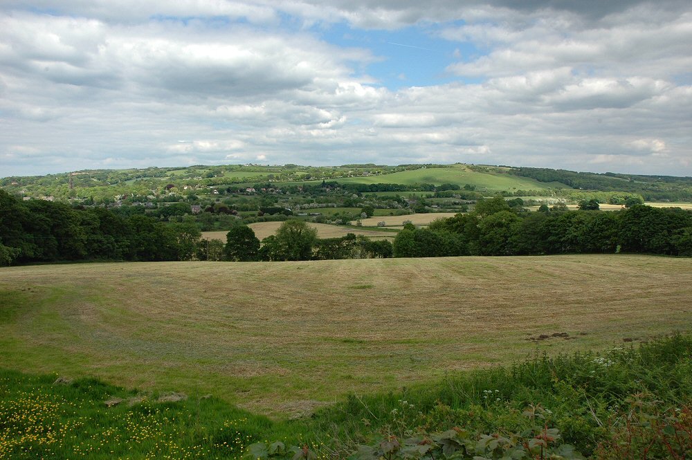
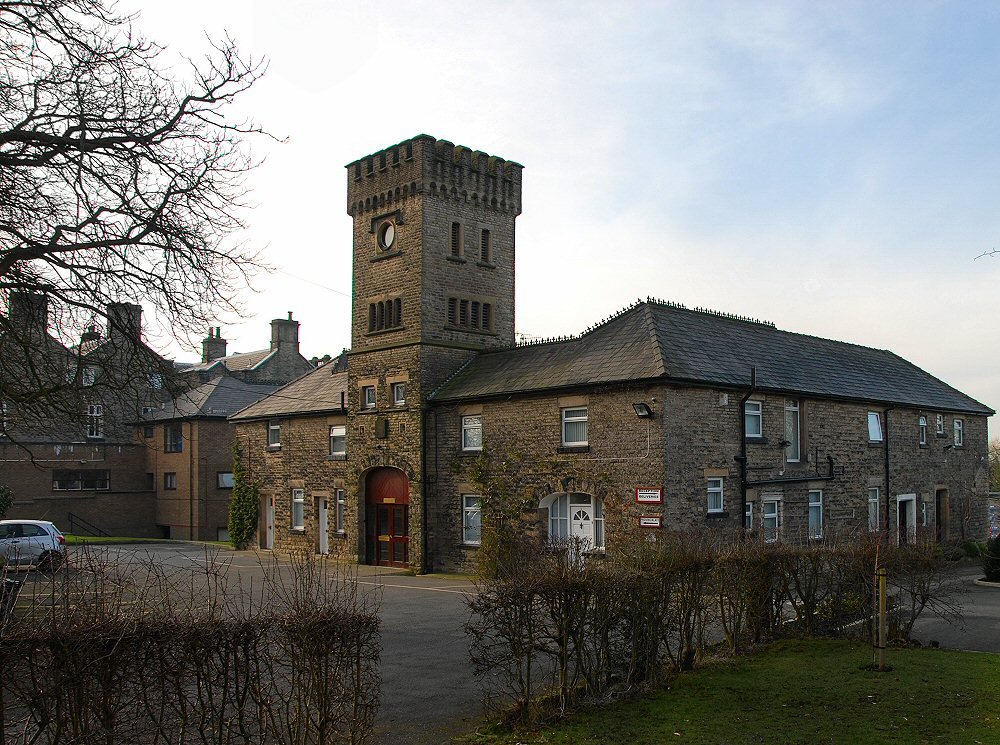
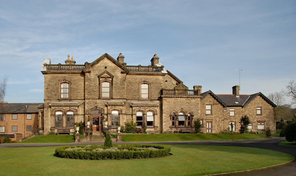
Photos of Thaxted
Thaxted Weather

Predicción: Overcast clouds
Temperatura: 12.3°
Humedad: 47%
Hora actual: 02:15 PM
Amanece: 05:52 AM
Anochece: 08:02 PM
Skelmersdale, United Kingdom
Latitude: 53.5504 // Longitude: -2.77637
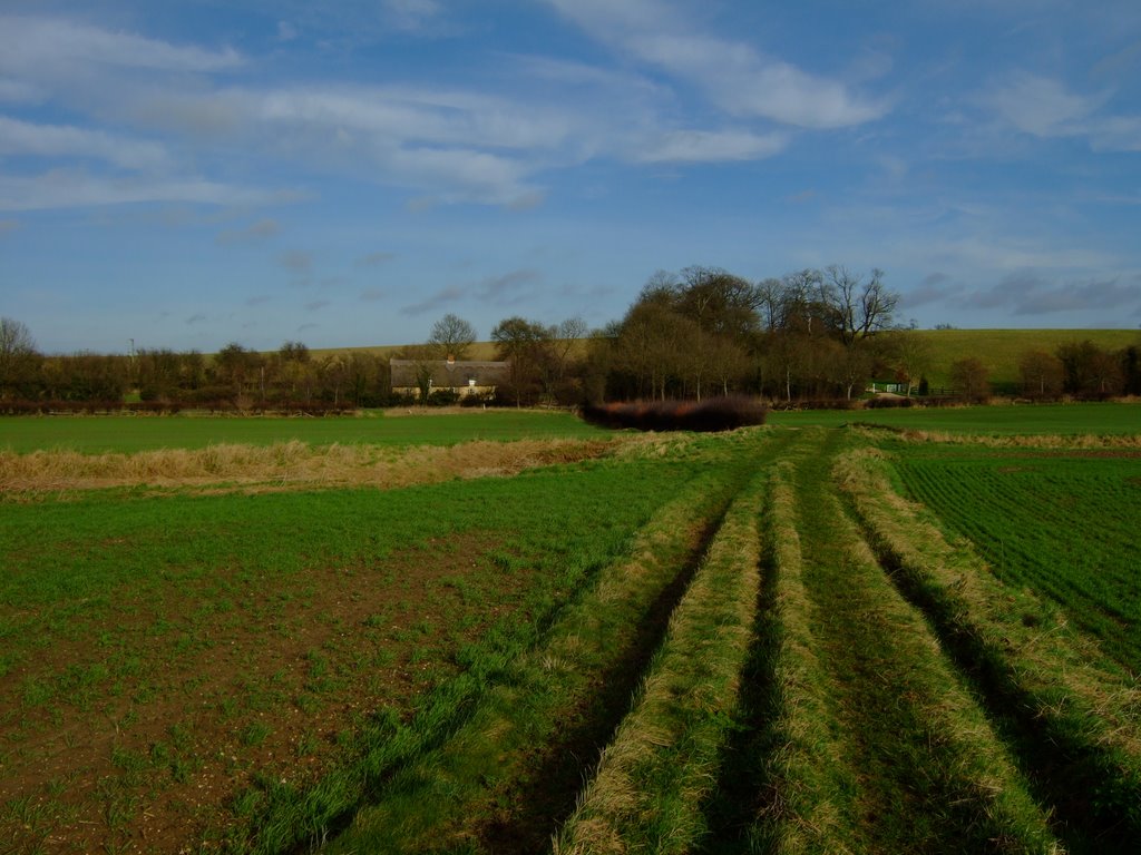
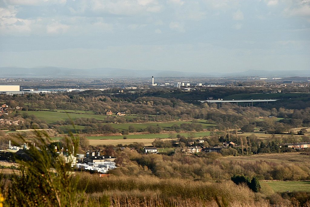
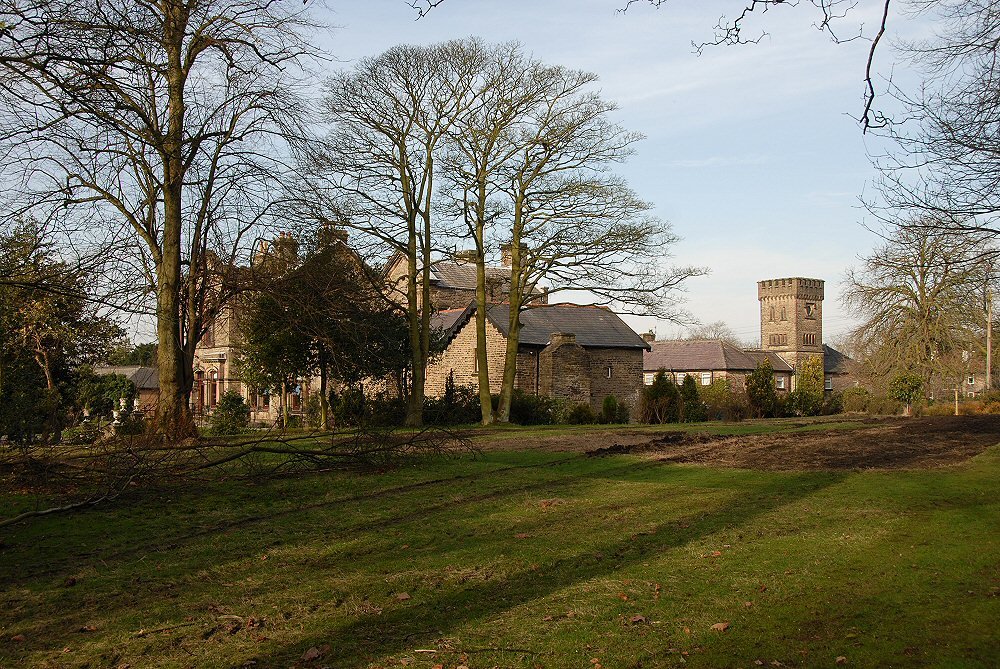
Photos of Skelmersdale
Skelmersdale Weather

Predicción: Light rain
Temperatura: 10.3°
Humedad: 64%
Hora actual: 02:15 PM
Amanece: 06:01 AM
Anochece: 08:18 PM


