Distance between  Surbiton and
  Spilsby
124.16 mi Straight Distance
147.88 mi Driving Distance
2 hours 47 mins Estimated Driving Time
The straight distance between Surbiton (England) and Spilsby (England) is 124.16 mi, but the driving distance is 147.88 mi.
It takes to go from Surbiton to Spilsby.
Driving directions from Surbiton to Spilsby
Distance in kilometers
Straight distance: 199.77 km. Route distance: 237.94 km
Surbiton, United Kingdom
Latitude: 51.394 // Longitude: -0.302662
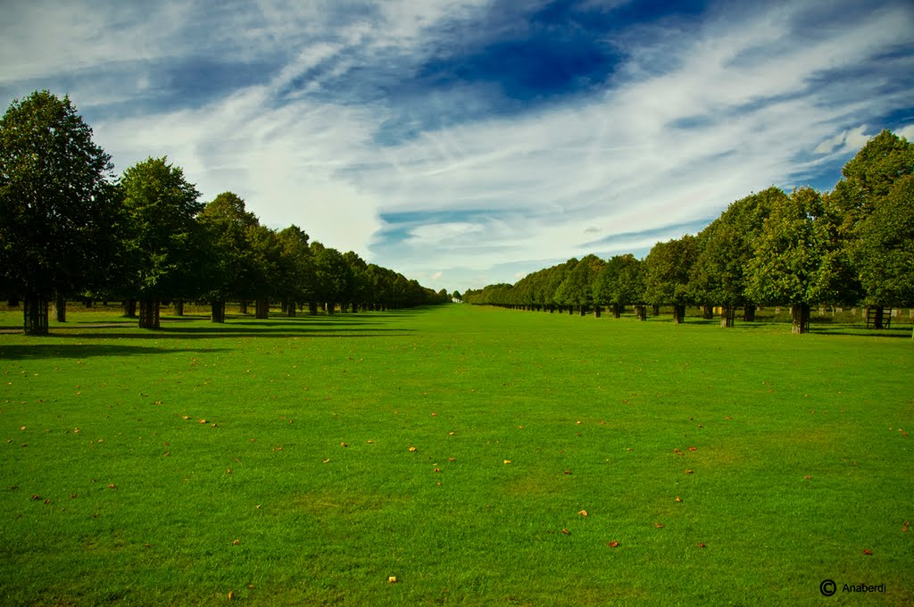
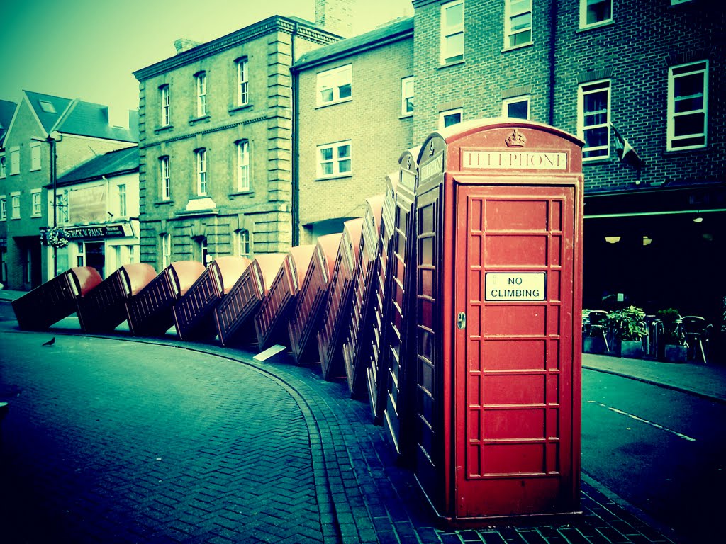
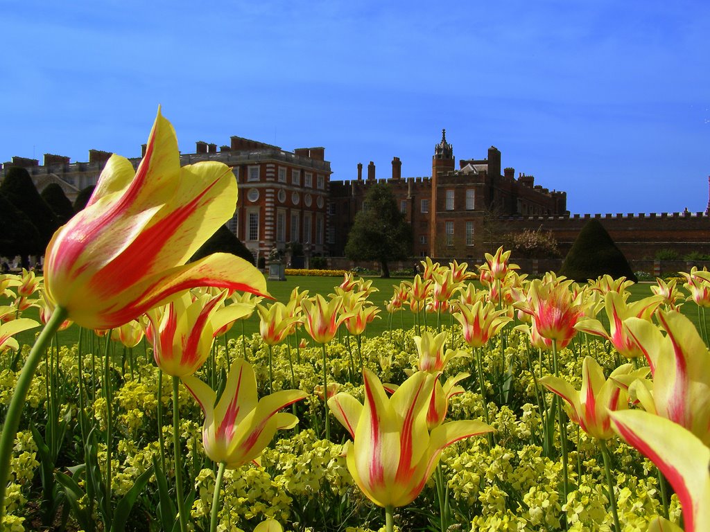
Photos of Surbiton
Surbiton Weather

Predicción: Broken clouds
Temperatura: 8.1°
Humedad: 90%
Hora actual: 01:28 AM
Amanece: 05:54 AM
Anochece: 08:05 PM
Spilsby, United Kingdom
Latitude: 53.1747 // Longitude: 0.0914399
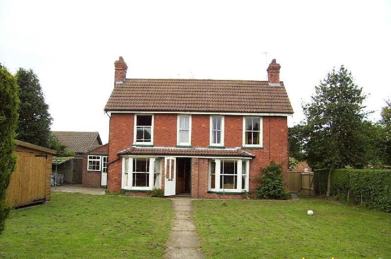
Photos of Spilsby
Spilsby Weather

Predicción: Overcast clouds
Temperatura: 9.5°
Humedad: 87%
Hora actual: 01:28 AM
Amanece: 05:48 AM
Anochece: 08:08 PM






![LINCOLNSHIRE CHURCHES (23): Partney [UK] LINCOLNSHIRE CHURCHES (23): Partney [UK]](/photos/52725544.jpg)


