Distance between  Sturminster Newton and
  Sleaford
164.51 mi Straight Distance
204.02 mi Driving Distance
3 hours 32 mins Estimated Driving Time
The straight distance between Sturminster Newton (England) and Sleaford (England) is 164.51 mi, but the driving distance is 204.02 mi.
It takes 4 hours 10 mins to go from Sturminster Newton to Sleaford.
Driving directions from Sturminster Newton to Sleaford
Distance in kilometers
Straight distance: 264.69 km. Route distance: 328.27 km
Sturminster Newton, United Kingdom
Latitude: 50.9251 // Longitude: -2.30464
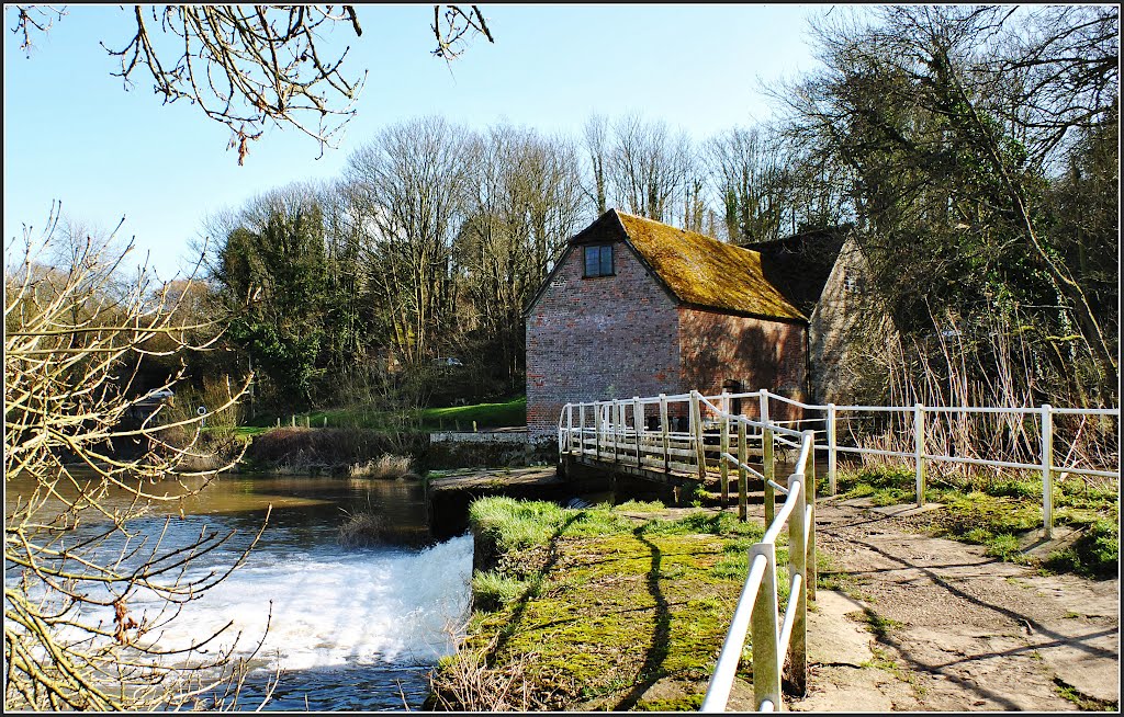
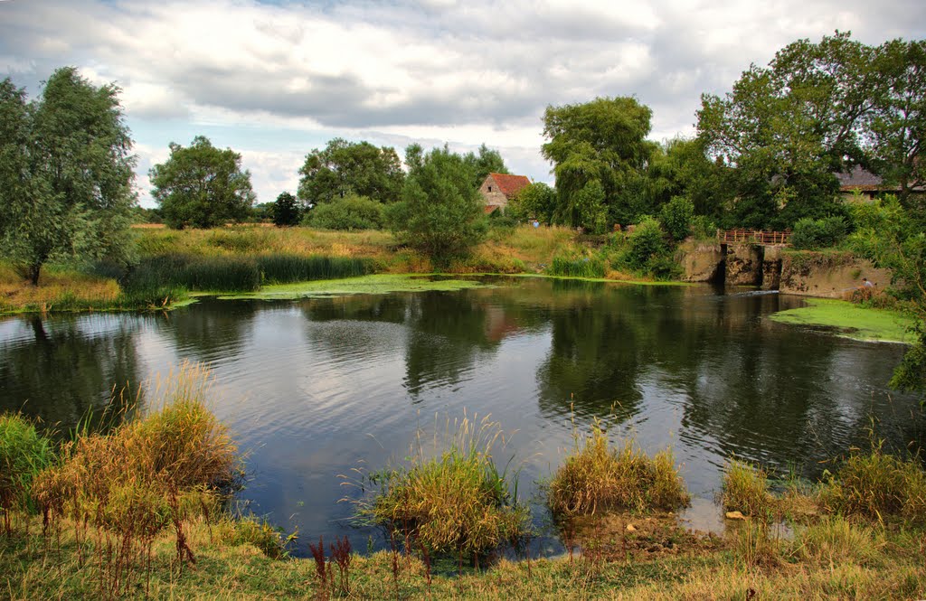
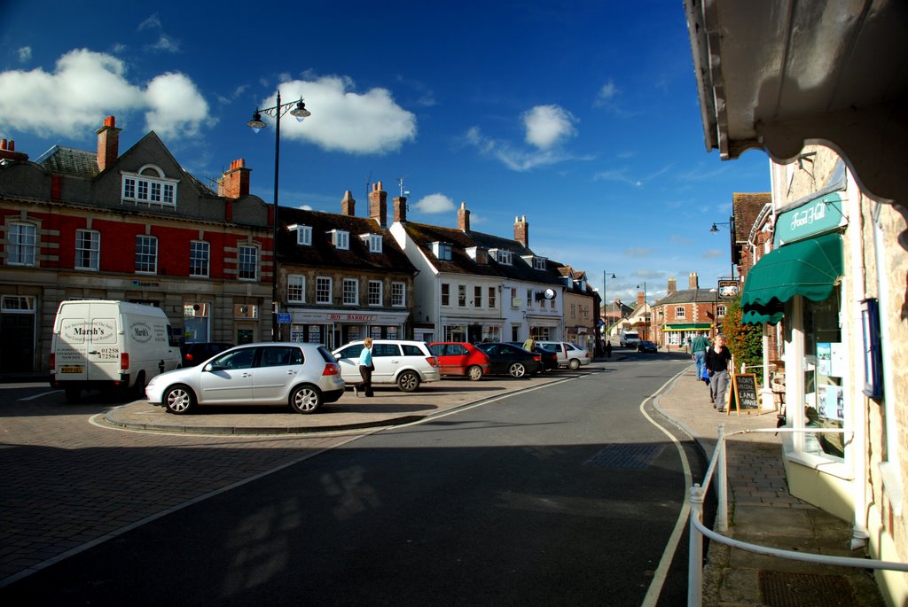
Photos of Sturminster Newton
Sturminster Newton Weather

Predicción: Broken clouds
Temperatura: 8.3°
Humedad: 79%
Hora actual: 06:22 AM
Amanece: 06:10 AM
Anochece: 08:07 PM
Sleaford, United Kingdom
Latitude: 53.0003 // Longitude: -0.40965
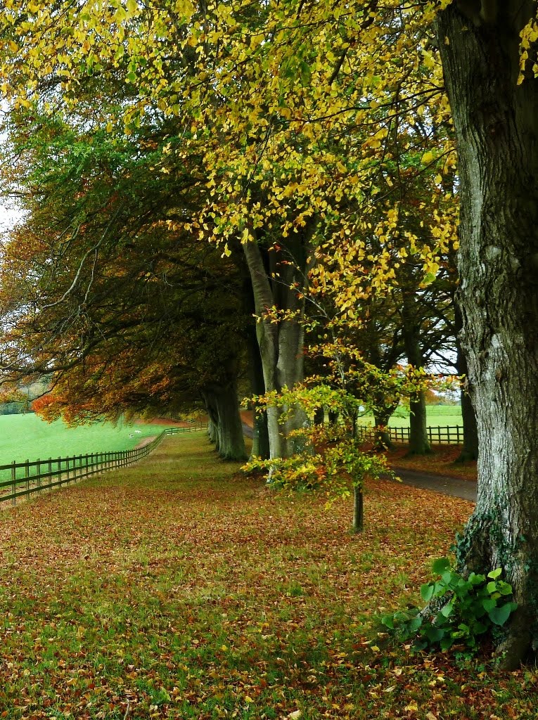
Photos of Sleaford
Sleaford Weather

Predicción: Few clouds
Temperatura: 6.4°
Humedad: 82%
Hora actual: 06:22 AM
Amanece: 05:57 AM
Anochece: 08:04 PM


