Distance between  Strangford and
  Maydown
81.37 mi Straight Distance
103.30 mi Driving Distance
1 hour 54 mins Estimated Driving Time
The straight distance between Strangford (Northern Ireland) and Maydown (Northern Ireland) is 81.37 mi, but the driving distance is 103.30 mi.
It takes 2 hours 16 mins to go from Strangford to Maydown.
Driving directions from Strangford to Maydown
Distance in kilometers
Straight distance: 130.92 km. Route distance: 166.20 km
Strangford, United Kingdom
Latitude: 54.3698 // Longitude: -5.55569
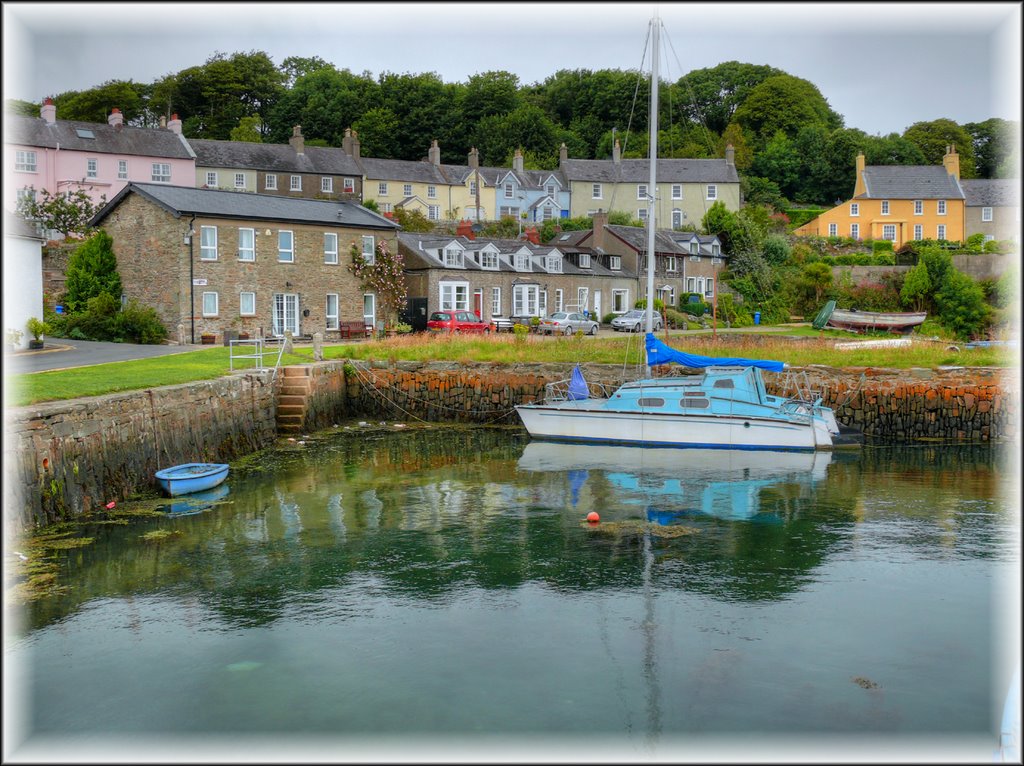
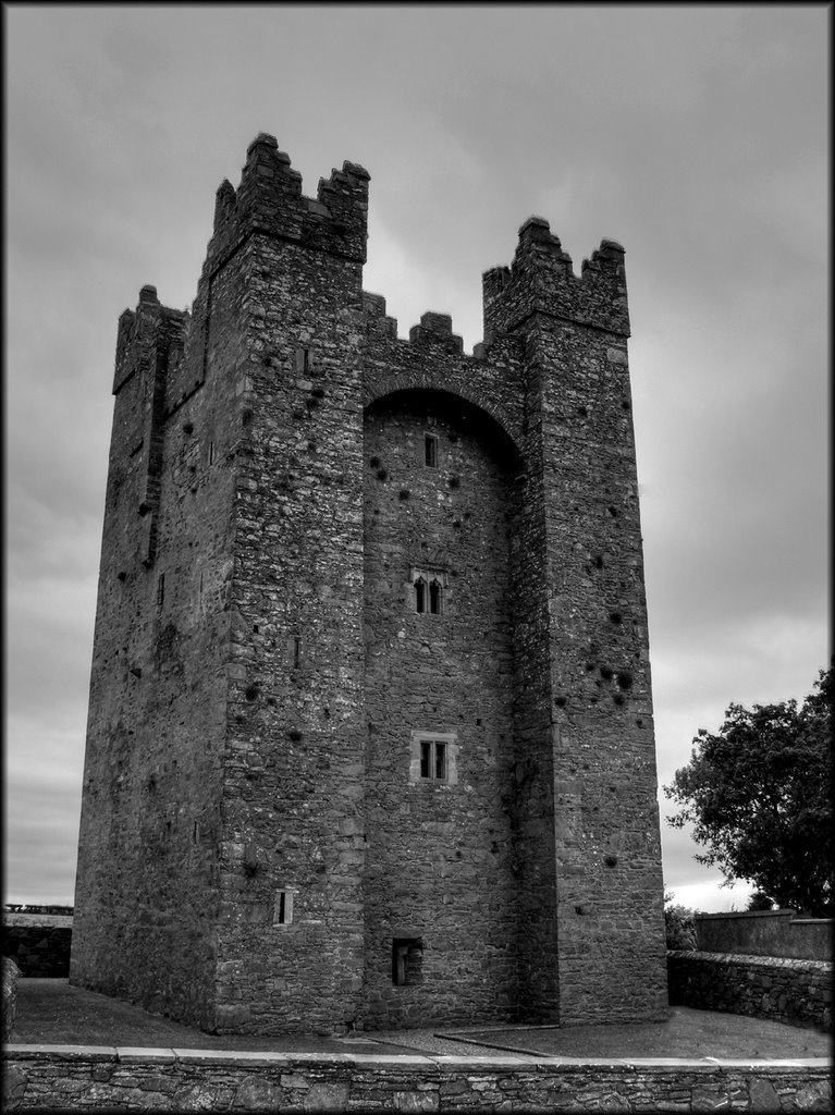
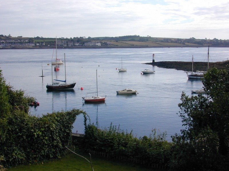
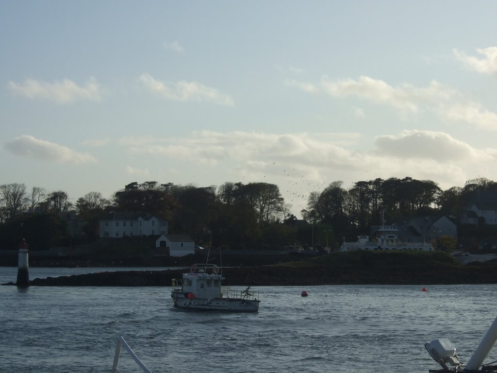
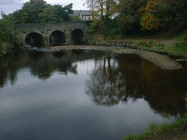
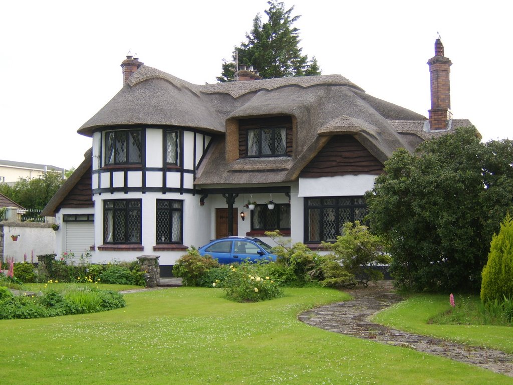
Photos of Strangford
Strangford Weather

Predicción: Overcast clouds
Temperatura: 8.0°
Humedad: 79%
Hora actual: 10:48 AM
Amanece: 06:10 AM
Anochece: 08:32 PM
Maydown, United Kingdom
Latitude: 55.0293 // Longitude: -7.24421
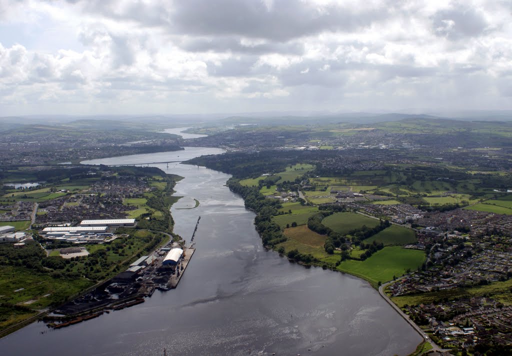
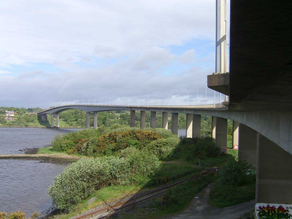
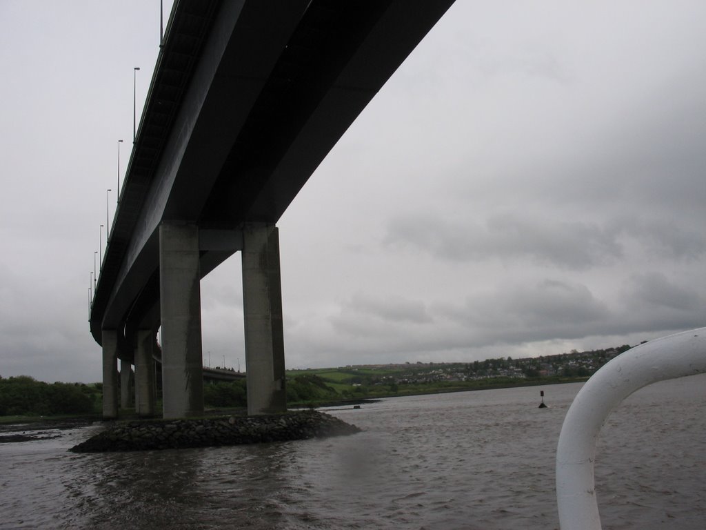
Photos of Maydown
Maydown Weather

Predicción: Light rain
Temperatura: 9.9°
Humedad: 87%
Hora actual: 10:48 AM
Amanece: 06:15 AM
Anochece: 08:40 PM


