Distance between  Stow-on-the-Wold and
  Solihull
33.26 mi Straight Distance
41.32 mi Driving Distance
45 minutes Estimated Driving Time
The straight distance between Stow-on-the-Wold (England) and Solihull (England) is 33.26 mi, but the driving distance is 41.32 mi.
It takes to go from Stow-on-the-Wold to Solihull.
Driving directions from Stow-on-the-Wold to Solihull
Distance in kilometers
Straight distance: 53.52 km. Route distance: 66.49 km
Stow-on-the-Wold, United Kingdom
Latitude: 51.9314 // Longitude: -1.72644
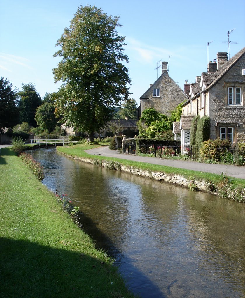
Photos of Stow-on-the-Wold
Stow-on-the-Wold Weather

Predicción: Overcast clouds
Temperatura: 8.9°
Humedad: 86%
Hora actual: 03:05 AM
Amanece: 05:59 AM
Anochece: 08:12 PM
Solihull, United Kingdom
Latitude: 52.4118 // Longitude: -1.77761
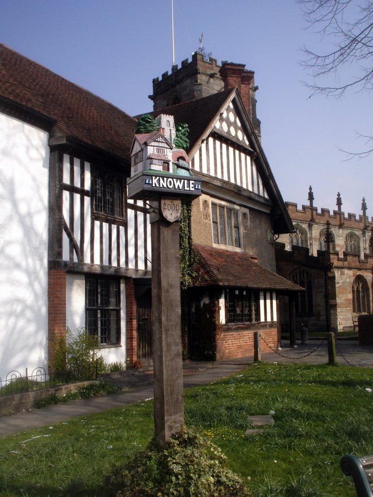
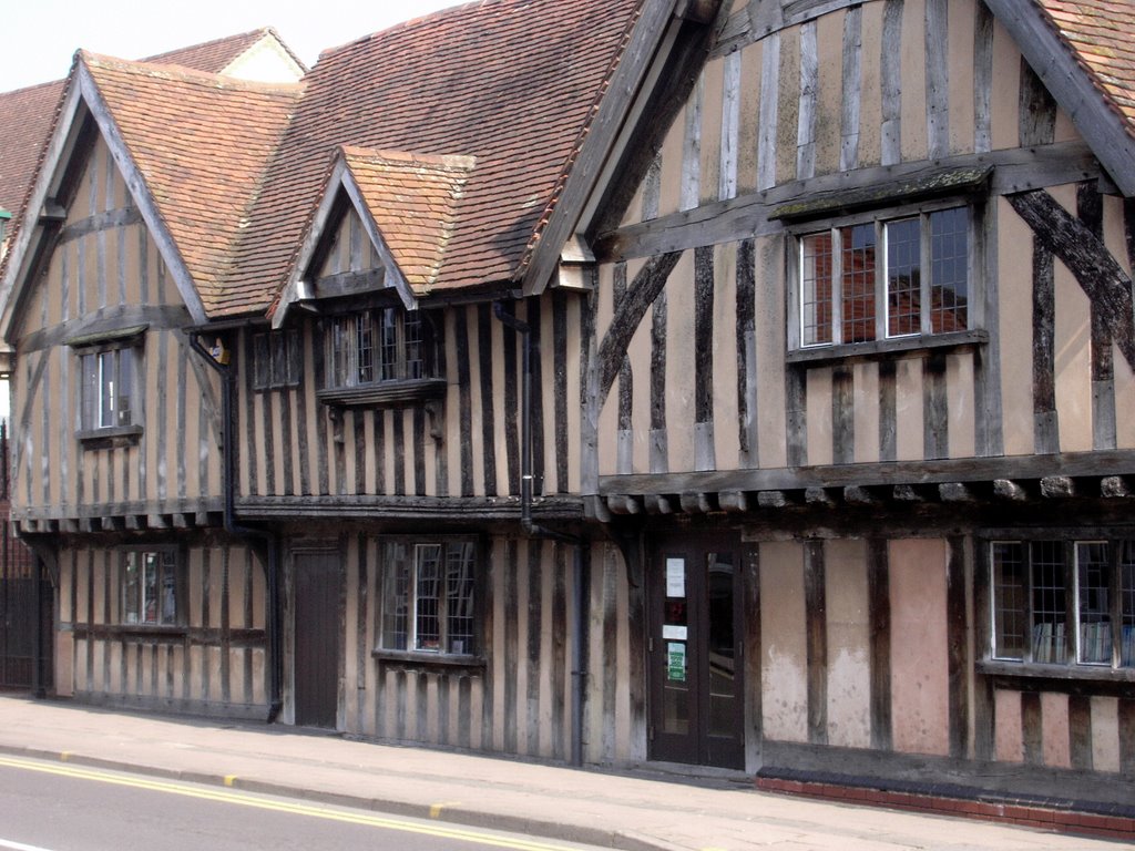
Photos of Solihull
Solihull Weather

Predicción: Overcast clouds
Temperatura: 9.9°
Humedad: 86%
Hora actual: 03:05 AM
Amanece: 05:58 AM
Anochece: 08:13 PM


