Distance between  Stornoway and
  Scourie
45.88 mi Straight Distance
94.53 mi Driving Distance
3 hours 33 mins Estimated Driving Time
The straight distance between Stornoway (Scotland) and Scourie (Scotland) is 45.88 mi, but the driving distance is 94.53 mi.
It takes to go from Stornoway to Scourie.
Driving directions from Stornoway to Scourie
Distance in kilometers
Straight distance: 73.82 km. Route distance: 152.10 km
Stornoway, United Kingdom
Latitude: 58.2094 // Longitude: -6.38487
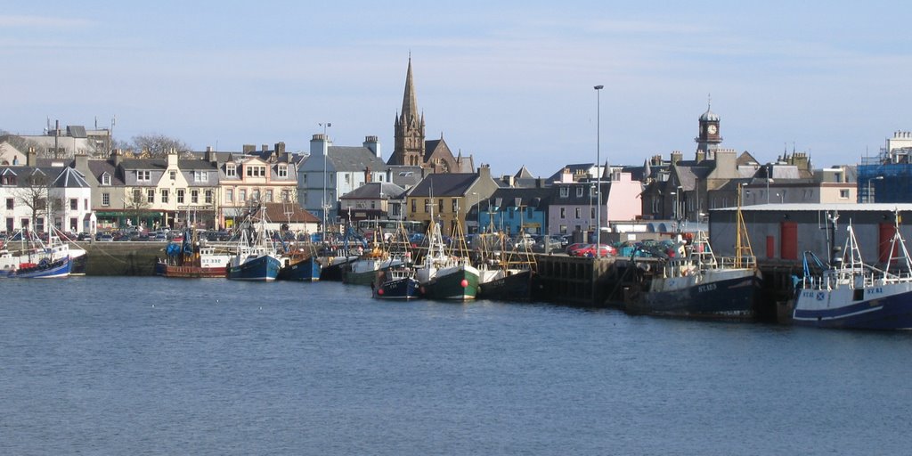
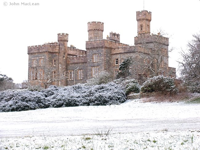
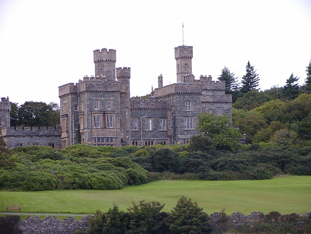
Photos of Stornoway
Stornoway Weather

Predicción: Moderate rain
Temperatura: 5.3°
Humedad: 90%
Hora actual: 03:04 AM
Amanece: 06:00 AM
Anochece: 08:48 PM
Scourie, United Kingdom
Latitude: 58.352 // Longitude: -5.15129
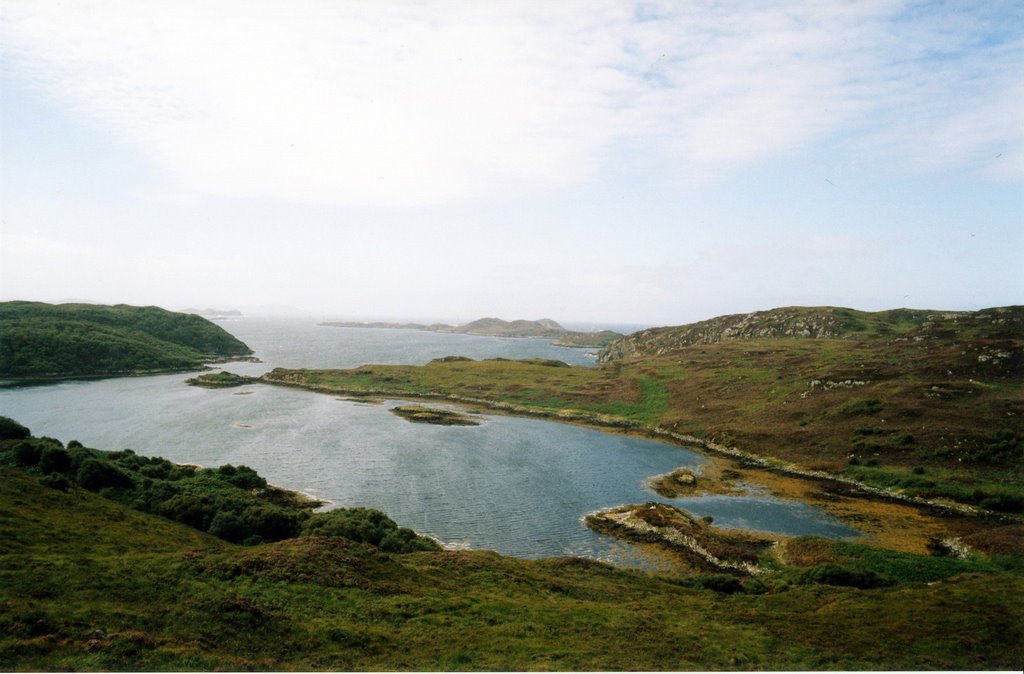
Photos of Scourie
Scourie Weather

Predicción: Overcast clouds
Temperatura: 6.2°
Humedad: 84%
Hora actual: 01:00 AM
Amanece: 05:54 AM
Anochece: 08:44 PM


