Distance between  Stornoway and
  Isle of Mull
123.90 mi Straight Distance
210.56 mi Driving Distance
5 hours 45 mins Estimated Driving Time
The straight distance between Stornoway (Scotland) and Isle of Mull (Scotland) is 123.90 mi, but the driving distance is 210.56 mi.
It takes 8 hours 33 mins to go from Stornoway to Isle of Mull.
Driving directions from Stornoway to Isle of Mull
Distance in kilometers
Straight distance: 199.36 km. Route distance: 338.79 km
Stornoway, United Kingdom
Latitude: 58.2094 // Longitude: -6.38487
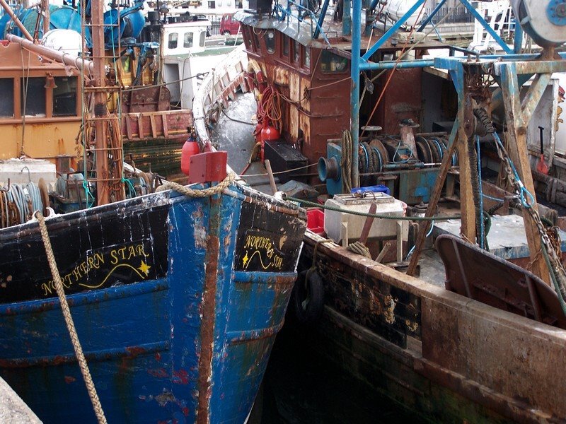
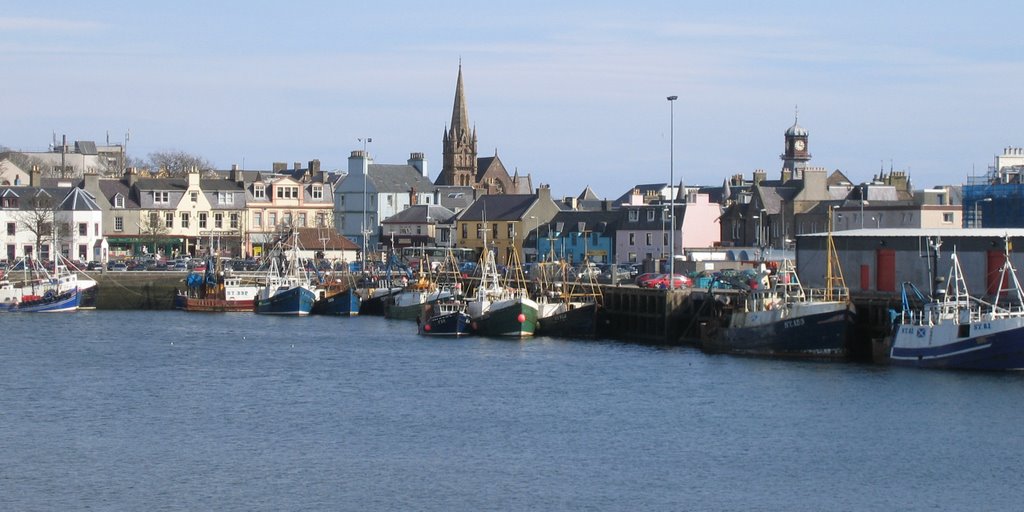
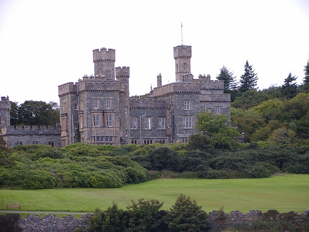
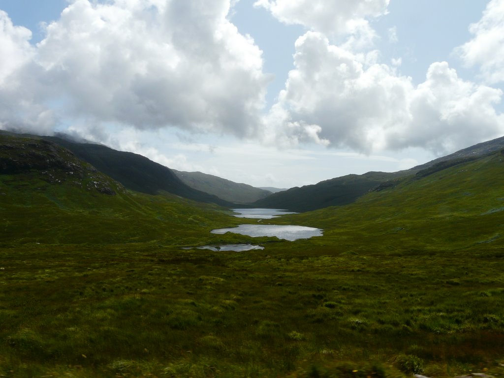
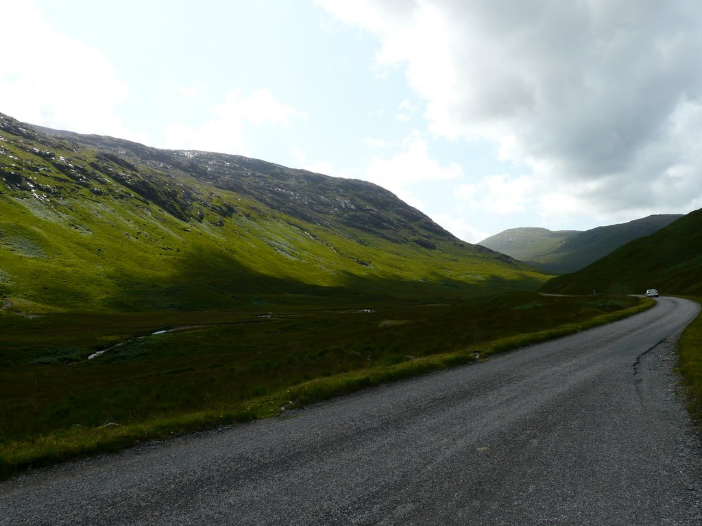
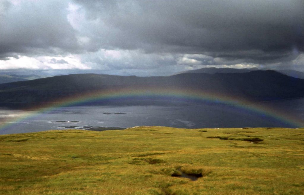
Photos of Stornoway
Stornoway Weather

Predicción: Moderate rain
Temperatura: 7.2°
Humedad: 74%
Hora actual: 01:37 PM
Amanece: 06:08 AM
Anochece: 08:42 PM
Isle of Mull, United Kingdom
Latitude: 56.4469 // Longitude: -5.77167
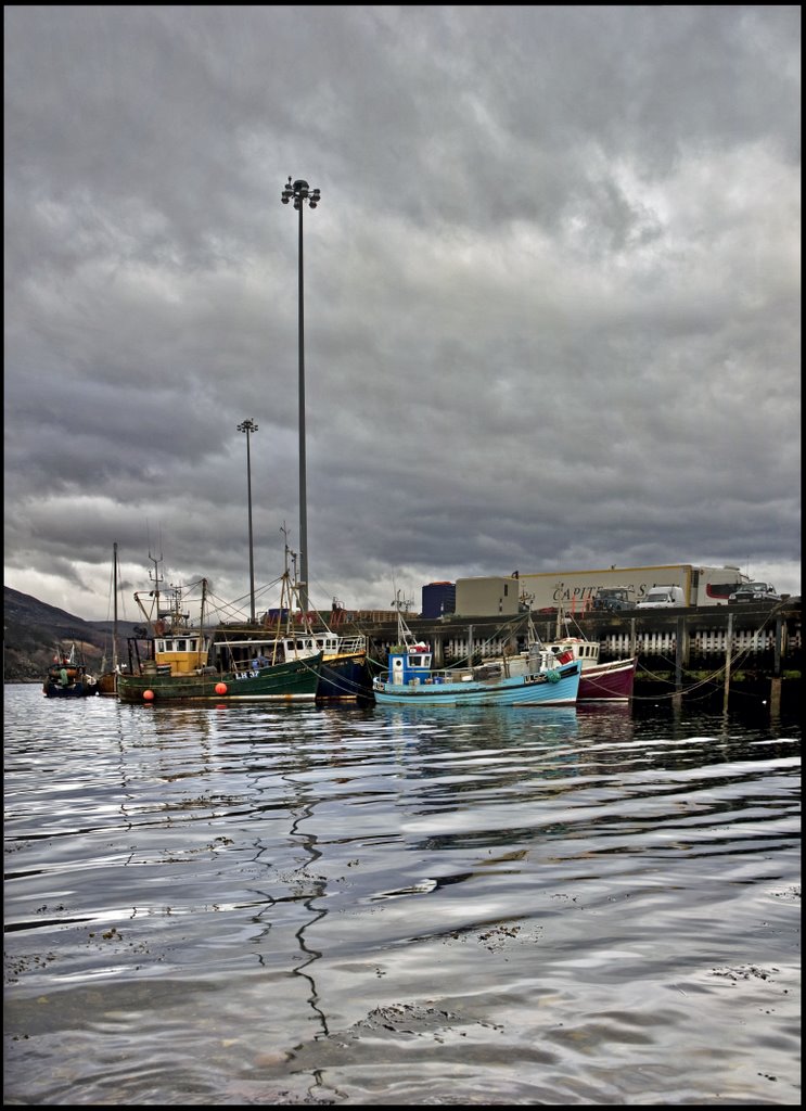
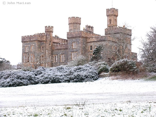
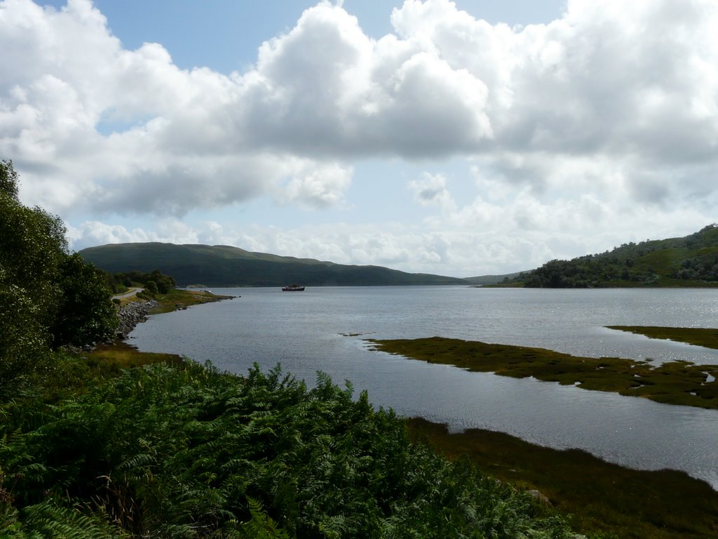
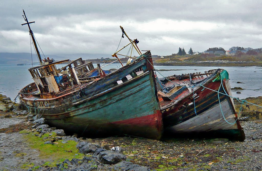
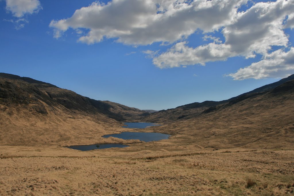
Photos of Isle of Mull
Isle of Mull Weather

Predicción: Clear sky
Temperatura: 7.7°
Humedad: 54%
Hora actual: 01:37 PM
Amanece: 06:10 AM
Anochece: 08:34 PM


