Distance between  Stalham and
  Stalbridge
208.13 mi Straight Distance
251.93 mi Driving Distance
3 hours 59 mins Estimated Driving Time
The straight distance between Stalham (England) and Stalbridge (England) is 208.13 mi, but the driving distance is 251.93 mi.
It takes 4 hours 42 mins to go from Stalham to Stalbridge.
Driving directions from Stalham to Stalbridge
Distance in kilometers
Straight distance: 334.87 km. Route distance: 405.35 km
Stalham, United Kingdom
Latitude: 52.774 // Longitude: 1.51542
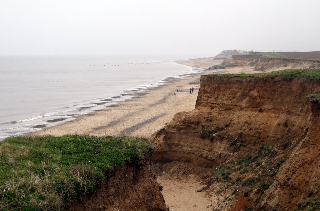
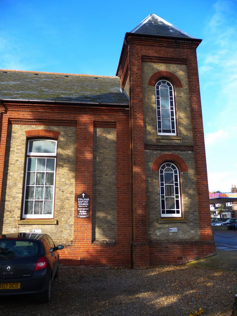
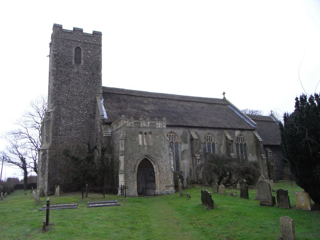
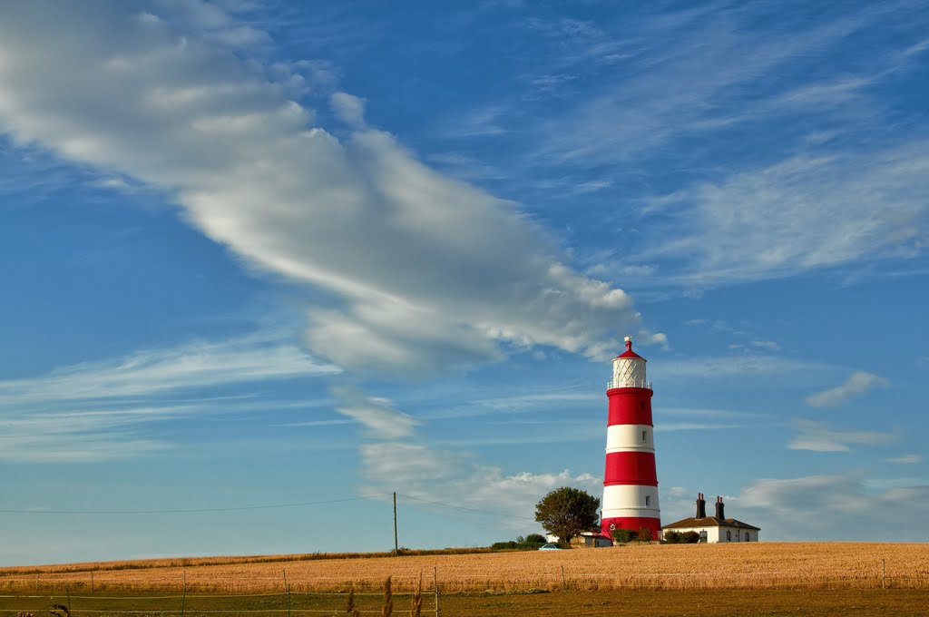
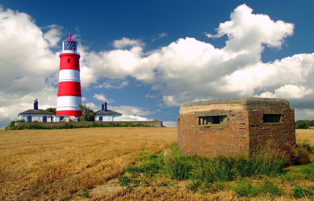
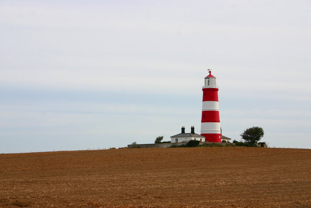
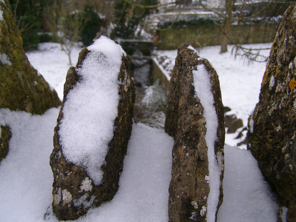
Photos of Stalham
Stalham Weather

Predicción: Light intensity drizzle rain
Temperatura: 7.1°
Humedad: 93%
Hora actual: 10:31 PM
Amanece: 05:46 AM
Anochece: 07:59 PM
Stalbridge, United Kingdom
Latitude: 50.9586 // Longitude: -2.37867
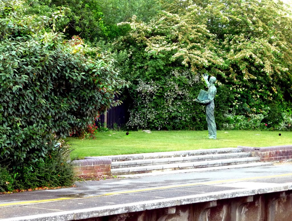
Photos of Stalbridge
Stalbridge Weather

Predicción: Overcast clouds
Temperatura: 8.8°
Humedad: 71%
Hora actual: 10:31 PM
Amanece: 06:06 AM
Anochece: 08:11 PM


