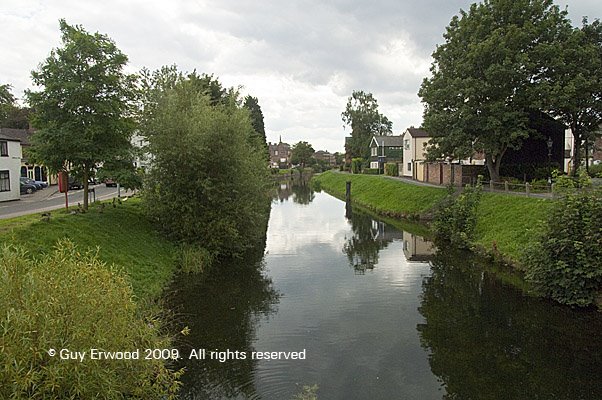
Distance between  Stalbridge and
  Spalding
158.17 mi Straight Distance
199.43 mi Driving Distance
3 hours 24 mins Estimated Driving Time
The straight distance between Stalbridge (England) and Spalding (England) is 158.17 mi, but the driving distance is 199.43 mi.
It takes to go from Stalbridge to Spalding.
Driving directions from Stalbridge to Spalding
Distance in kilometers
Straight distance: 254.49 km. Route distance: 320.88 km
Stalbridge, United Kingdom
Latitude: 50.9586 // Longitude: -2.37867
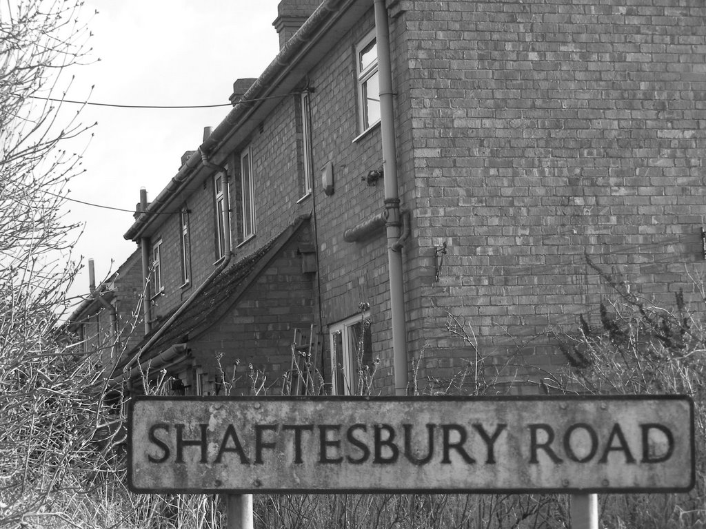
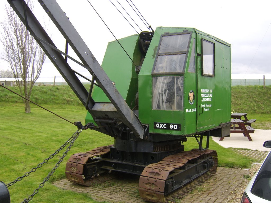
Photos of Stalbridge
Stalbridge Weather

Predicción: Scattered clouds
Temperatura: 9.1°
Humedad: 66%
Hora actual: 09:03 PM
Amanece: 06:06 AM
Anochece: 08:11 PM
Spalding, United Kingdom
Latitude: 52.7901 // Longitude: -0.153702
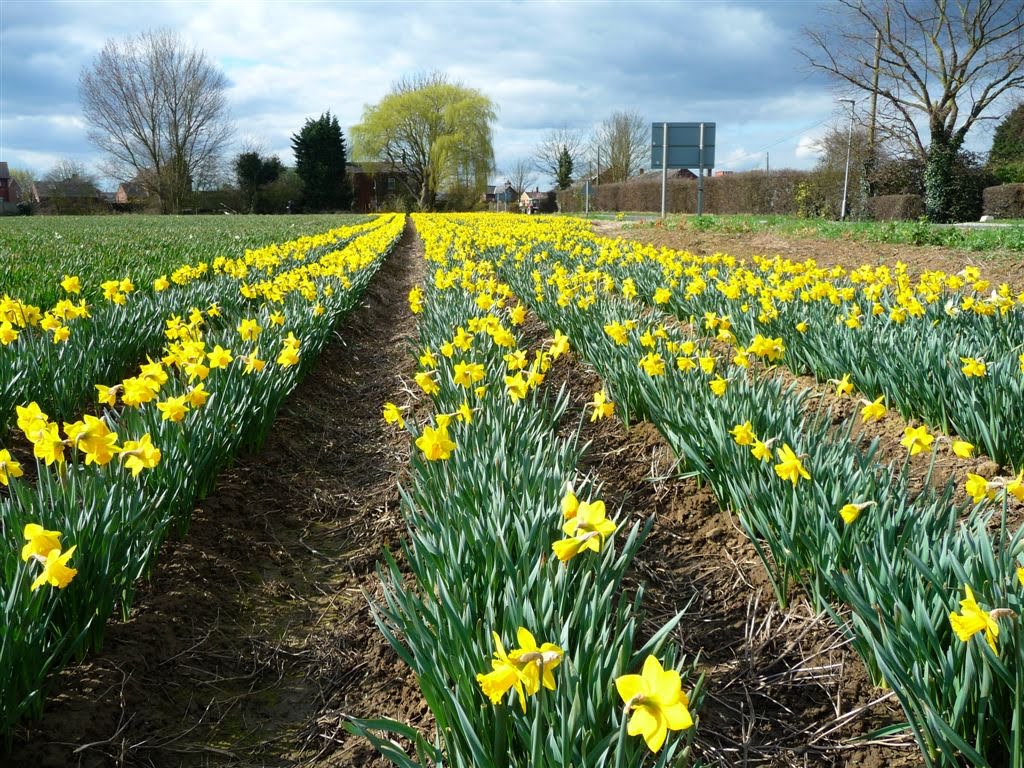
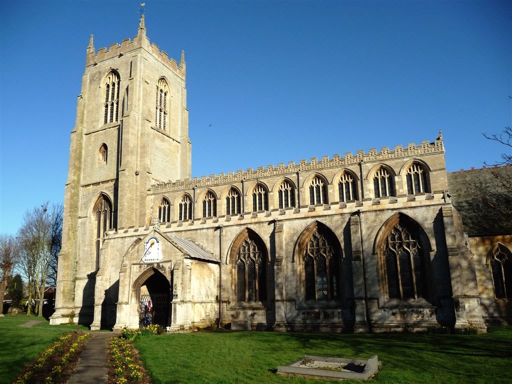
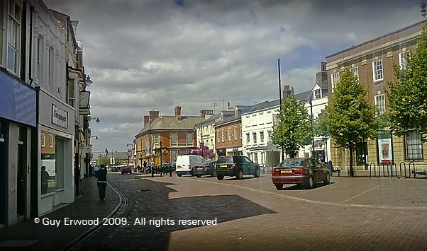
Photos of Spalding
Spalding Weather

Predicción: Light rain
Temperatura: 7.3°
Humedad: 89%
Hora actual: 09:03 PM
Amanece: 05:53 AM
Anochece: 08:06 PM


