Distance between  Stafford and
  South Kirkby and Moorthorpe
63.58 mi Straight Distance
90.83 mi Driving Distance
1 hour 37 mins Estimated Driving Time
The straight distance between Stafford (England) and South Kirkby and Moorthorpe (England) is 63.58 mi, but the driving distance is 90.83 mi.
It takes to go from Stafford to South Kirkby and Moorthorpe.
Driving directions from Stafford to South Kirkby and Moorthorpe
Distance in kilometers
Straight distance: 102.30 km. Route distance: 146.14 km
Stafford, United Kingdom
Latitude: 52.8067 // Longitude: -2.12066
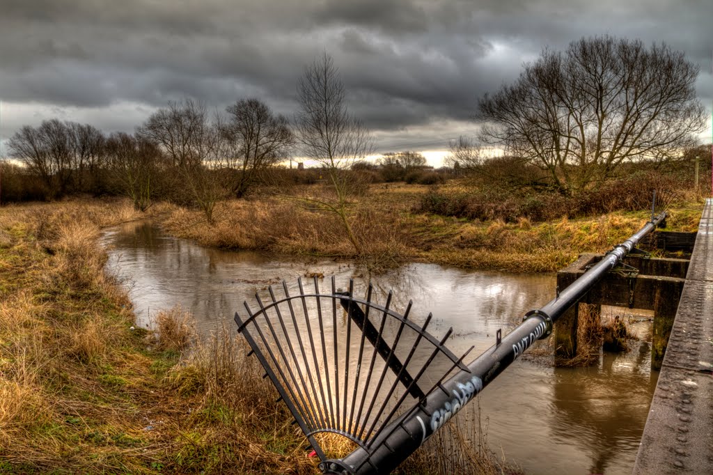
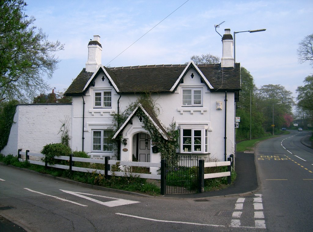
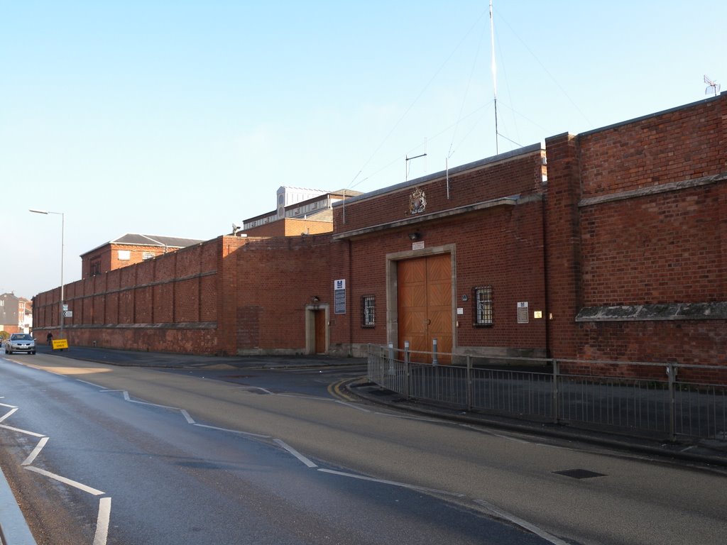
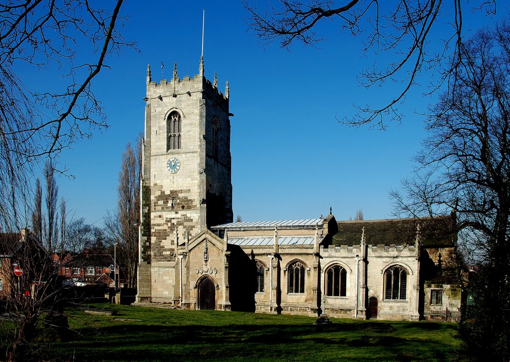
Photos of Stafford
Stafford Weather

Predicción: Few clouds
Temperatura: 0.9°
Humedad: 84%
Hora actual: 05:25 AM
Amanece: 06:00 AM
Anochece: 08:14 PM
South Kirkby and Moorthorpe, United Kingdom
Latitude: 53.5941 // Longitude: -1.32552
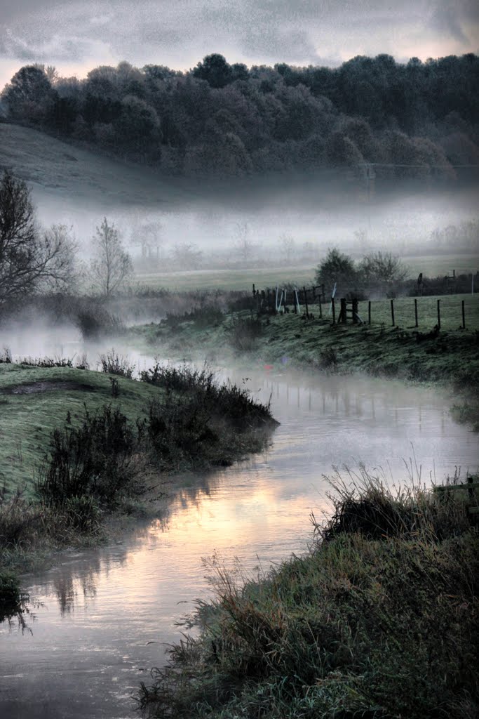
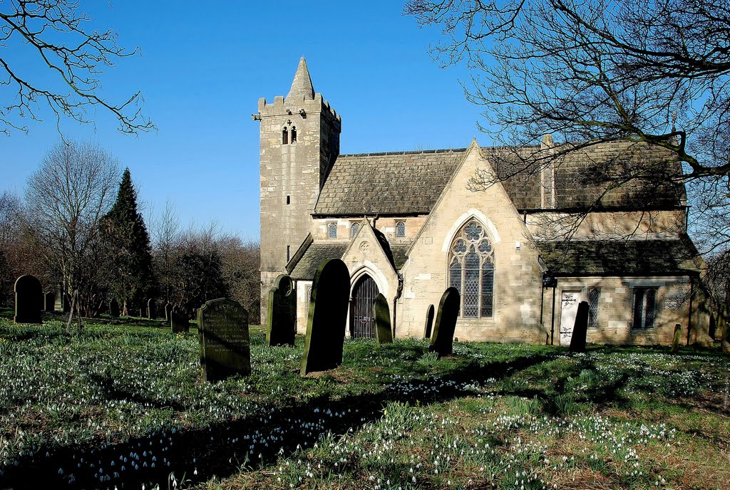
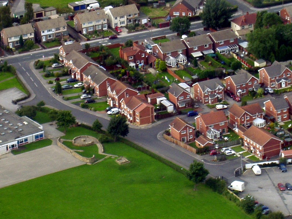
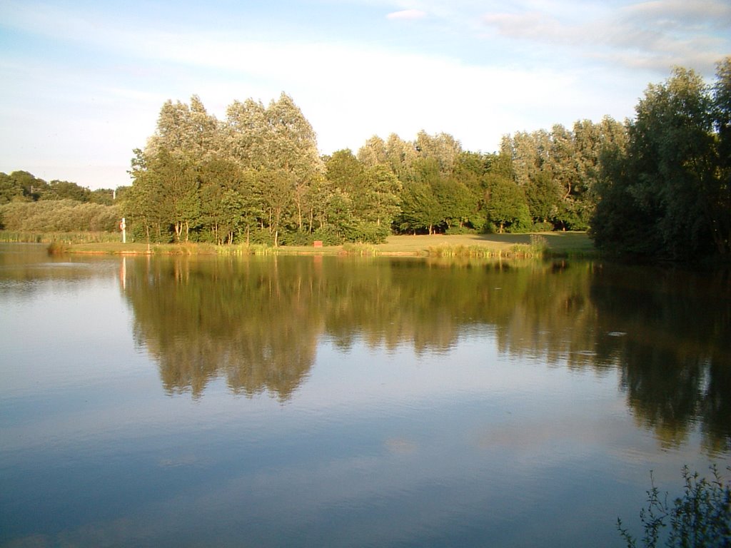
Photos of South Kirkby and Moorthorpe
South Kirkby and Moorthorpe Weather

Predicción: Few clouds
Temperatura: 2.5°
Humedad: 91%
Hora actual: 05:25 AM
Amanece: 05:55 AM
Anochece: 08:13 PM


