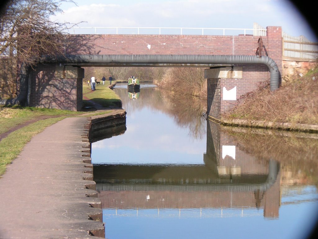
Distance between  Southwick and
  Sandbach
183.58 mi Straight Distance
233.90 mi Driving Distance
3 hours 30 mins Estimated Driving Time
The straight distance between Southwick (England) and Sandbach (England) is 183.58 mi, but the driving distance is 233.90 mi.
It takes to go from Southwick to Sandbach.
Driving directions from Southwick to Sandbach
Distance in kilometers
Straight distance: 295.38 km. Route distance: 376.35 km
Southwick, United Kingdom
Latitude: 50.8353 // Longitude: -0.238234
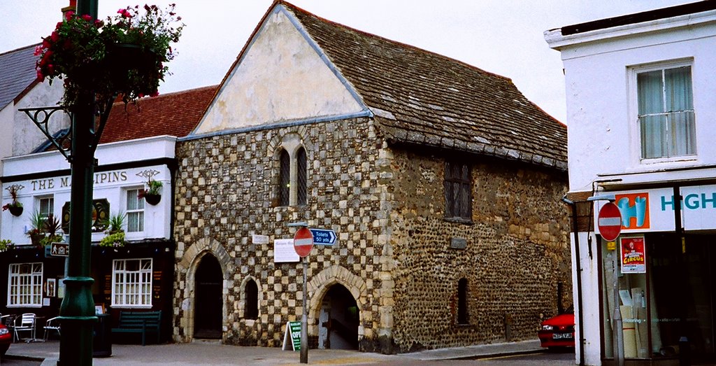
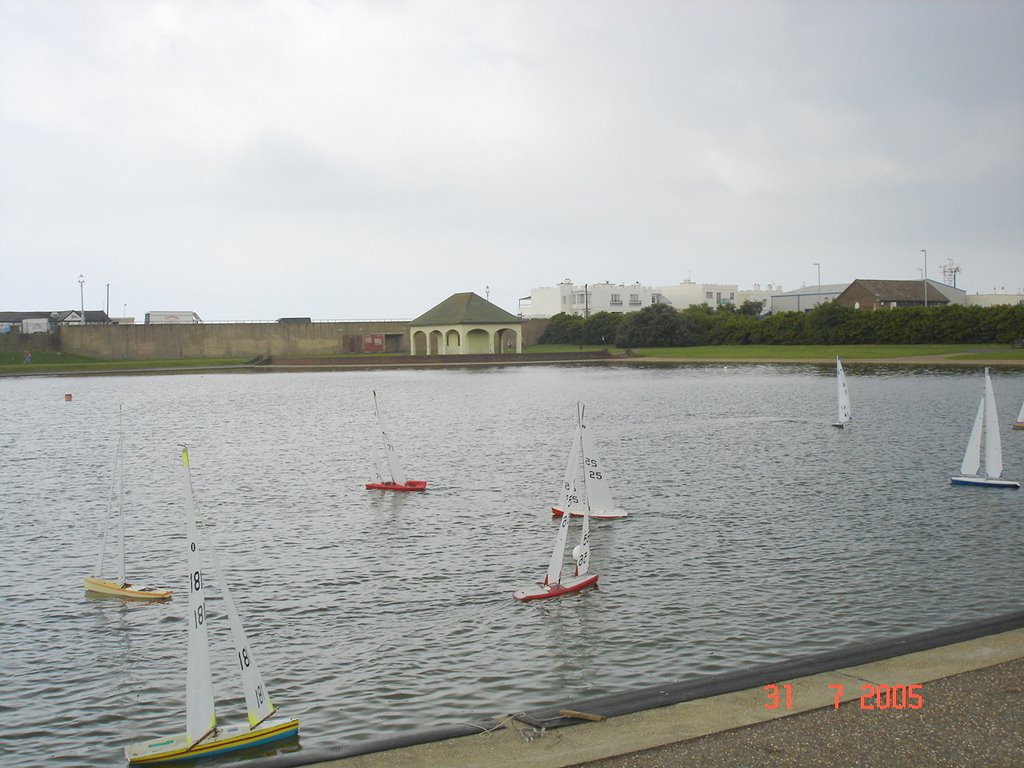
Photos of Southwick
Southwick Weather

Predicción: Scattered clouds
Temperatura: 12.5°
Humedad: 63%
Hora actual: 12:43 PM
Amanece: 06:01 AM
Anochece: 07:59 PM
Sandbach, United Kingdom
Latitude: 53.1466 // Longitude: -2.36738
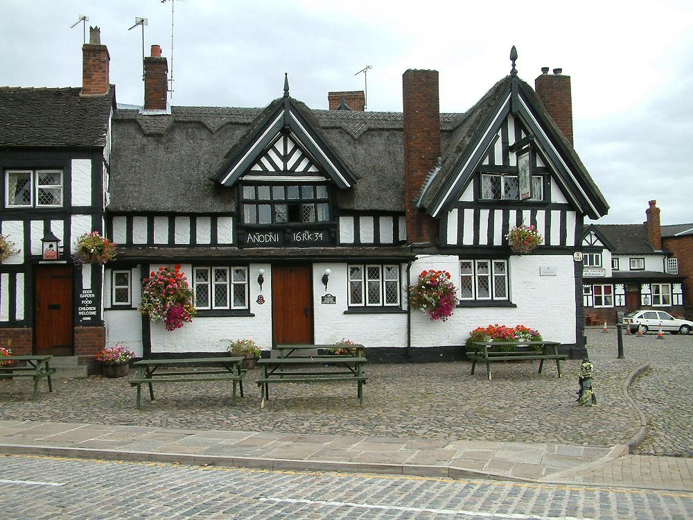
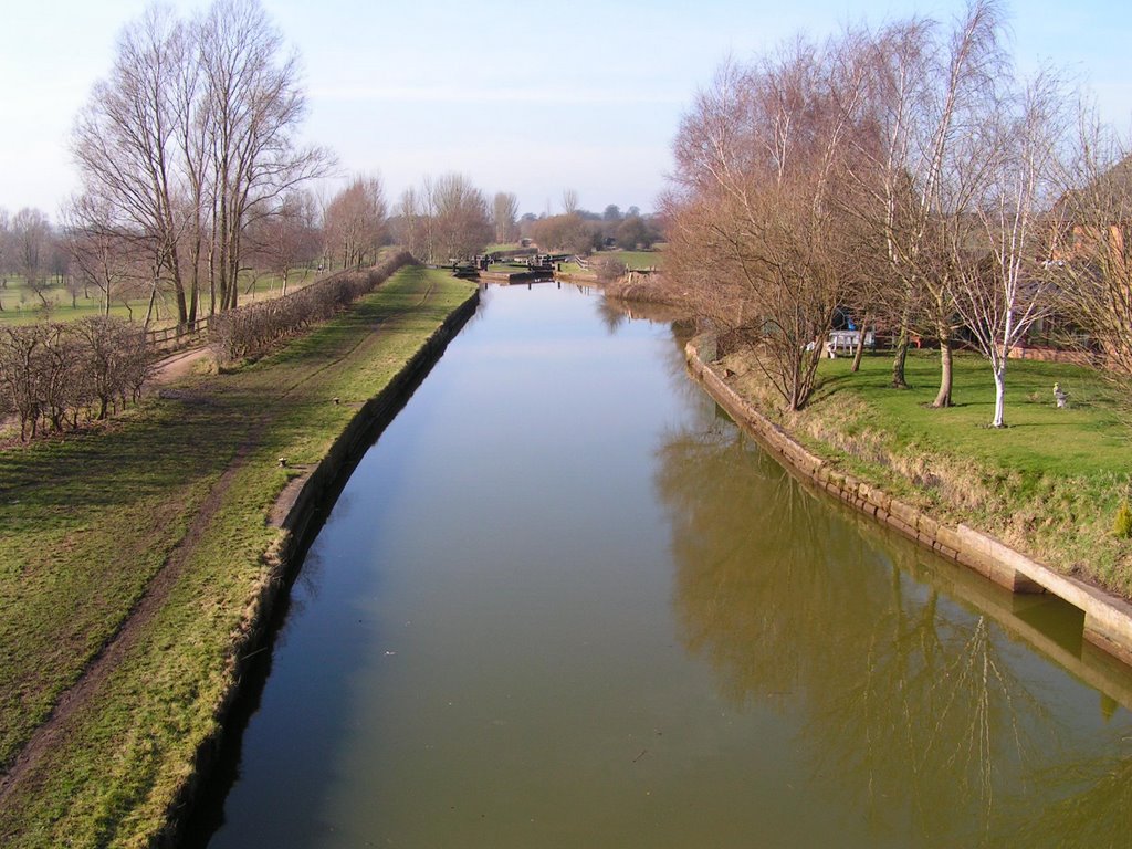
Photos of Sandbach
Sandbach Weather

Predicción: Broken clouds
Temperatura: 10.9°
Humedad: 70%
Hora actual: 12:43 PM
Amanece: 06:05 AM
Anochece: 08:12 PM


