Distance between  Southall and
  Shoreham-by-Sea
46.99 mi Straight Distance
75.53 mi Driving Distance
1 hour 12 mins Estimated Driving Time
The straight distance between Southall (England) and Shoreham-by-Sea (England) is 46.99 mi, but the driving distance is 75.53 mi.
It takes 1 hour 29 mins to go from Southall to Shoreham-by-Sea.
Driving directions from Southall to Shoreham-by-Sea
Distance in kilometers
Straight distance: 75.61 km. Route distance: 121.52 km
Southall, United Kingdom
Latitude: 51.5111 // Longitude: -0.377232
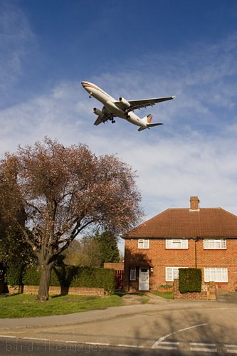
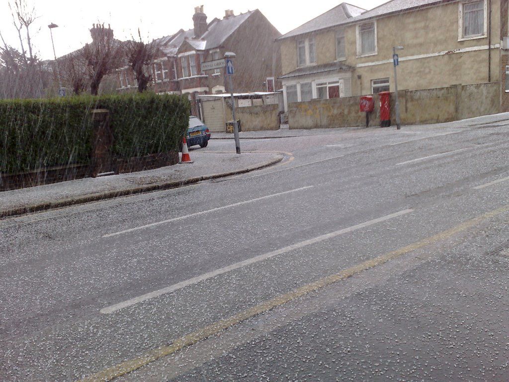
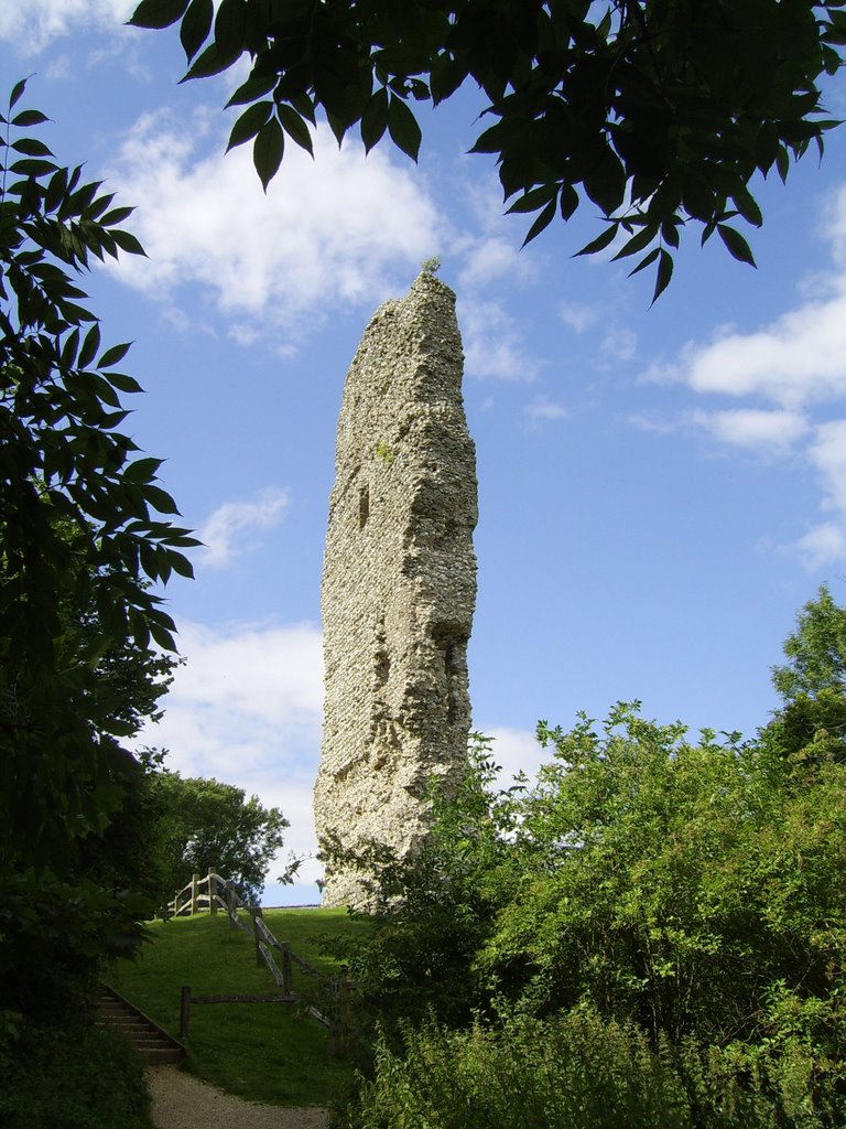
Photos of Southall
Southall Weather

Predicción: Broken clouds
Temperatura: 8.6°
Humedad: 80%
Hora actual: 07:32 PM
Amanece: 06:01 AM
Anochece: 08:01 PM
Shoreham-by-Sea, United Kingdom
Latitude: 50.8342 // Longitude: -0.271556
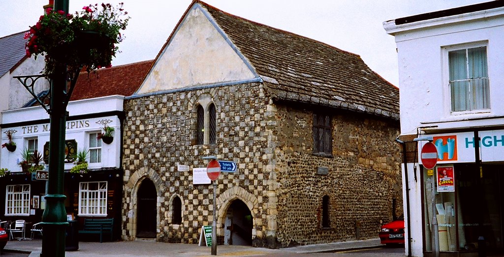
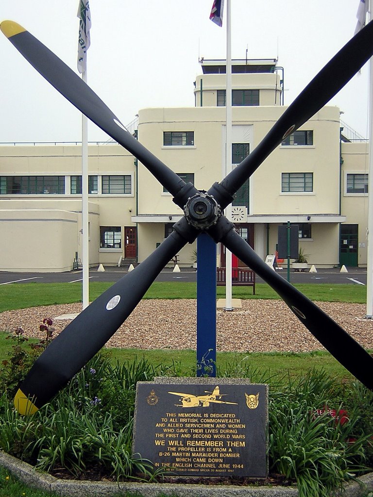
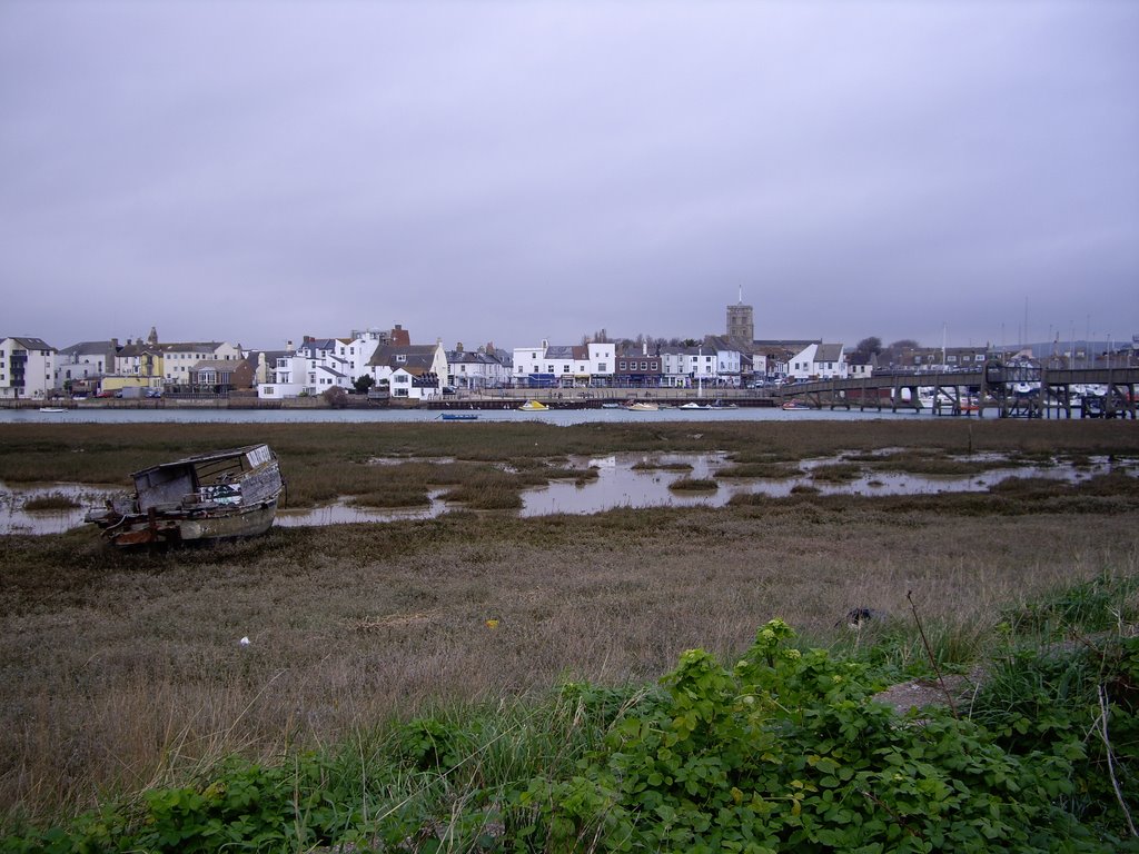
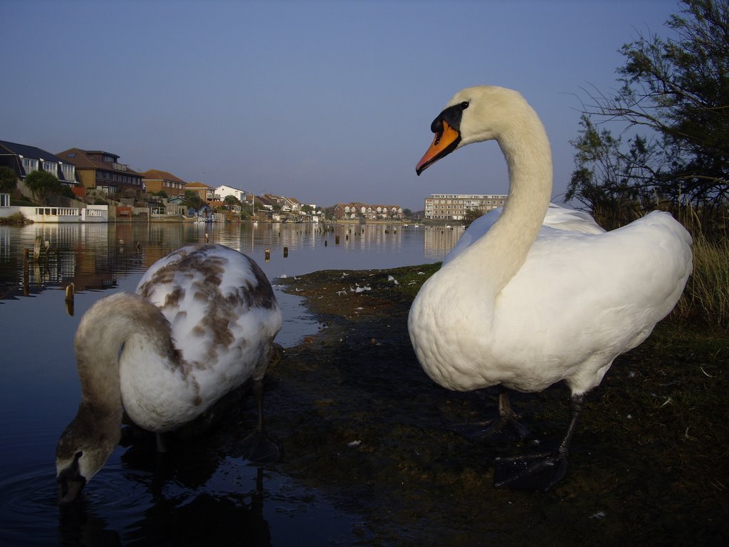
Photos of Shoreham-by-Sea
Shoreham-by-Sea Weather

Predicción: Few clouds
Temperatura: 10.1°
Humedad: 64%
Hora actual: 07:32 PM
Amanece: 06:02 AM
Anochece: 07:59 PM


