Distance between  Snaith and Cowick and
  St Columb Major
279.66 mi Straight Distance
349.07 mi Driving Distance
5 hours 21 mins Estimated Driving Time
The straight distance between Snaith and Cowick (England) and St Columb Major (England) is 279.66 mi, but the driving distance is 349.07 mi.
It takes to go from Snaith and Cowick to St Columb Major.
Driving directions from Snaith and Cowick to St Columb Major
Distance in kilometers
Straight distance: 449.97 km. Route distance: 561.65 km
Snaith and Cowick, United Kingdom
Latitude: 53.6784 // Longitude: -1.01184
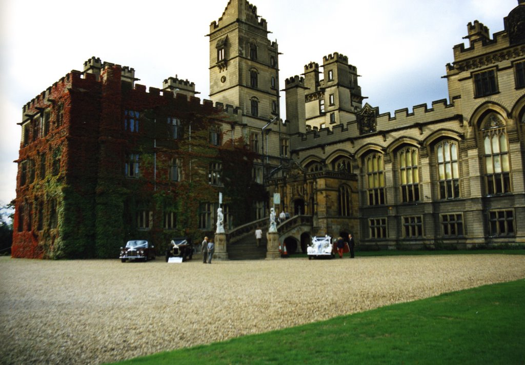
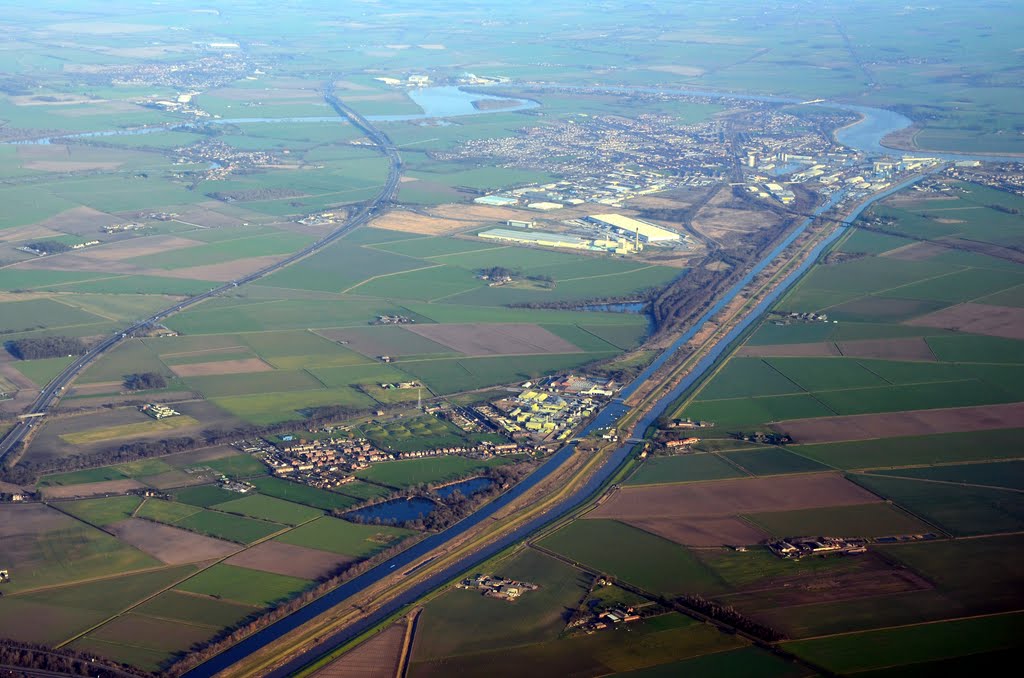
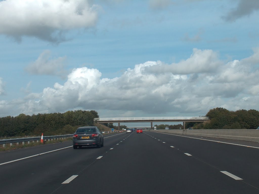
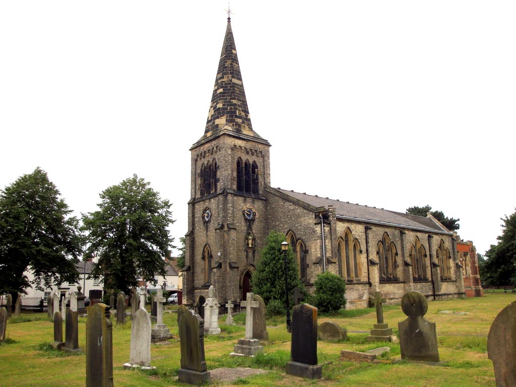
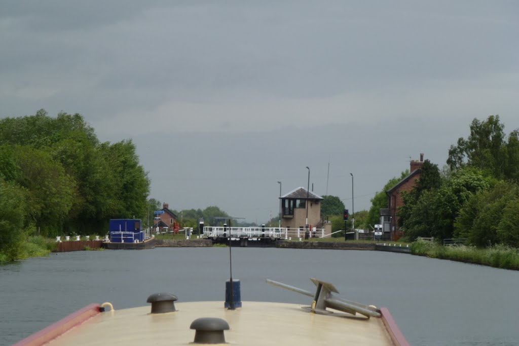
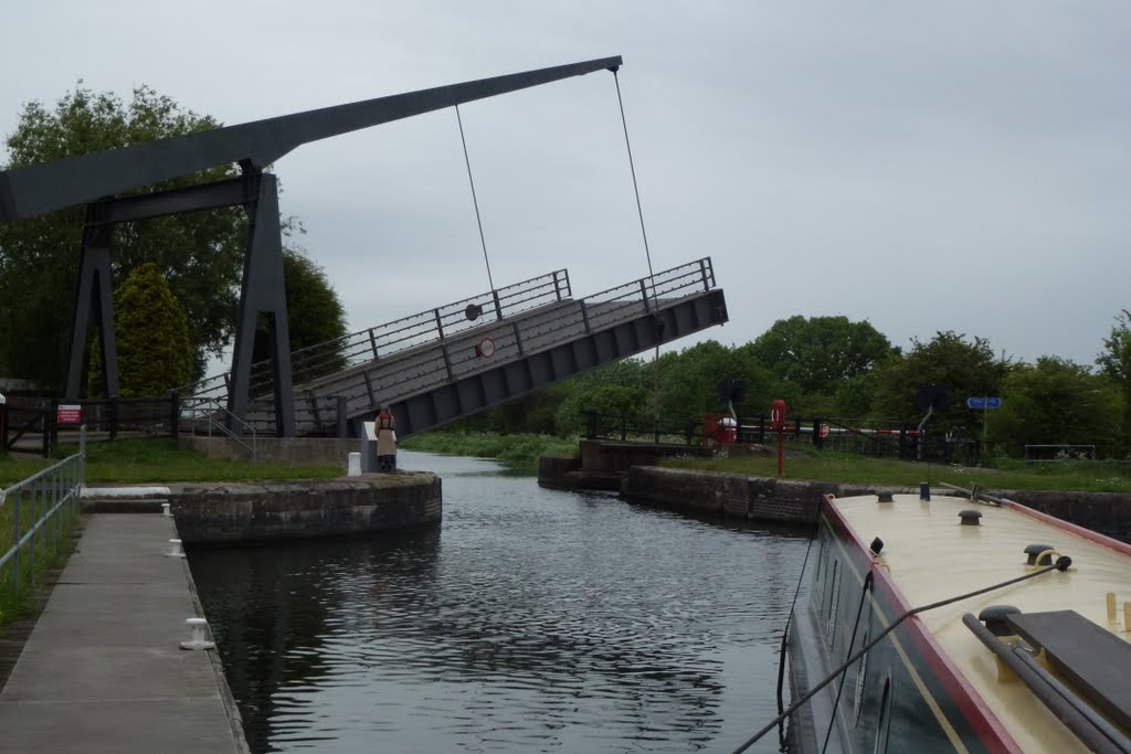
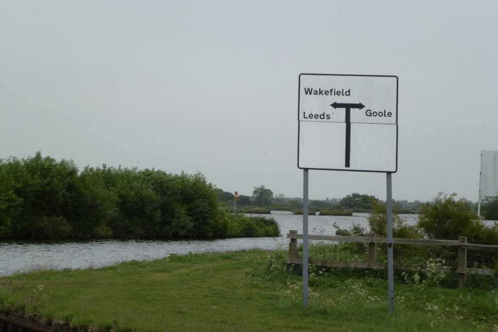
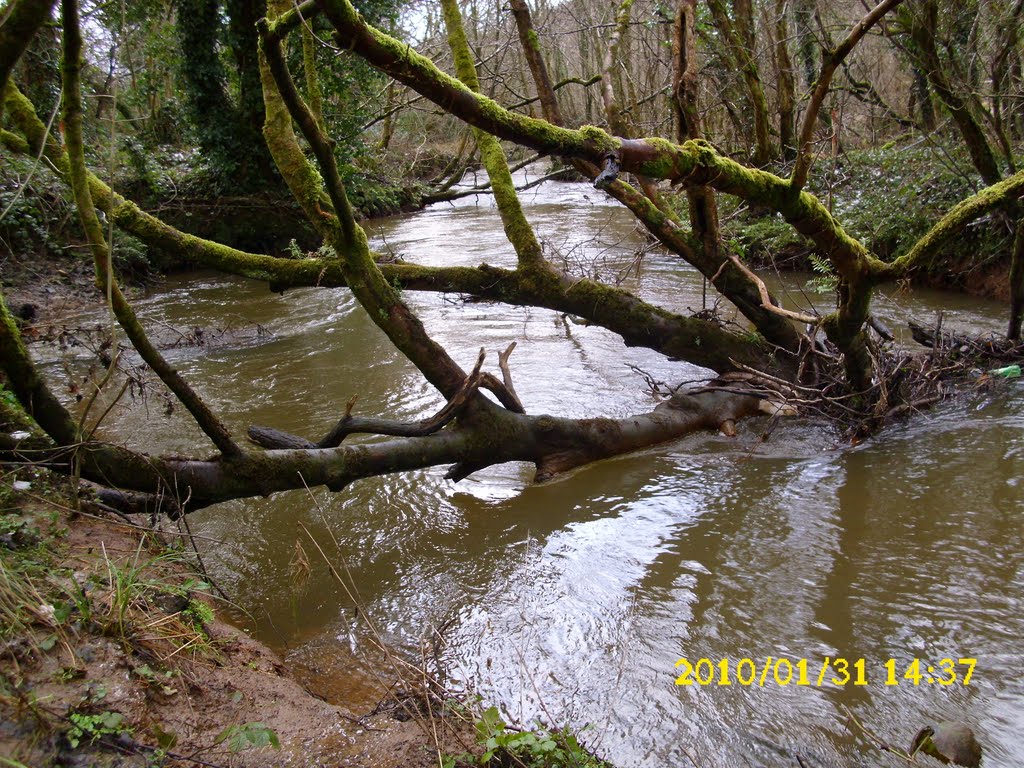
Photos of Snaith and Cowick
Snaith and Cowick Weather

Predicción: Overcast clouds
Temperatura: 7.2°
Humedad: 84%
Hora actual: 06:17 AM
Amanece: 05:58 AM
Anochece: 08:08 PM
St Columb Major, United Kingdom
Latitude: 50.4331 // Longitude: -4.94909
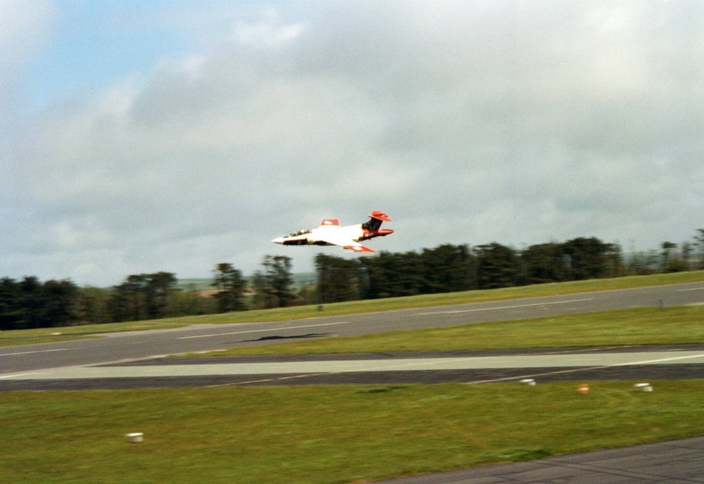
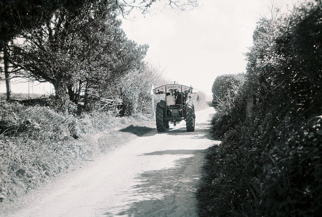
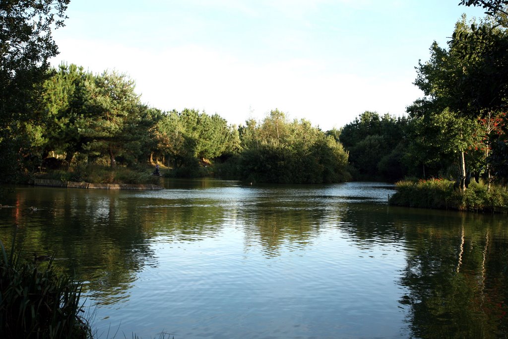
Photos of St Columb Major
St Columb Major Weather

Predicción: Overcast clouds
Temperatura: 8.2°
Humedad: 87%
Hora actual: 06:17 AM
Amanece: 06:21 AM
Anochece: 08:17 PM


