Distance between  Snaith and Cowick and
  Romsey
186.95 mi Straight Distance
229.91 mi Driving Distance
3 hours 36 mins Estimated Driving Time
The straight distance between Snaith and Cowick (England) and Romsey (England) is 186.95 mi, but the driving distance is 229.91 mi.
It takes 4 hours 4 mins to go from Snaith and Cowick to Romsey.
Driving directions from Snaith and Cowick to Romsey
Distance in kilometers
Straight distance: 300.80 km. Route distance: 369.93 km
Snaith and Cowick, United Kingdom
Latitude: 53.6784 // Longitude: -1.01184
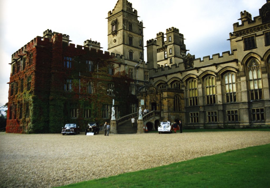
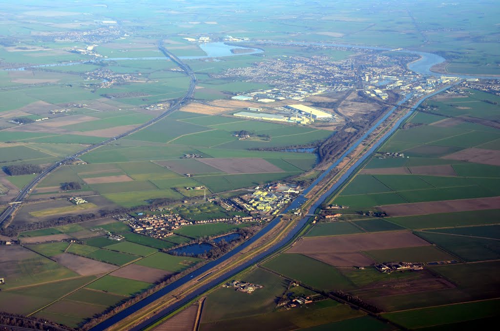
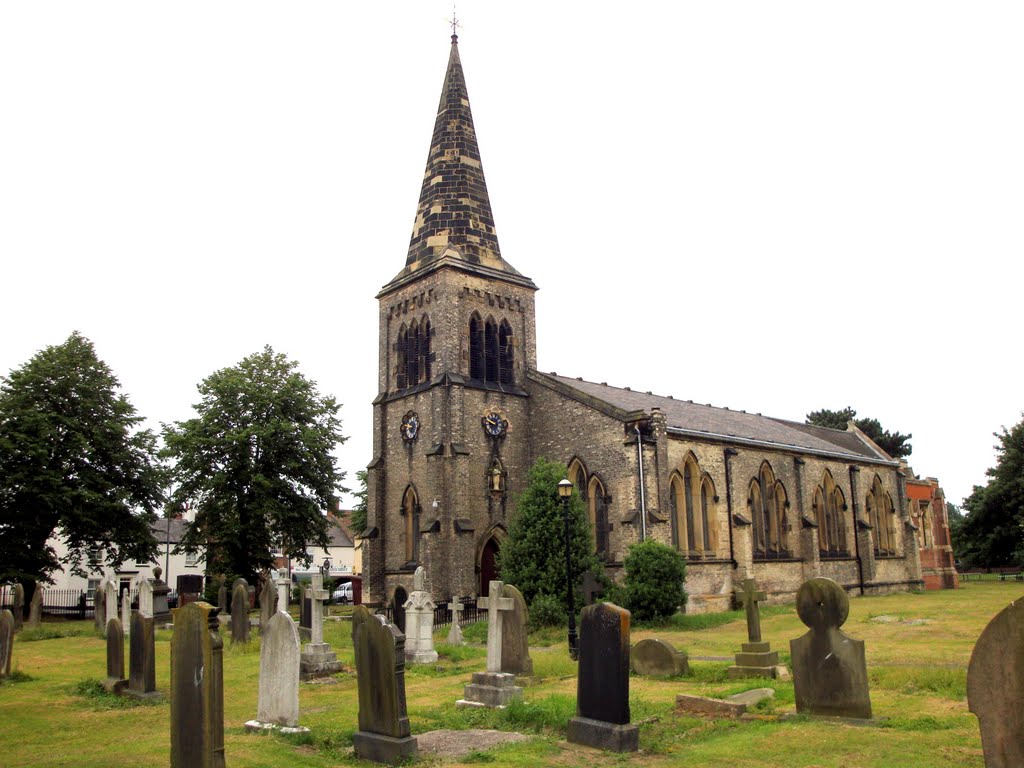
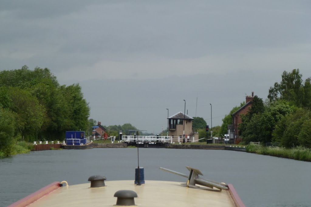
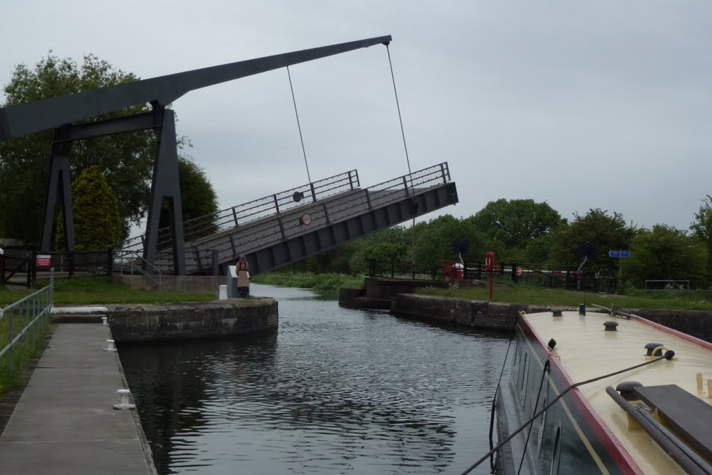
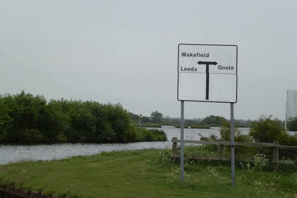
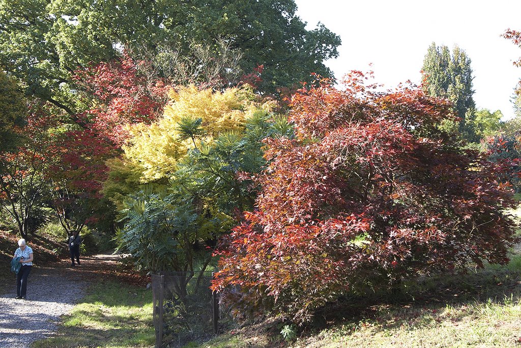
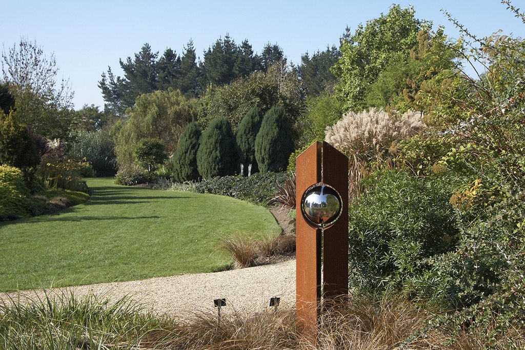
Photos of Snaith and Cowick
Snaith and Cowick Weather

Predicción: Clear sky
Temperatura: 2.5°
Humedad: 90%
Hora actual: 03:28 AM
Amanece: 05:54 AM
Anochece: 08:12 PM
Romsey, United Kingdom
Latitude: 50.9889 // Longitude: -1.49658
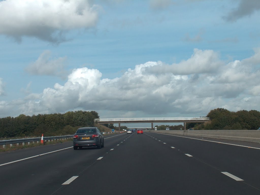
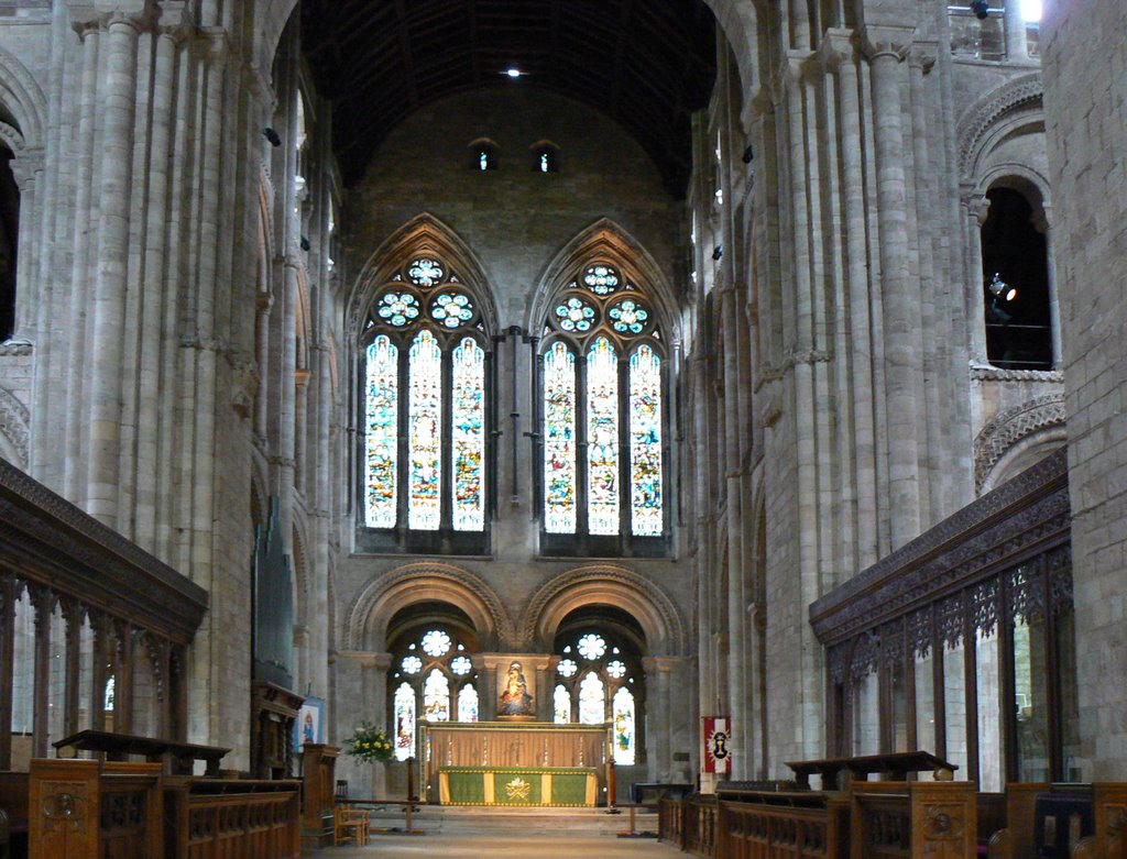
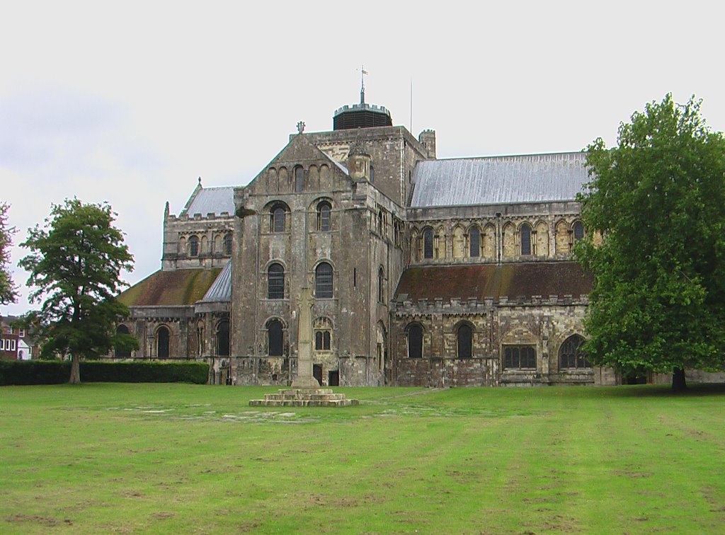
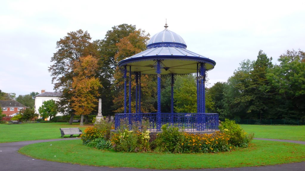
Photos of Romsey
Romsey Weather

Predicción: Few clouds
Temperatura: 5.1°
Humedad: 79%
Hora actual: 03:28 AM
Amanece: 06:02 AM
Anochece: 08:07 PM


