Distance between  Smethwick and
  Ringwood
114.08 mi Straight Distance
153.82 mi Driving Distance
2 hours 27 mins Estimated Driving Time
The straight distance between Smethwick (England) and Ringwood (England) is 114.08 mi, but the driving distance is 153.82 mi.
It takes 2 hours 38 mins to go from Smethwick to Ringwood.
Driving directions from Smethwick to Ringwood
Distance in kilometers
Straight distance: 183.56 km. Route distance: 247.50 km
Smethwick, United Kingdom
Latitude: 52.4924 // Longitude: -1.96521
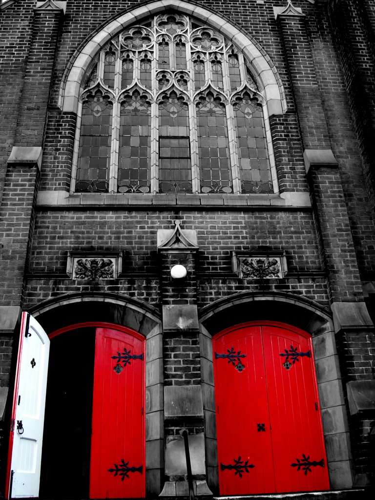
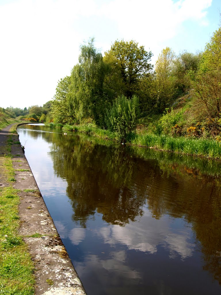
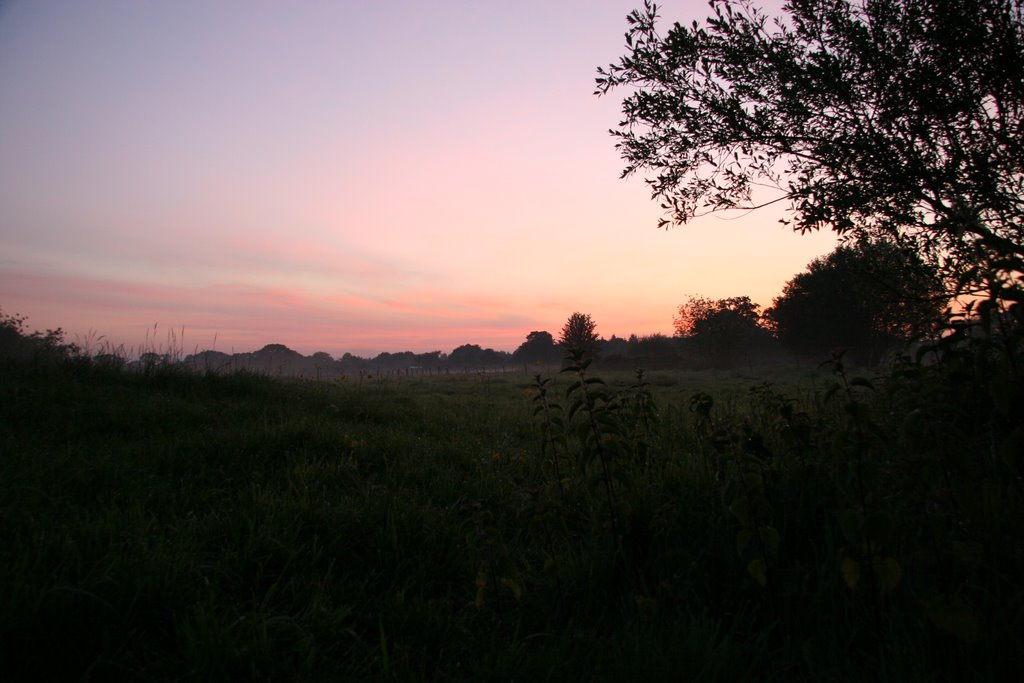
Photos of Smethwick
Smethwick Weather

Predicción: Few clouds
Temperatura: 11.8°
Humedad: 55%
Hora actual: 04:19 PM
Amanece: 06:00 AM
Anochece: 08:13 PM
Ringwood, United Kingdom
Latitude: 50.8449 // Longitude: -1.78882
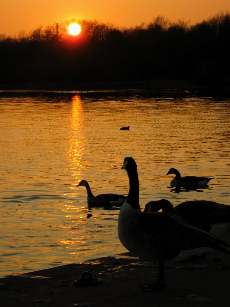
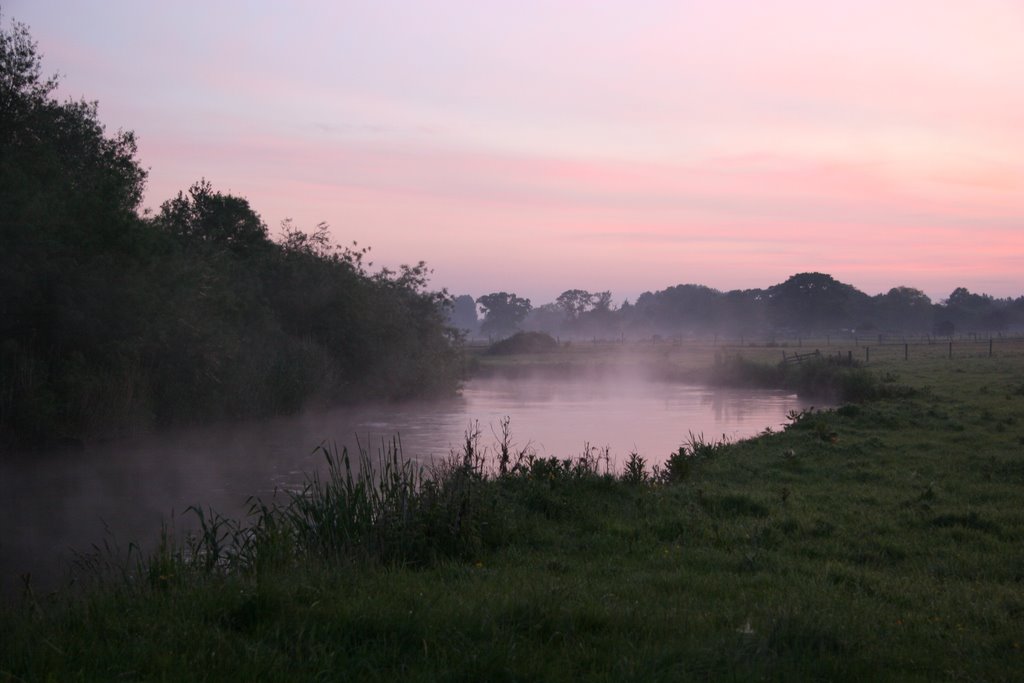
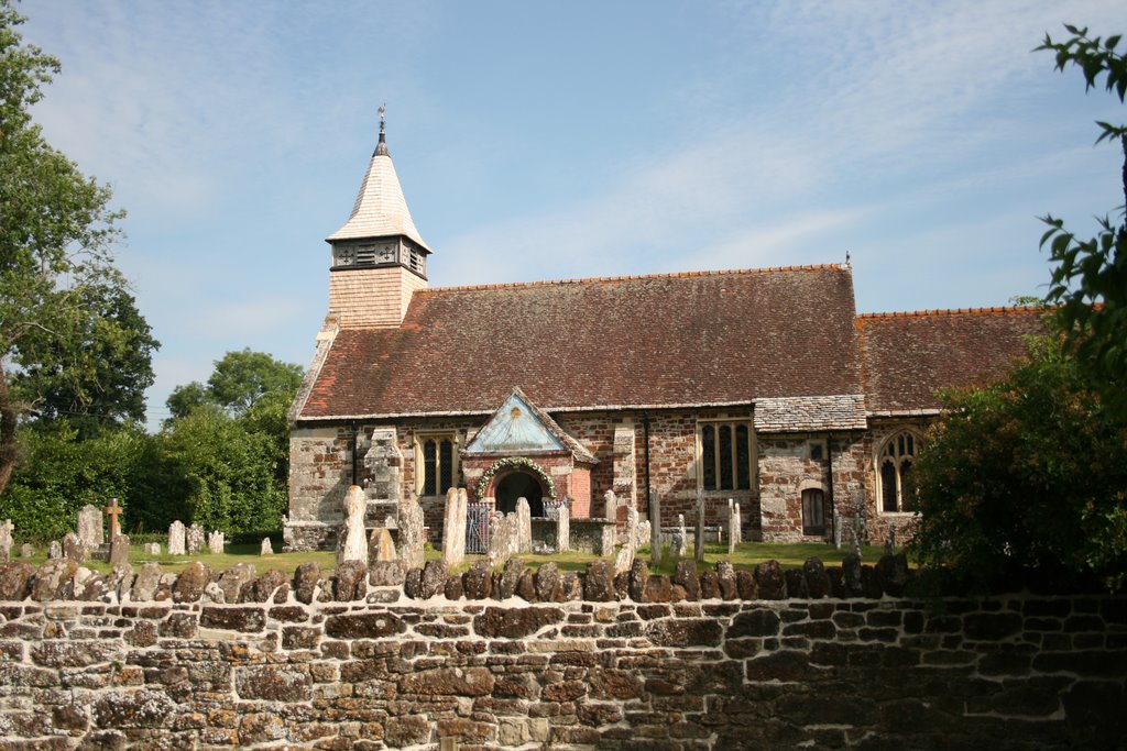
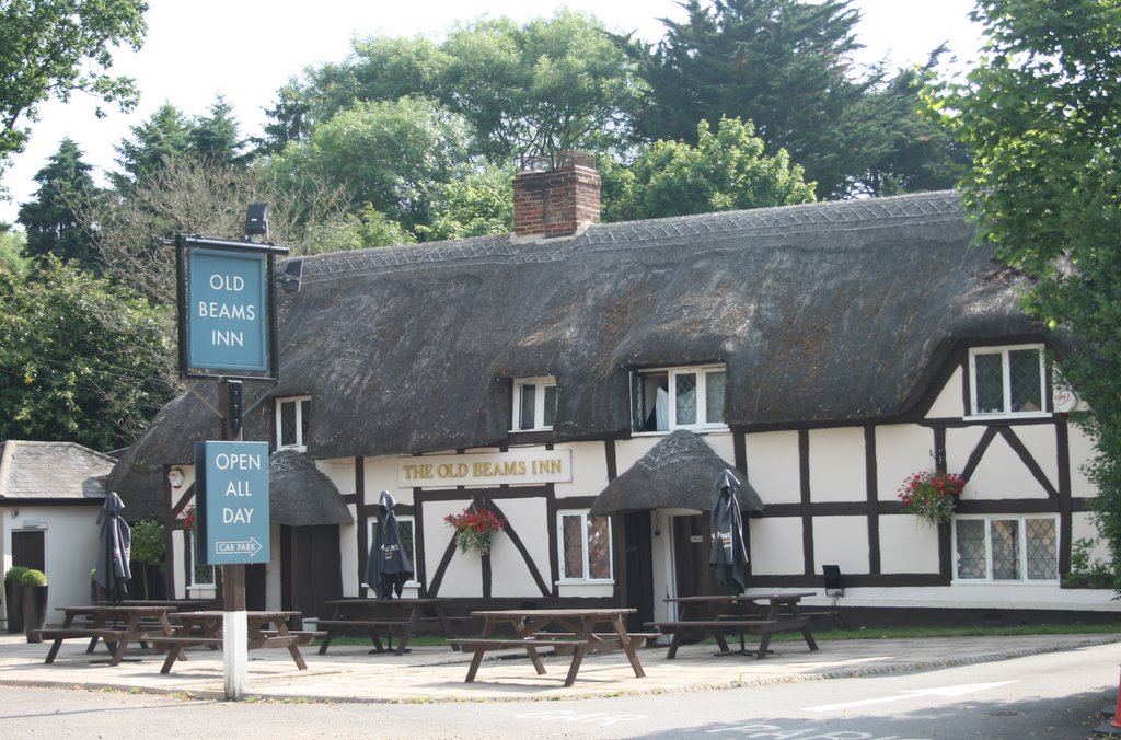
Photos of Ringwood
Ringwood Weather

Predicción: Few clouds
Temperatura: 12.9°
Humedad: 60%
Hora actual: 04:19 PM
Amanece: 06:04 AM
Anochece: 08:08 PM


