Distance between  Slough and
  Rothwell
159.42 mi Straight Distance
192.96 mi Driving Distance
2 hours 59 mins Estimated Driving Time
The straight distance between Slough (England) and Rothwell (England) is 159.42 mi, but the driving distance is 192.96 mi.
It takes to go from Slough to Rothwell.
Driving directions from Slough to Rothwell
Distance in kilometers
Straight distance: 256.51 km. Route distance: 310.47 km
Slough, United Kingdom
Latitude: 51.5105 // Longitude: -0.595041
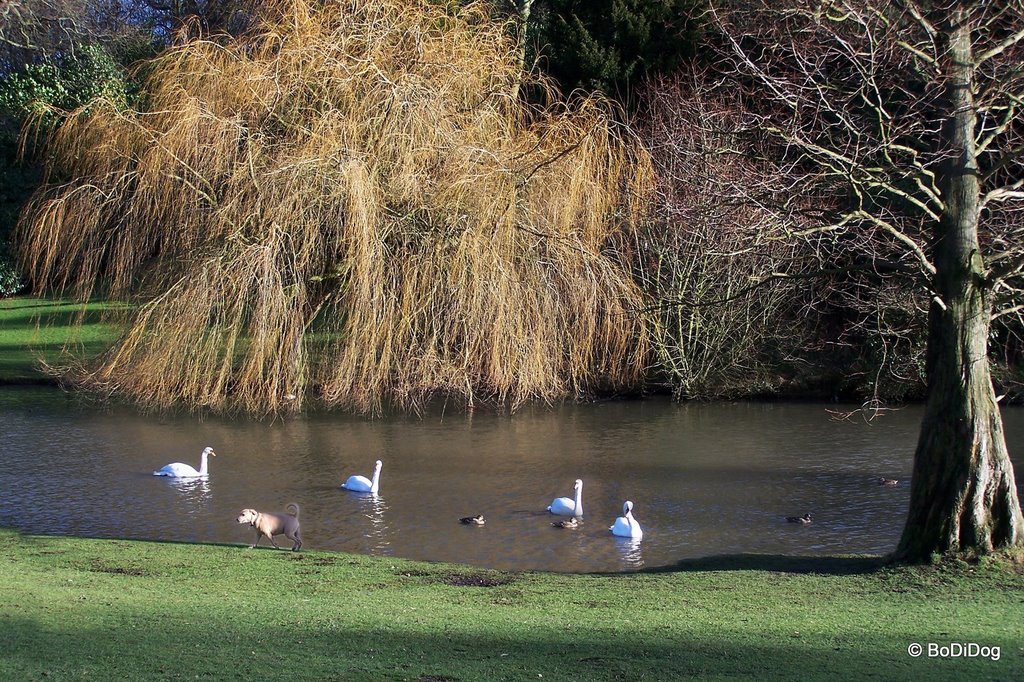
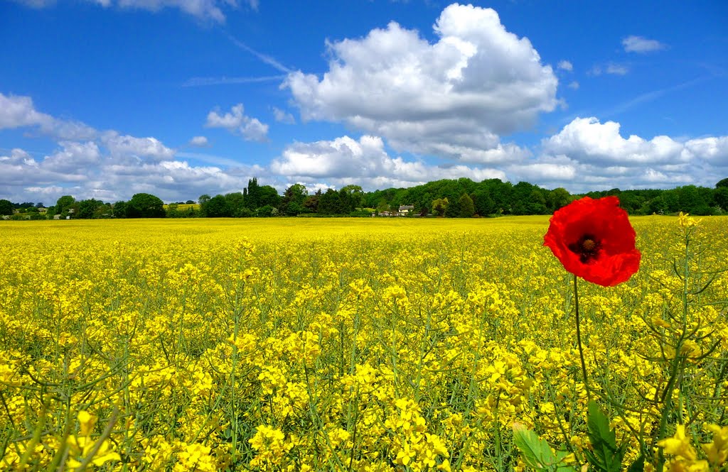
Photos of Slough
Slough Weather

Predicción: Broken clouds
Temperatura: 8.2°
Humedad: 84%
Hora actual: 01:11 AM
Amanece: 05:55 AM
Anochece: 08:06 PM
Rothwell, United Kingdom
Latitude: 53.7555 // Longitude: -1.47346
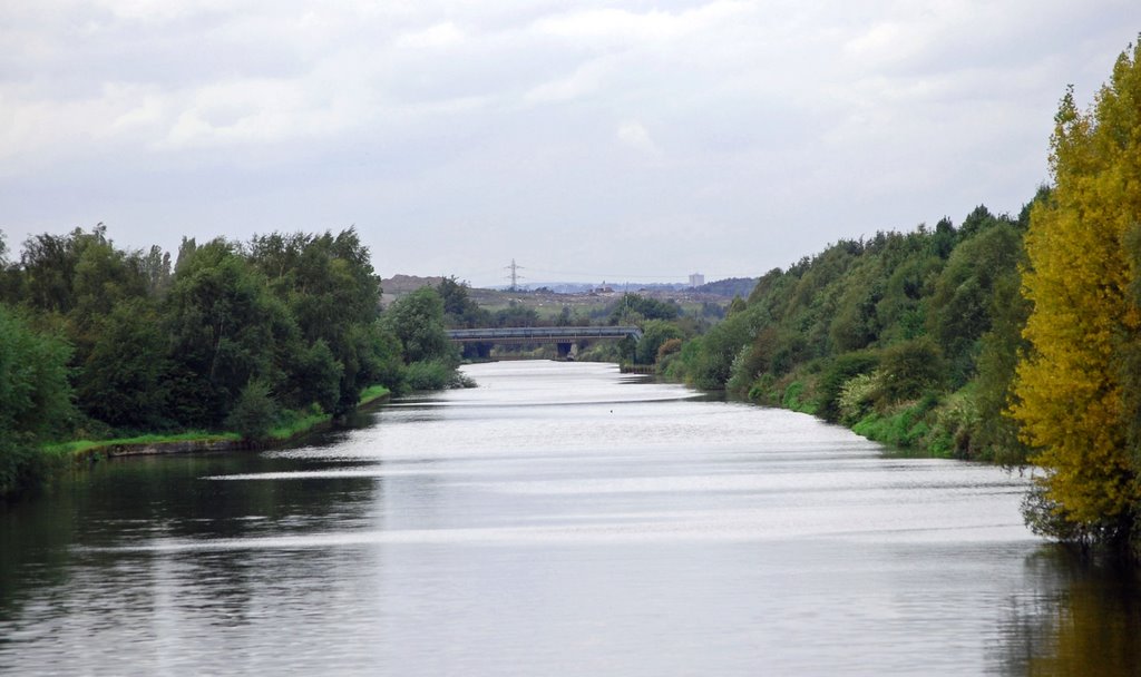
Photos of Rothwell
Rothwell Weather

Predicción: Broken clouds
Temperatura: 9.9°
Humedad: 82%
Hora actual: 01:11 AM
Amanece: 05:53 AM
Anochece: 08:16 PM


