Distance between  Shetland and
  Inverness
235.63 mi Straight Distance
314.09 mi Driving Distance
1 day 18 hours Estimated Driving Time
The straight distance between Shetland (Scotland) and Inverness (Scotland) is 235.63 mi, but the driving distance is 314.09 mi.
It takes 14 hours 31 mins to go from Shetland to Inverness.
Driving directions from Shetland to Inverness
Distance in kilometers
Straight distance: 379.13 km. Route distance: 505.36 km
Shetland, United Kingdom
Latitude: 60.5297 // Longitude: -1.26594
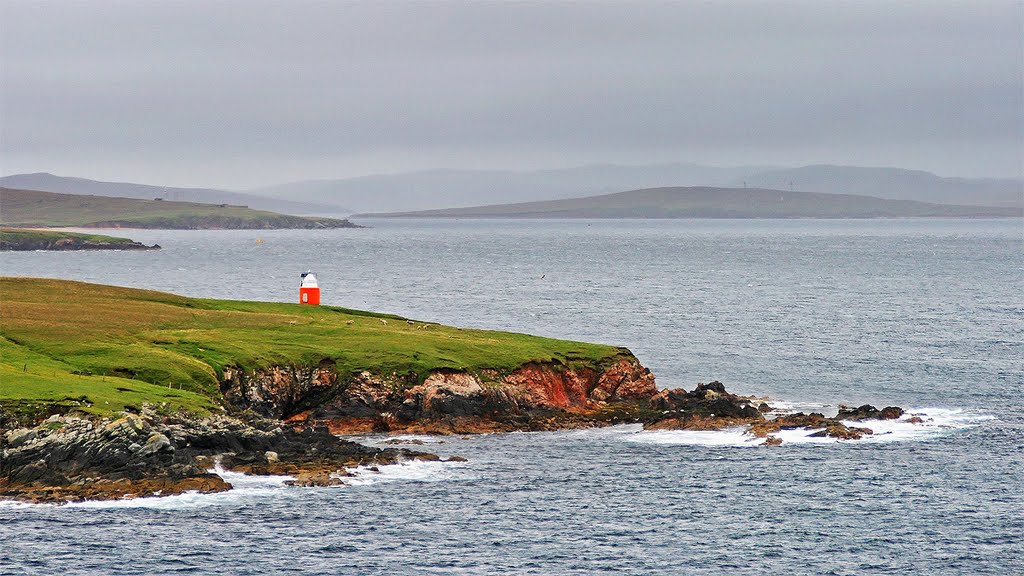
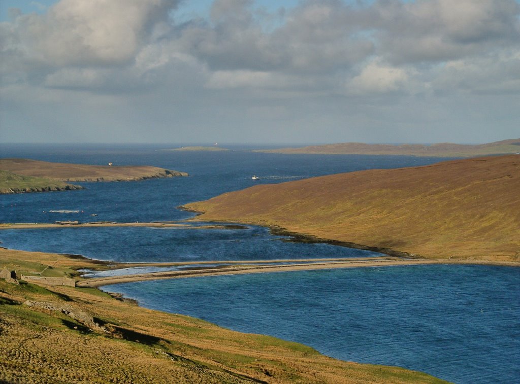
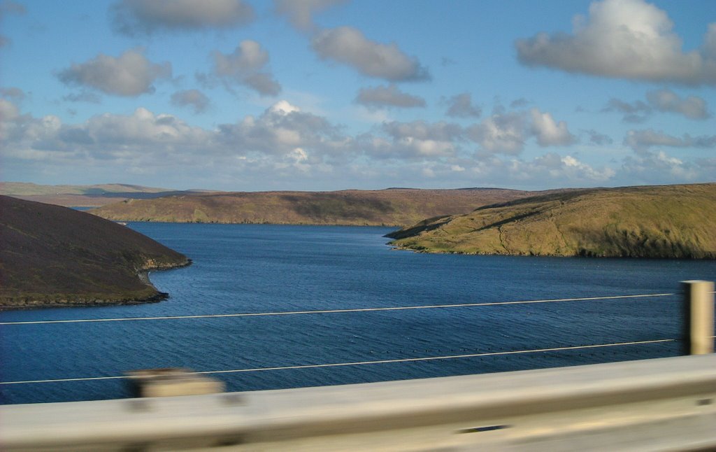
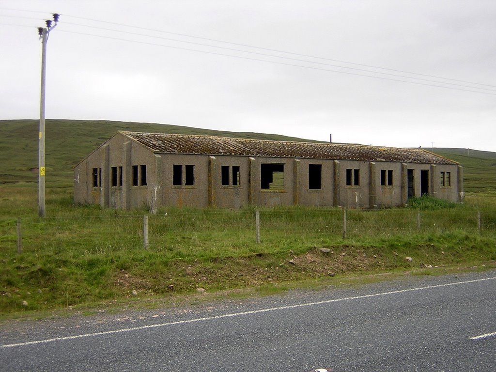
Photos of Shetland
Shetland Weather

Predicción: Overcast clouds
Temperatura: 5.4°
Humedad: 79%
Hora actual: 12:00 AM
Amanece: 04:33 AM
Anochece: 07:34 PM
Inverness, United Kingdom
Latitude: 57.4778 // Longitude: -4.22472
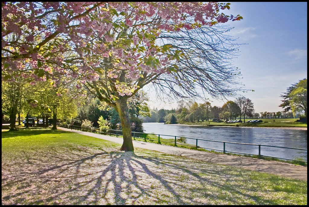
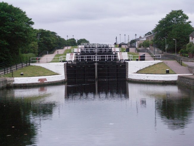
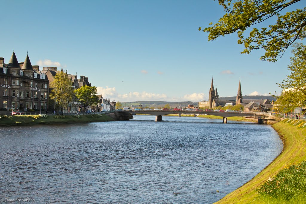
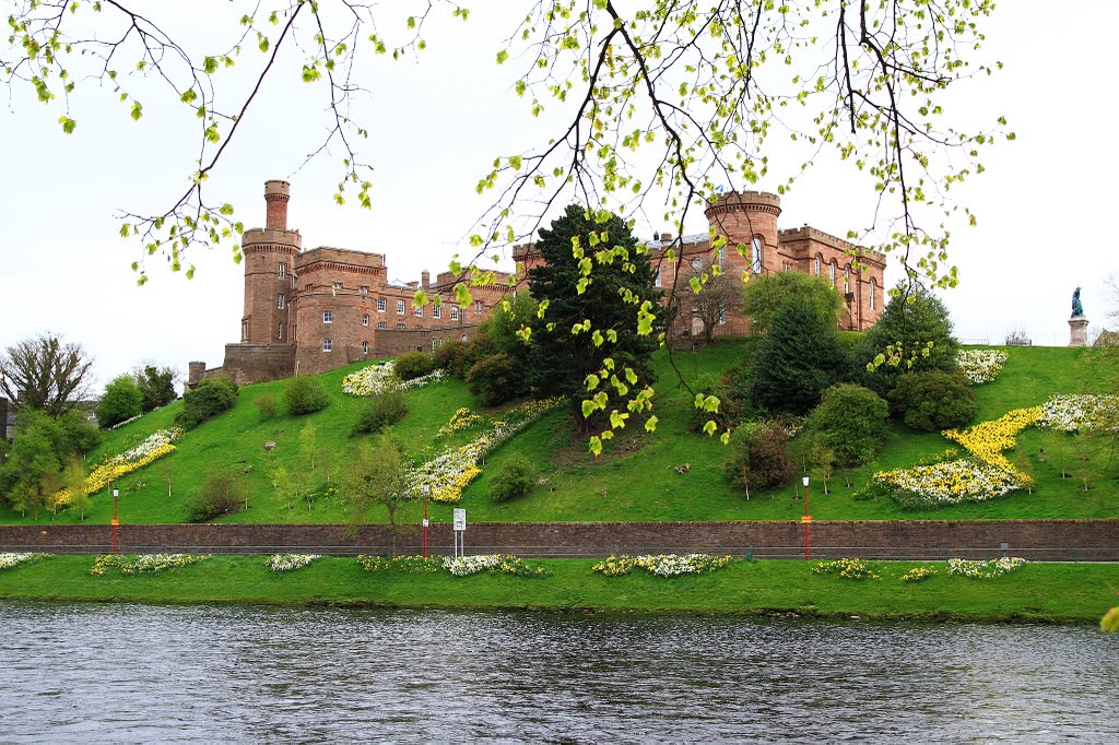
Photos of Inverness
Inverness Weather

Predicción: Overcast clouds
Temperatura: 3.3°
Humedad: 94%
Hora actual: 02:01 AM
Amanece: 05:56 AM
Anochece: 08:35 PM


