Distance between  Sedbergh and
  Sandhurst
217.92 mi Straight Distance
271.30 mi Driving Distance
4 hours 6 mins Estimated Driving Time
The straight distance between Sedbergh (England) and Sandhurst (England) is 217.92 mi, but the driving distance is 271.30 mi.
It takes 4 hours 23 mins to go from Sedbergh to Sandhurst.
Driving directions from Sedbergh to Sandhurst
Distance in kilometers
Straight distance: 350.64 km. Route distance: 436.52 km
Sedbergh, United Kingdom
Latitude: 54.3236 // Longitude: -2.52817
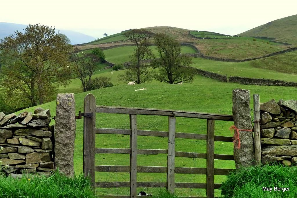
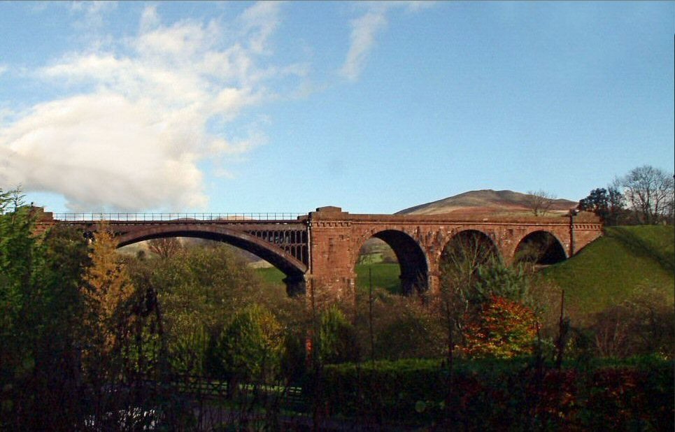
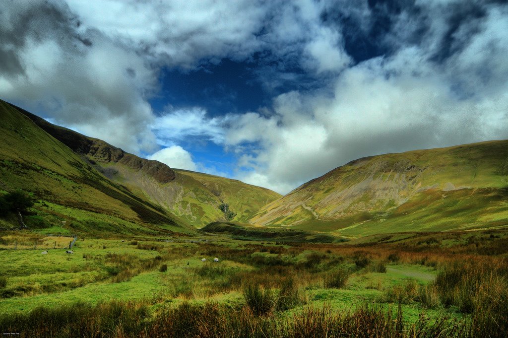
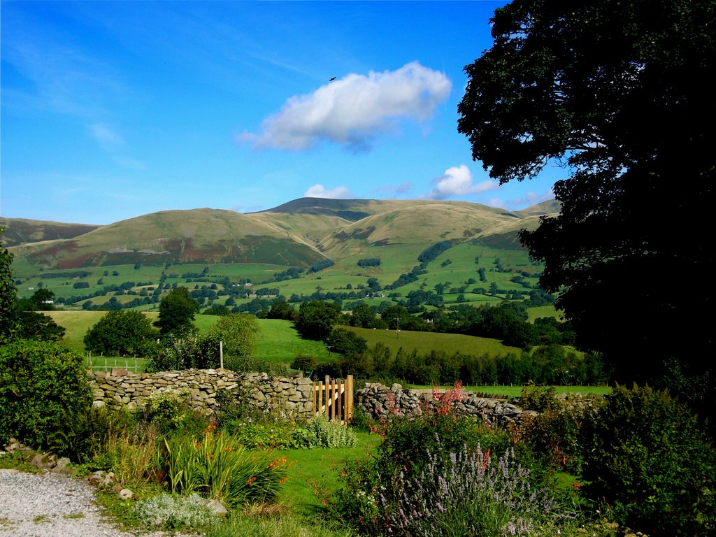
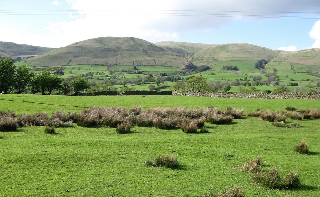
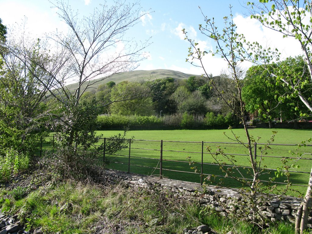
Photos of Sedbergh
Sedbergh Weather

Predicción: Scattered clouds
Temperatura: 2.5°
Humedad: 85%
Hora actual: 04:39 AM
Amanece: 05:58 AM
Anochece: 08:19 PM
Sandhurst, United Kingdom
Latitude: 51.3462 // Longitude: -0.804268
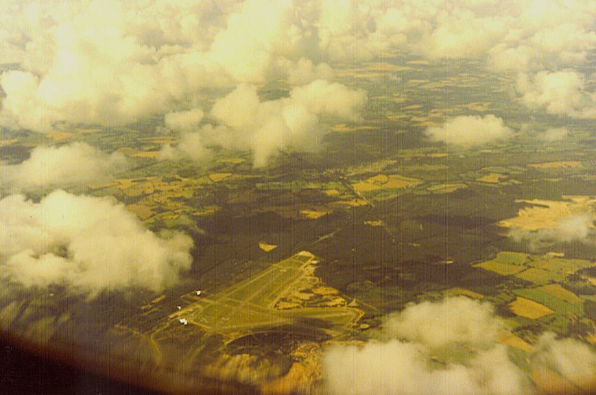
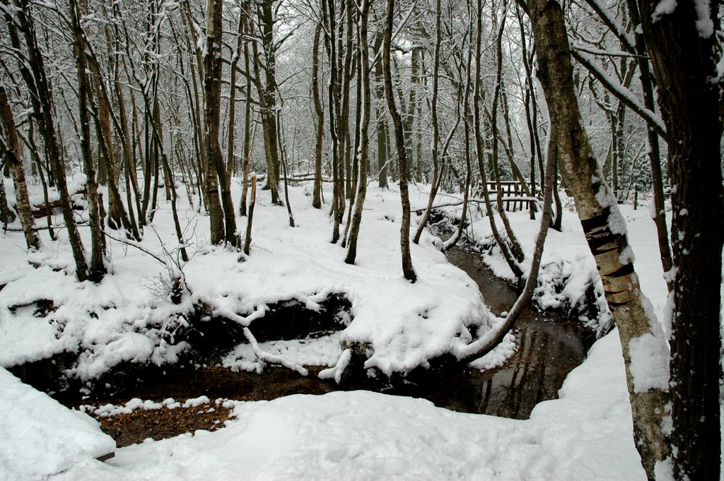
Photos of Sandhurst
Sandhurst Weather

Predicción: Broken clouds
Temperatura: 5.1°
Humedad: 74%
Hora actual: 04:39 AM
Amanece: 05:58 AM
Anochece: 08:05 PM


