Distance between  Scotch Street and
  Mountfield
18.54 mi Straight Distance
22.58 mi Driving Distance
26 minutes Estimated Driving Time
The straight distance between Scotch Street (Northern Ireland) and Mountfield (Northern Ireland) is 18.54 mi, but the driving distance is 22.58 mi.
It takes to go from Scotch Street to Mountfield.
Driving directions from Scotch Street to Mountfield
Distance in kilometers
Straight distance: 29.83 km. Route distance: 36.33 km
Scotch Street, United Kingdom
Latitude: 54.5029 // Longitude: -6.77168
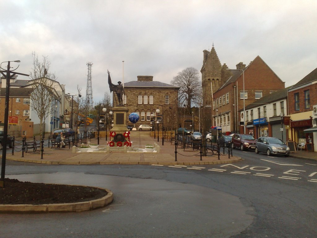
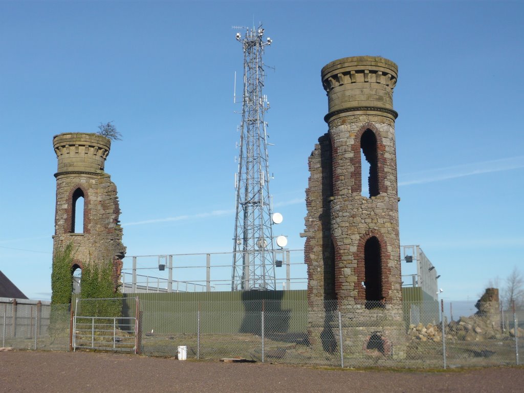
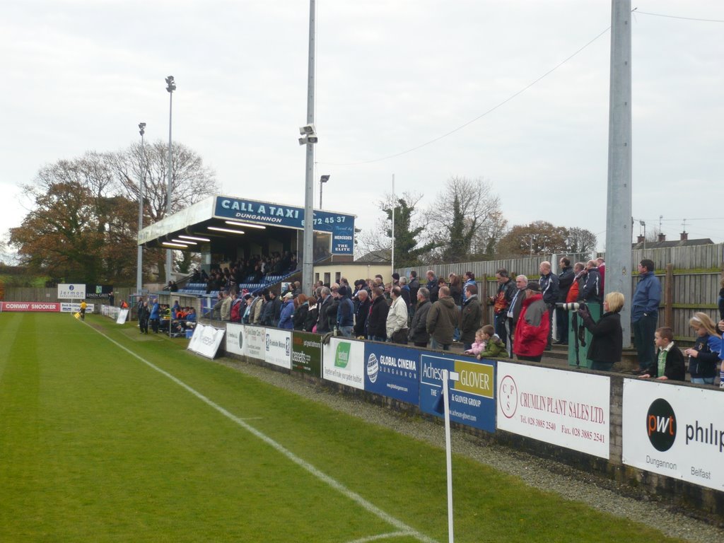
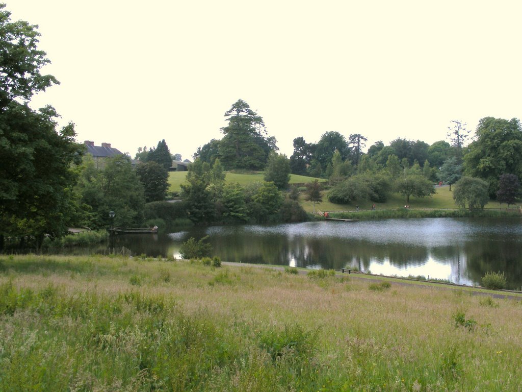
Photos of Scotch Street
Scotch Street Weather

Predicción: Broken clouds
Temperatura: 8.8°
Humedad: 79%
Hora actual: 06:56 PM
Amanece: 06:19 AM
Anochece: 08:33 PM
Mountfield, United Kingdom
Latitude: 54.645 // Longitude: -7.16443
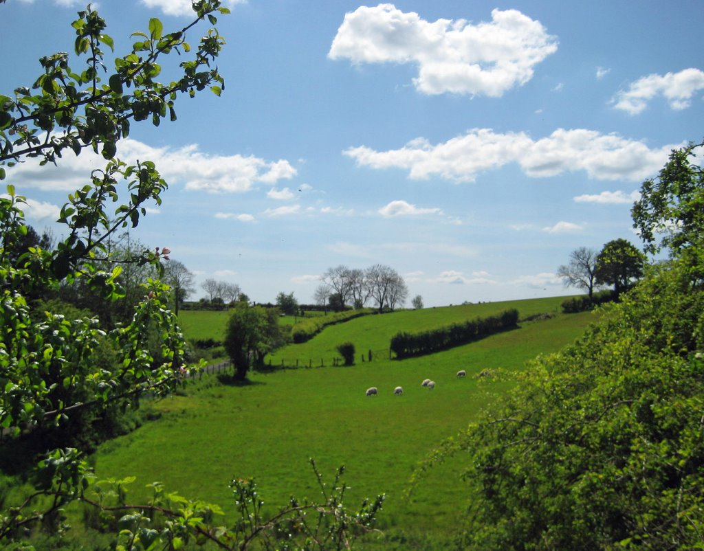
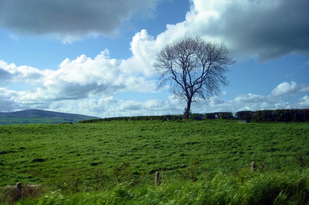
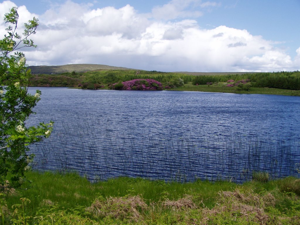
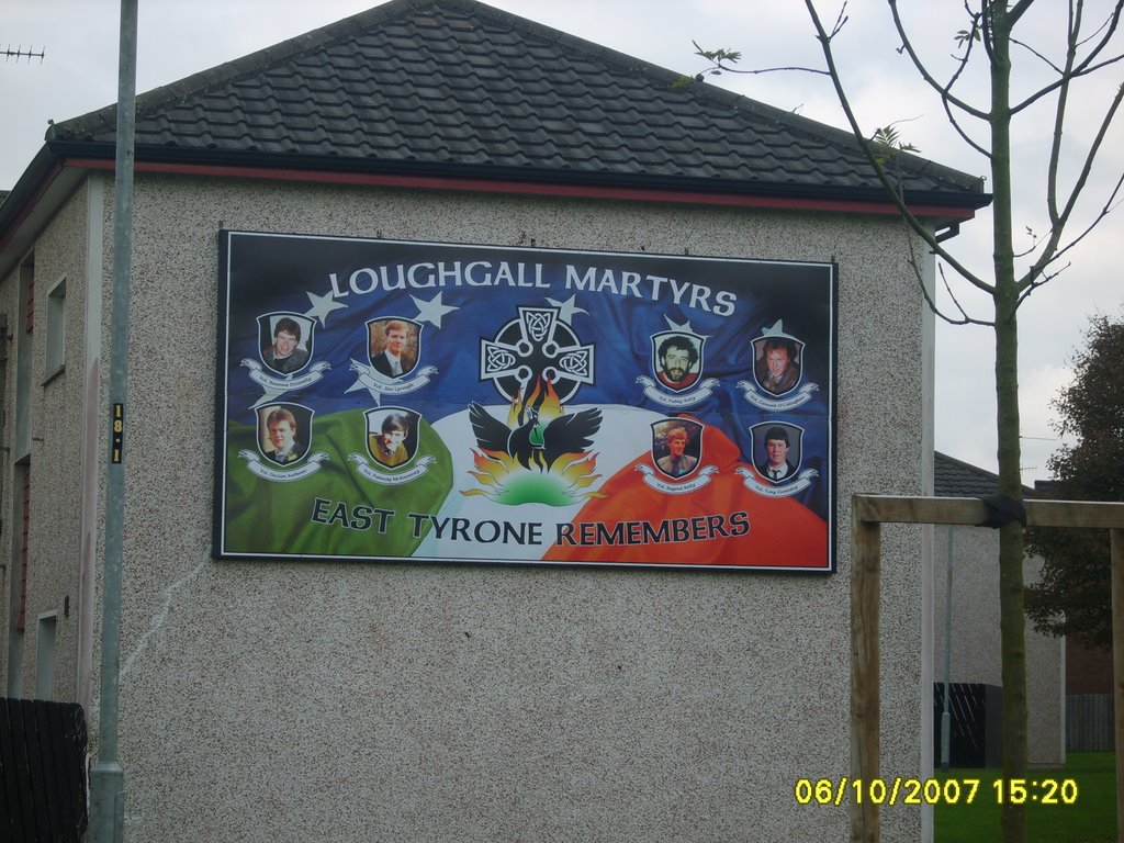
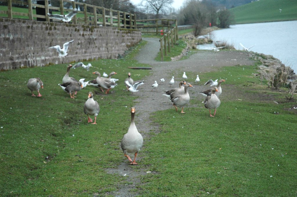
Photos of Mountfield
Mountfield Weather

Predicción: Broken clouds
Temperatura: 5.9°
Humedad: 82%
Hora actual: 01:00 AM
Amanece: 06:21 AM
Anochece: 08:35 PM


![[Untitled] [Untitled]](/photos/5815799.jpg)
