Distance between  Scarborough and
  St Mawes
345.34 mi Straight Distance
422.24 mi Driving Distance
6 hours 48 mins Estimated Driving Time
The straight distance between Scarborough (England) and St Mawes (England) is 345.34 mi, but the driving distance is 422.24 mi.
It takes to go from Scarborough to St Mawes.
Driving directions from Scarborough to St Mawes
Distance in kilometers
Straight distance: 555.64 km. Route distance: 679.39 km
Scarborough, United Kingdom
Latitude: 54.2831 // Longitude: -0.399752
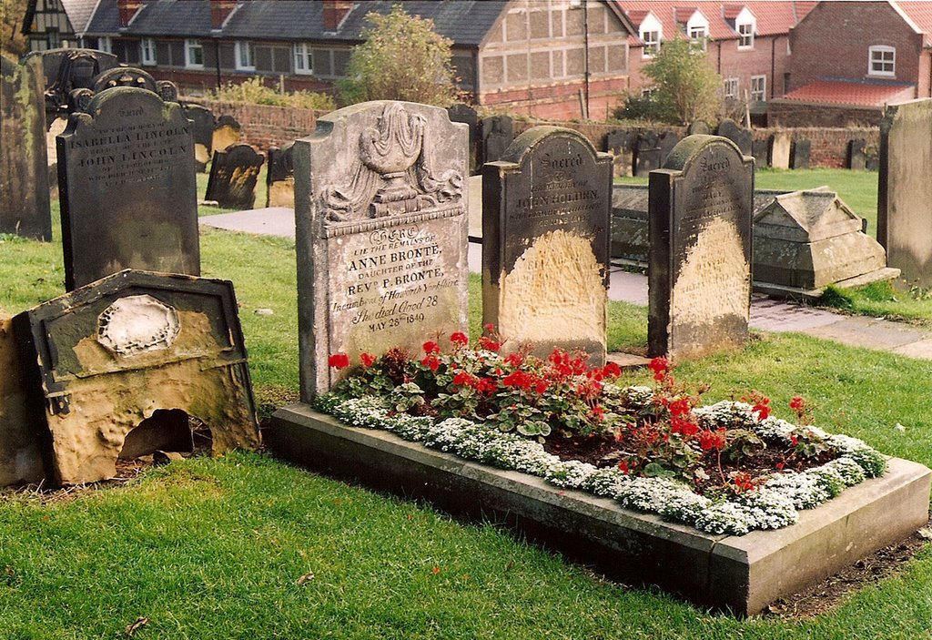
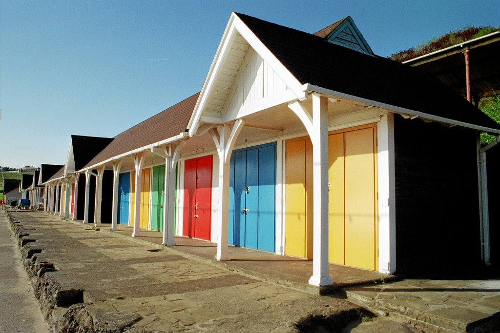
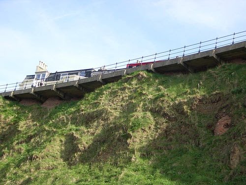
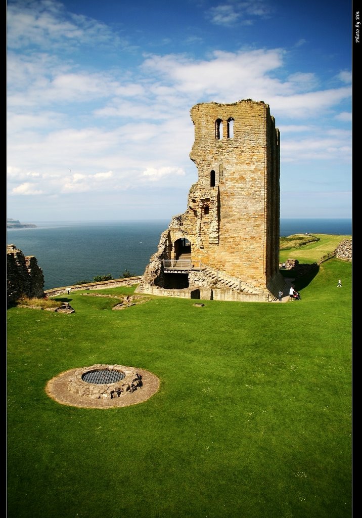
Photos of Scarborough
Scarborough Weather

Predicción: Overcast clouds
Temperatura: 6.6°
Humedad: 87%
Hora actual: 06:41 AM
Amanece: 05:54 AM
Anochece: 08:07 PM
St Mawes, United Kingdom
Latitude: 50.1586 // Longitude: -5.01463
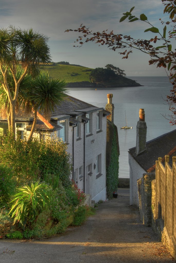
Photos of St Mawes
St Mawes Weather

Predicción: Overcast clouds
Temperatura: 9.4°
Humedad: 76%
Hora actual: 06:41 AM
Amanece: 06:22 AM
Anochece: 08:16 PM


