Distance between  St Mary Cray and
  Stamford
90.99 mi Straight Distance
119.75 mi Driving Distance
1 hour 54 mins Estimated Driving Time
The straight distance between St Mary Cray (England) and Stamford (England) is 90.99 mi, but the driving distance is 119.75 mi.
It takes 1 hour 56 mins to go from St Mary Cray to Stamford.
Driving directions from St Mary Cray to Stamford
Distance in kilometers
Straight distance: 146.40 km. Route distance: 192.67 km
St Mary Cray, United Kingdom
Latitude: 51.386 // Longitude: 0.113061
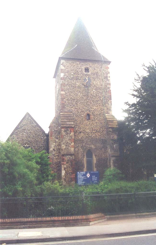
Photos of St Mary Cray
St Mary Cray Weather

Predicción: Clear sky
Temperatura: 13.9°
Humedad: 45%
Hora actual: 04:20 PM
Amanece: 05:55 AM
Anochece: 08:02 PM
Stamford, United Kingdom
Latitude: 52.6513 // Longitude: -0.480216
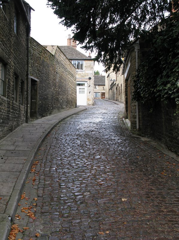
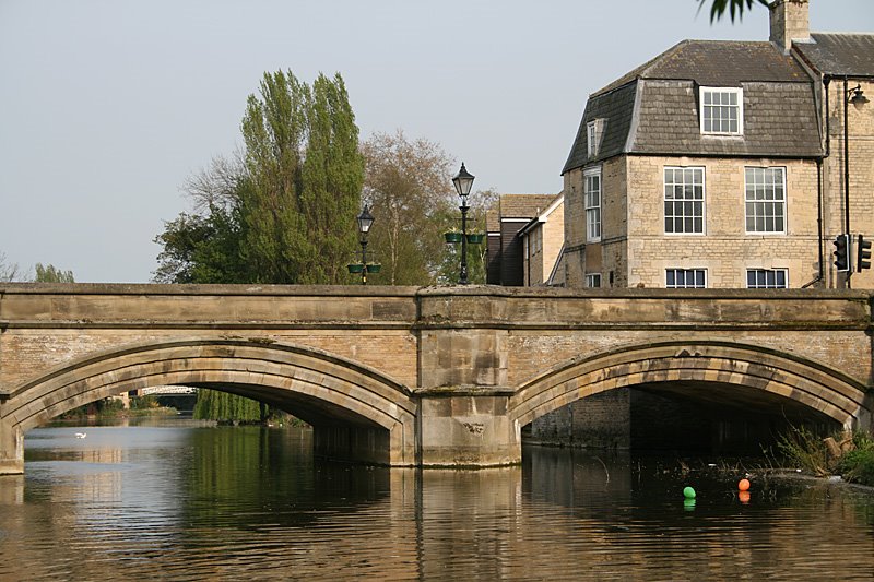
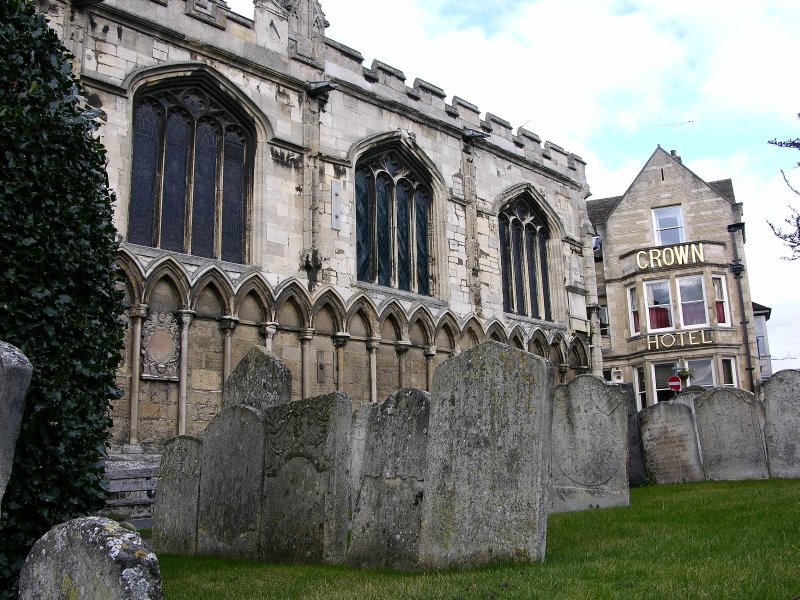
Photos of Stamford
Stamford Weather

Predicción: Clear sky
Temperatura: 11.7°
Humedad: 48%
Hora actual: 04:20 PM
Amanece: 05:54 AM
Anochece: 08:07 PM


