Distance between  Rugeley and
  Morley
69.34 mi Straight Distance
101.61 mi Driving Distance
1 hour 40 mins Estimated Driving Time
The straight distance between Rugeley (England) and Morley (England) is 69.34 mi, but the driving distance is 101.61 mi.
It takes 1 hour 57 mins to go from Rugeley to Morley.
Driving directions from Rugeley to Morley
Distance in kilometers
Straight distance: 111.57 km. Route distance: 163.49 km
Rugeley, United Kingdom
Latitude: 52.7615 // Longitude: -1.93597
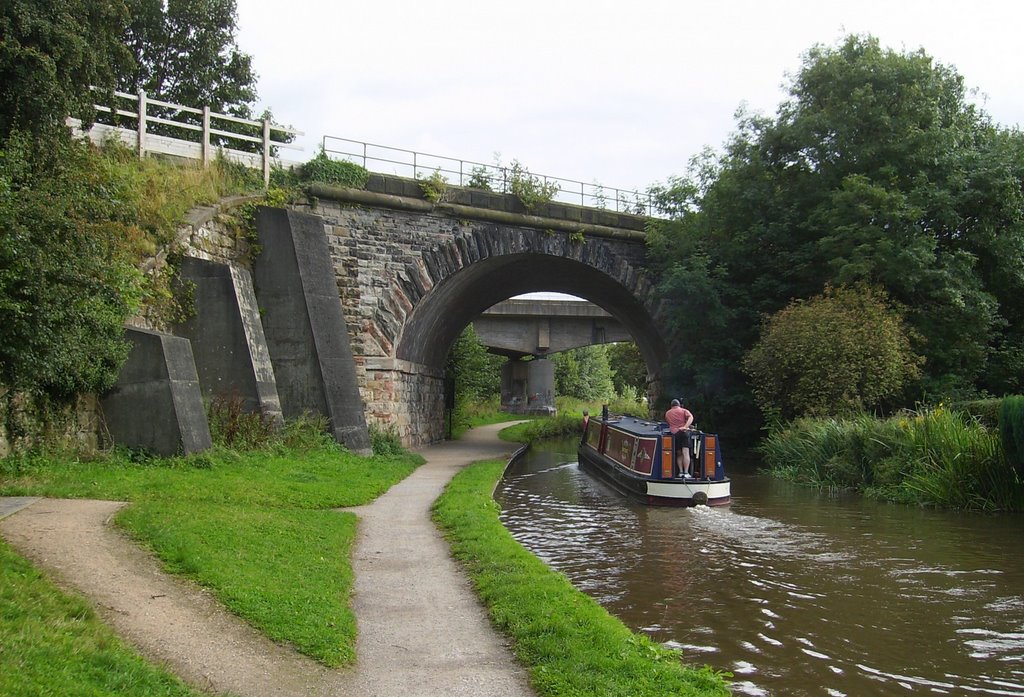
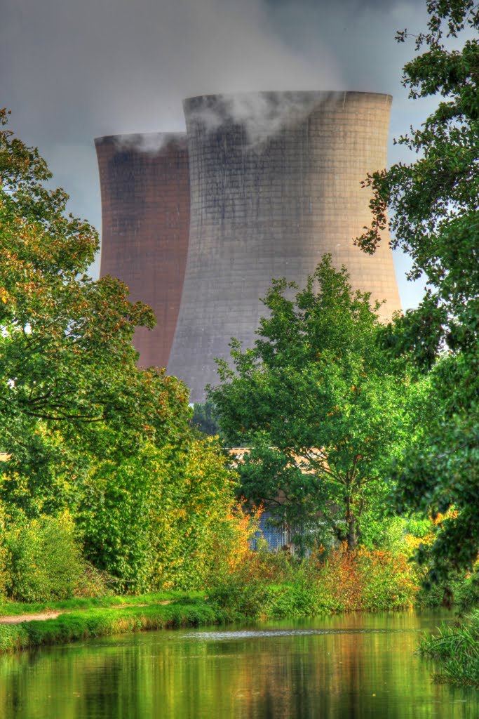
Photos of Rugeley
Rugeley Weather

Predicción: Scattered clouds
Temperatura: 7.7°
Humedad: 74%
Hora actual: 07:54 PM
Amanece: 06:04 AM
Anochece: 08:10 PM
Morley, United Kingdom
Latitude: 53.7445 // Longitude: -1.59804
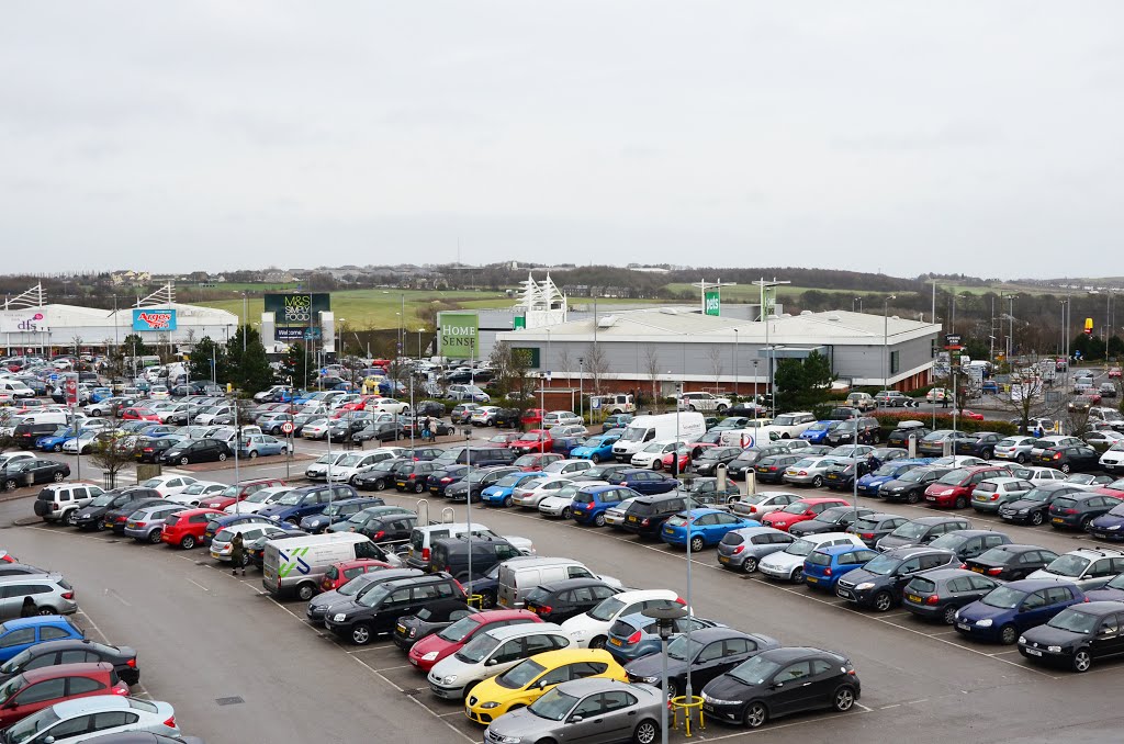
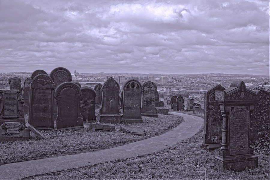
Photos of Morley
Morley Weather

Predicción: Few clouds
Temperatura: 8.4°
Humedad: 61%
Hora actual: 07:54 PM
Amanece: 06:00 AM
Anochece: 08:10 PM


