Distance between  Rostrevor and
  Randalstown
44.91 mi Straight Distance
65.27 mi Driving Distance
1 hour 4 mins Estimated Driving Time
The straight distance between Rostrevor (Northern Ireland) and Randalstown (Northern Ireland) is 44.91 mi, but the driving distance is 65.27 mi.
It takes to go from Rostrevor to Randalstown.
Driving directions from Rostrevor to Randalstown
Distance in kilometers
Straight distance: 72.26 km. Route distance: 105.02 km
Rostrevor, United Kingdom
Latitude: 54.1007 // Longitude: -6.2004
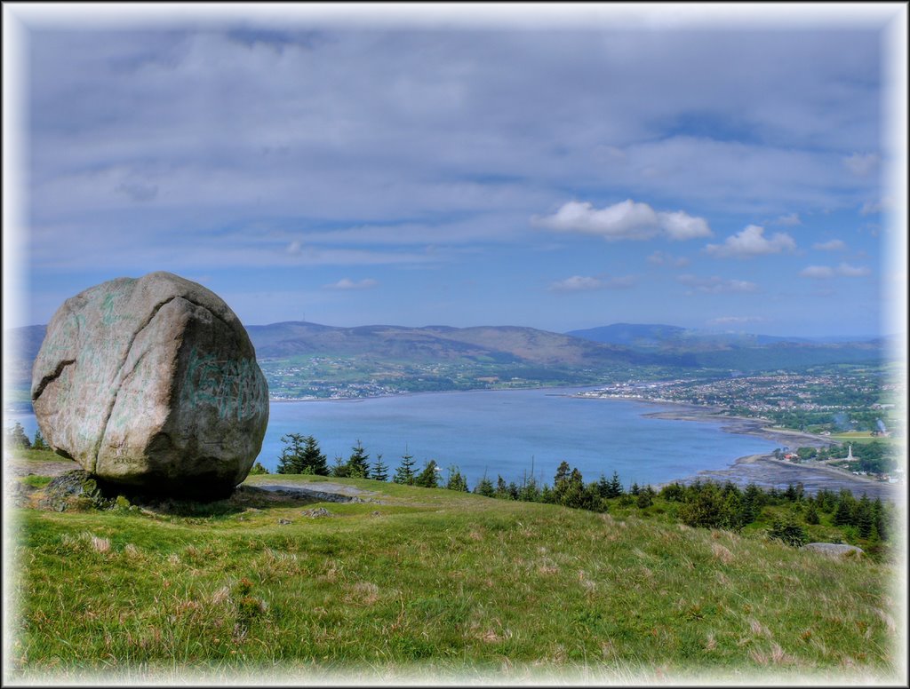
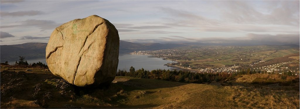
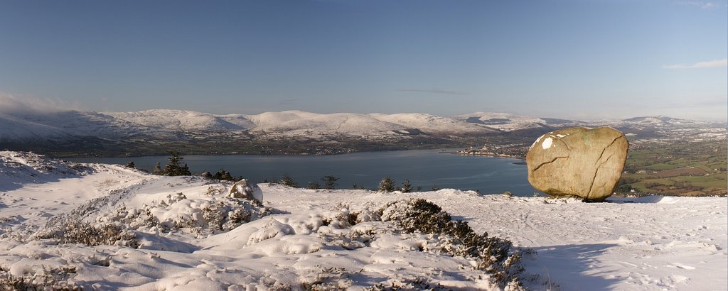
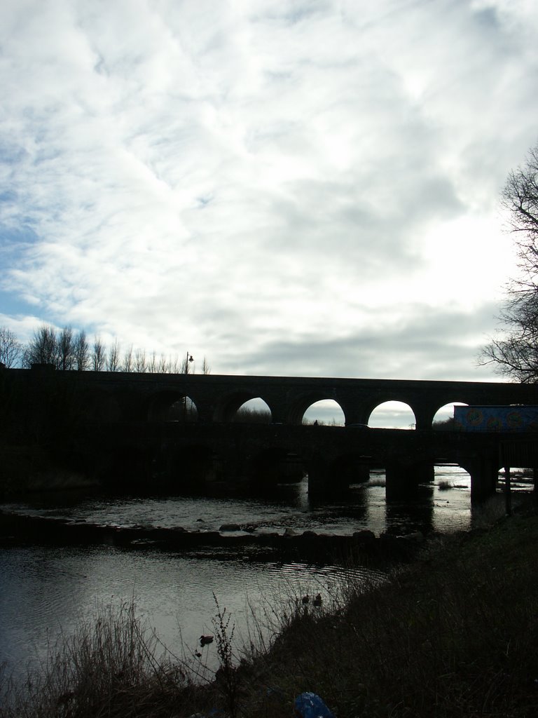
Photos of Rostrevor
Rostrevor Weather

Predicción: Scattered clouds
Temperatura: 3.4°
Humedad: 90%
Hora actual: 03:02 AM
Amanece: 06:13 AM
Anochece: 08:33 PM
Randalstown, United Kingdom
Latitude: 54.7468 // Longitude: -6.32275
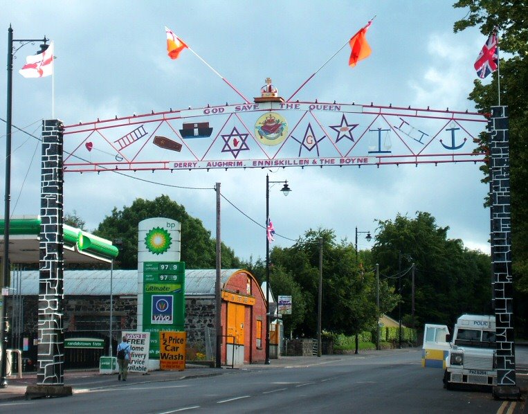
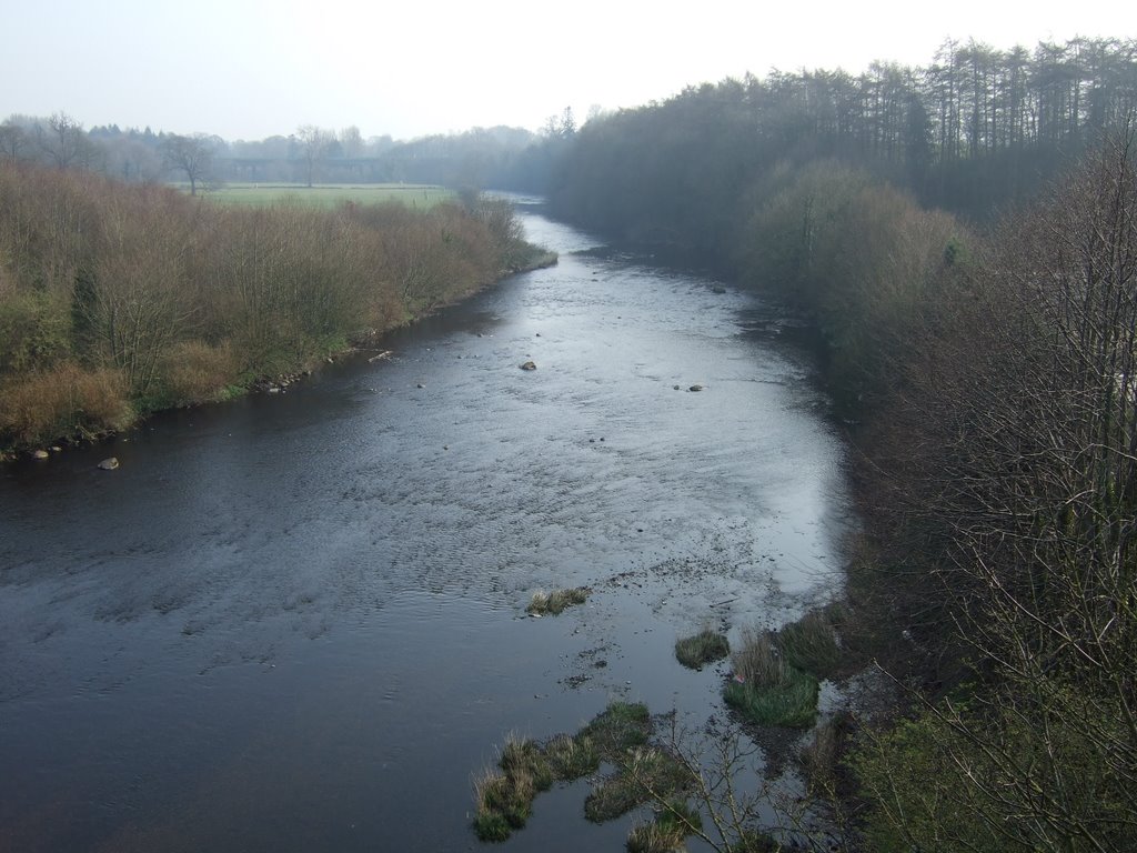
Photos of Randalstown
Randalstown Weather

Predicción: Overcast clouds
Temperatura: 1.6°
Humedad: 93%
Hora actual: 03:02 AM
Amanece: 06:12 AM
Anochece: 08:36 PM


