Distance between  Rochdale and
  Pateley Bridge
36.51 mi Straight Distance
56.15 mi Driving Distance
1 hour 7 mins Estimated Driving Time
The straight distance between Rochdale (England) and Pateley Bridge (England) is 36.51 mi, but the driving distance is 56.15 mi.
It takes 1 hour 31 mins to go from Rochdale to Pateley Bridge.
Driving directions from Rochdale to Pateley Bridge
Distance in kilometers
Straight distance: 58.75 km. Route distance: 90.35 km
Rochdale, United Kingdom
Latitude: 53.6141 // Longitude: -2.16181
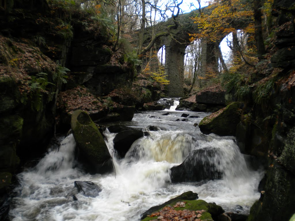
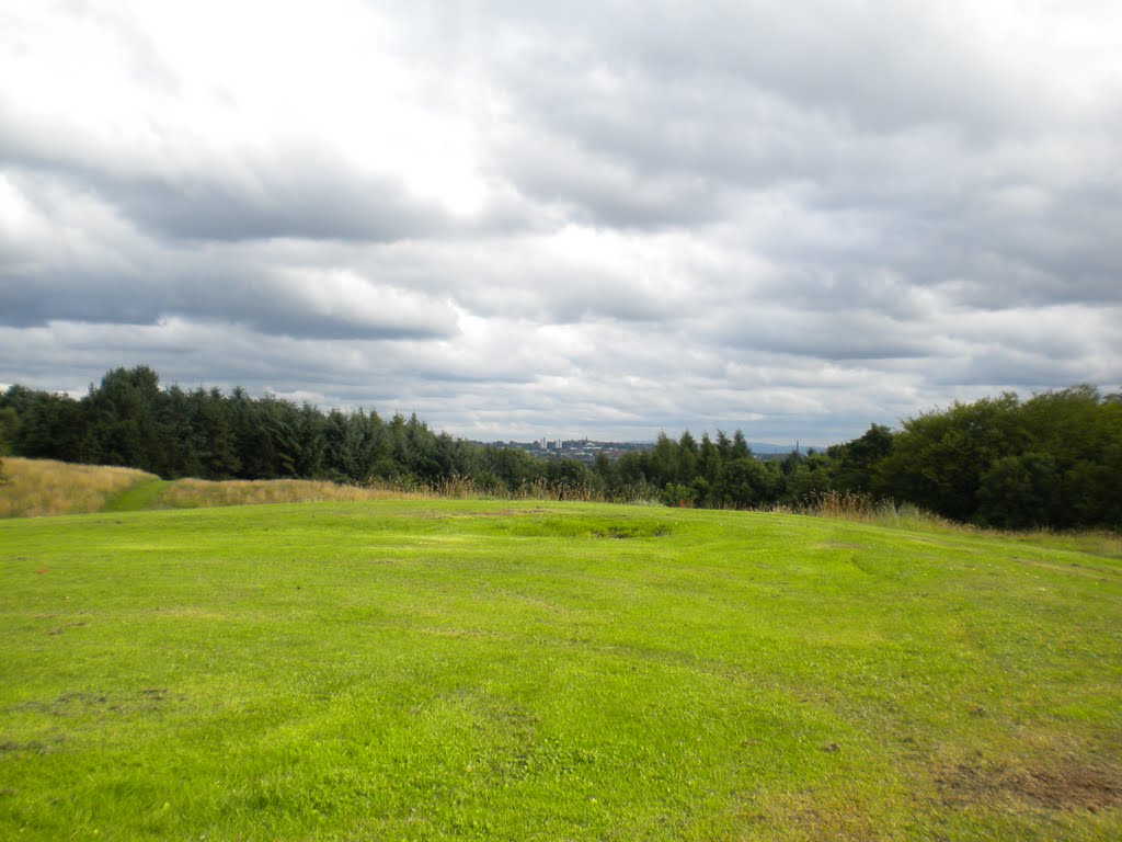
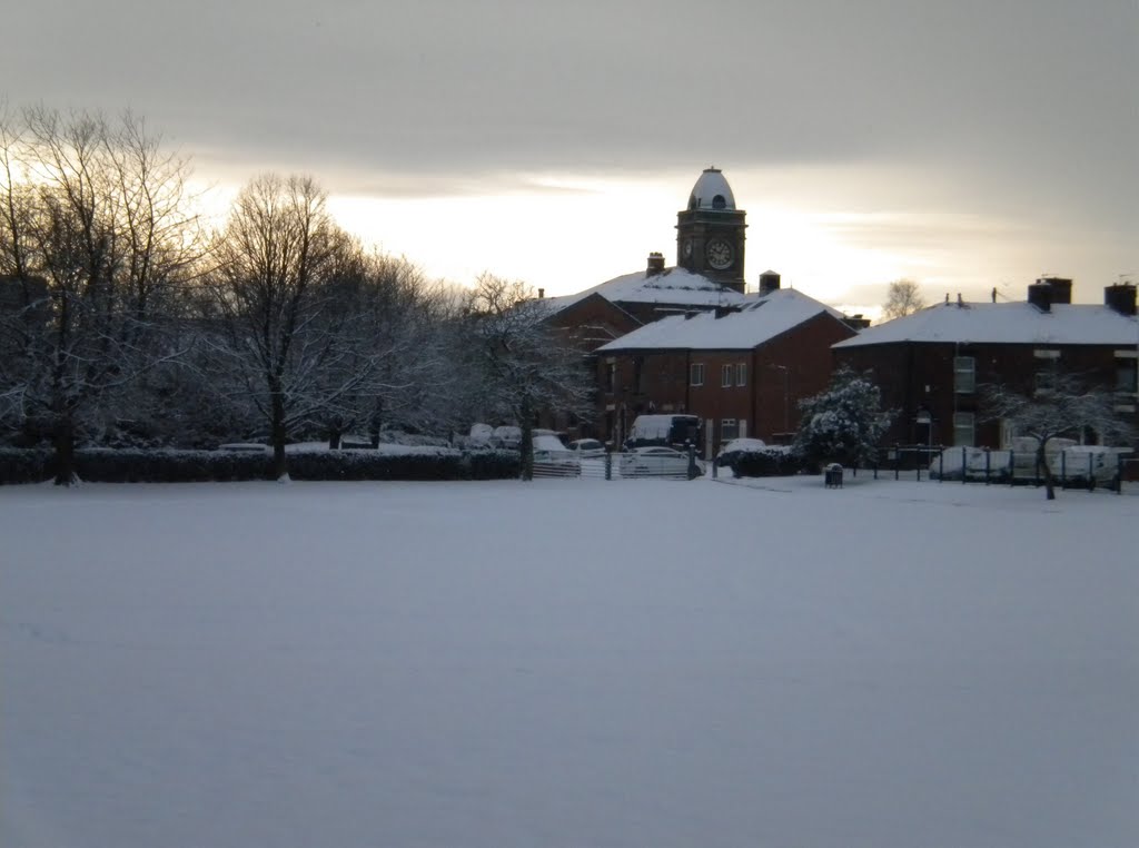
Photos of Rochdale
Rochdale Weather

Predicción: Clear sky
Temperatura: 1.4°
Humedad: 86%
Hora actual: 03:06 AM
Amanece: 05:58 AM
Anochece: 08:16 PM
Pateley Bridge, United Kingdom
Latitude: 54.085 // Longitude: -1.75522
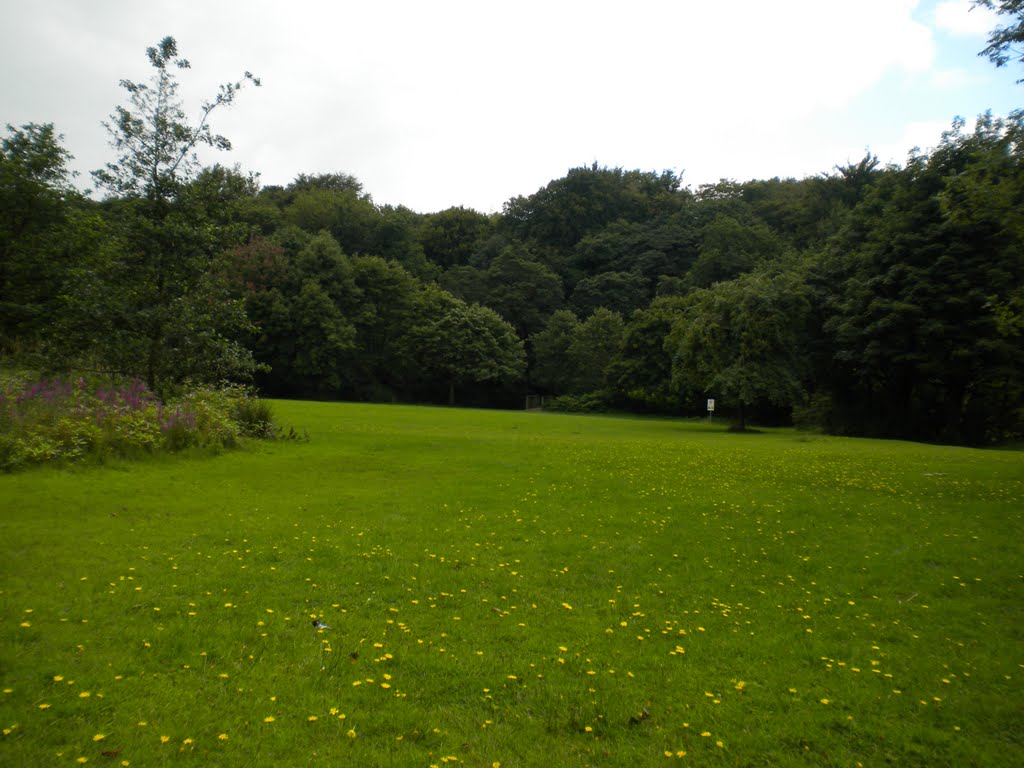
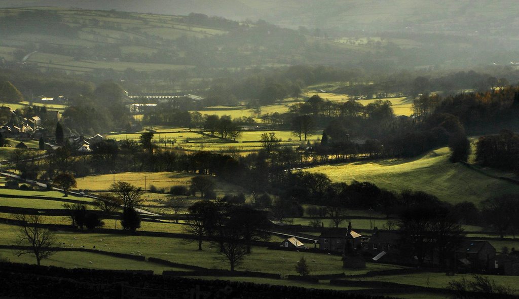
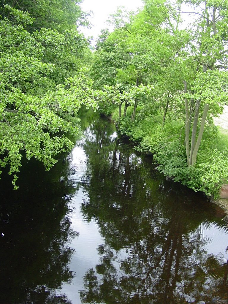
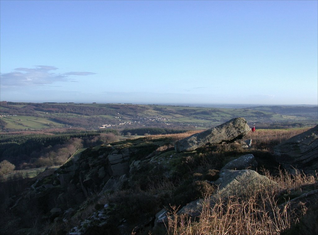
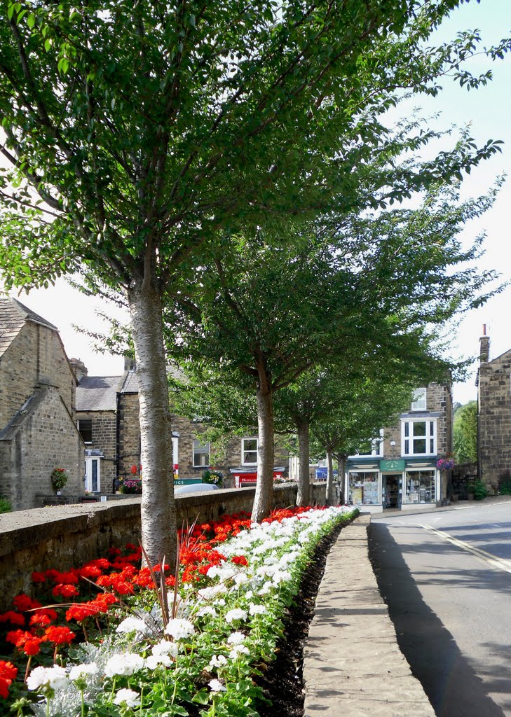
Photos of Pateley Bridge
Pateley Bridge Weather

Predicción: Clear sky
Temperatura: 1.4°
Humedad: 89%
Hora actual: 03:06 AM
Amanece: 05:56 AM
Anochece: 08:16 PM


