
Distance between  Queensferry and
  Isle of Arran| Isle of Harris
362.62 mi Straight Distance
505.29 mi Driving Distance
9 hours 32 mins Estimated Driving Time
The straight distance between Queensferry (Wales) and Isle of Arran| Isle of Harris (Scotland) is 362.62 mi, but the driving distance is 505.29 mi.
It takes to go from Queensferry to Isle of Arran| Isle of Harris.
Driving directions from Queensferry to Isle of Arran| Isle of Harris
Distance in kilometers
Straight distance: 583.46 km. Route distance: 813.02 km
Queensferry, United Kingdom
Latitude: 53.2083 // Longitude: -3.0201
Photos of Queensferry


")


Queensferry Weather

Predicción: Broken clouds
Temperatura: 10.4°
Humedad: 86%
Hora actual: 12:38 AM
Amanece: 06:01 AM
Anochece: 08:20 PM
Isle of Arran| Isle of Harris, United Kingdom
Latitude: 57.9797 // Longitude: -6.89739
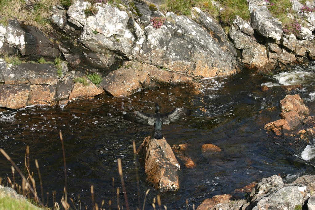
Photos of Isle of Arran| Isle of Harris


Isle of Arran| Isle of Harris Weather
Predicción: Broken clouds
Temperatura: 4.4°
Humedad: 83%
Hora actual: 01:00 AM
Amanece: 06:02 AM
Anochece: 08:50 PM


