Distance between  Pudsey and
  Peacehaven
218.89 mi Straight Distance
268.92 mi Driving Distance
4 hours 15 mins Estimated Driving Time
The straight distance between Pudsey (England) and Peacehaven (England) is 218.89 mi, but the driving distance is 268.92 mi.
It takes 4 hours 45 mins to go from Pudsey to Peacehaven.
Driving directions from Pudsey to Peacehaven
Distance in kilometers
Straight distance: 352.19 km. Route distance: 432.70 km
Pudsey, United Kingdom
Latitude: 53.7957 // Longitude: -1.65871
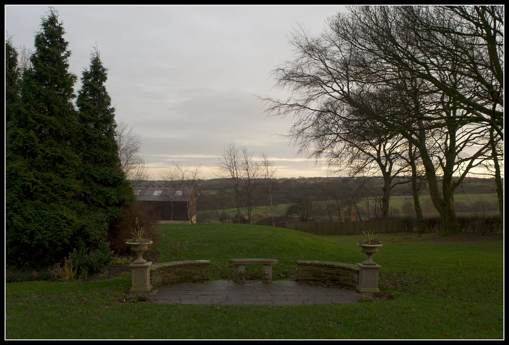
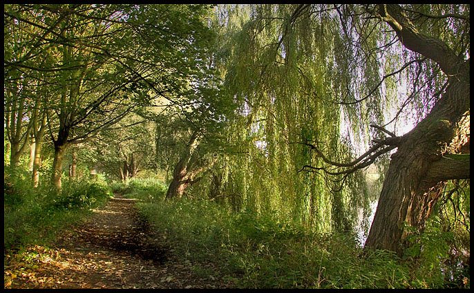
Photos of Pudsey
Pudsey Weather

Predicción: Light intensity drizzle
Temperatura: 8.5°
Humedad: 86%
Hora actual: 07:16 PM
Amanece: 05:56 AM
Anochece: 08:15 PM
Peacehaven, United Kingdom
Latitude: 50.7932 // Longitude: -0.005174
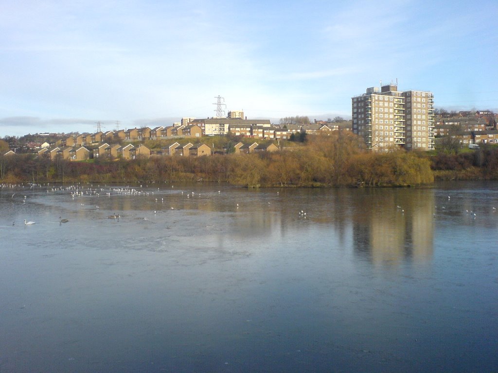
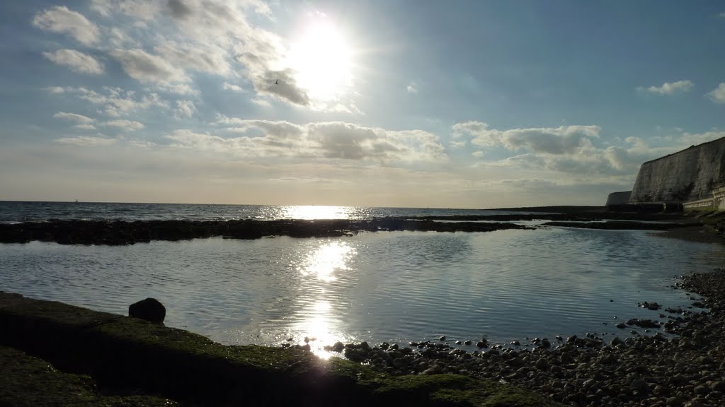
Photos of Peacehaven
Peacehaven Weather

Predicción: Overcast clouds
Temperatura: 9.6°
Humedad: 66%
Hora actual: 07:16 PM
Amanece: 05:56 AM
Anochece: 08:01 PM


