Distance between  Presteigne and
  Milford Haven
94.86 mi Straight Distance
111.86 mi Driving Distance
2 hours 14 mins Estimated Driving Time
The straight distance between Presteigne (Wales) and Milford Haven (Wales) is 94.86 mi, but the driving distance is 111.86 mi.
It takes to go from Presteigne to Milford Haven.
Driving directions from Presteigne to Milford Haven
Distance in kilometers
Straight distance: 152.63 km. Route distance: 179.98 km
Presteigne, United Kingdom
Latitude: 52.272 // Longitude: -3.00516
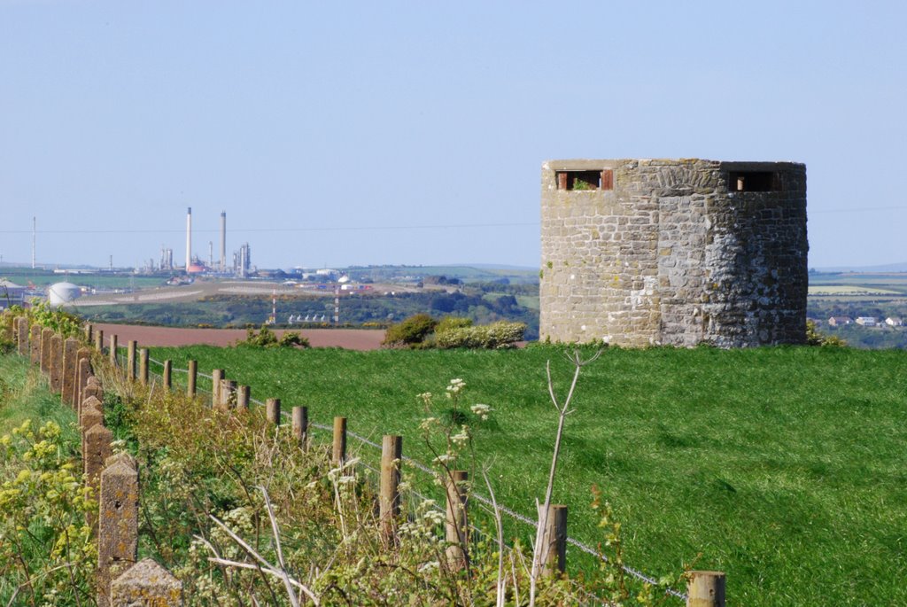
Photos of Presteigne
Presteigne Weather

Predicción: Clear sky
Temperatura: 1.7°
Humedad: 93%
Hora actual: 04:25 AM
Amanece: 06:05 AM
Anochece: 08:16 PM
Milford Haven, United Kingdom
Latitude: 51.7143 // Longitude: -5.0427
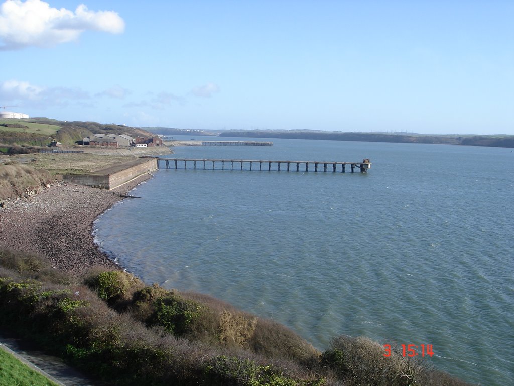
Photos of Milford Haven
Milford Haven Weather

Predicción: Clear sky
Temperatura: 5.7°
Humedad: 84%
Hora actual: 04:25 AM
Amanece: 06:15 AM
Anochece: 08:23 PM


